Post Falls and the Spokane River, Part 2
Continuing from Part 1, here are some photos from Treaty Rock Park and Falls Park in Post Falls, Idaho. These parks are separated from one another by Interstate 90, but connected by a bicycle path alongside a railroad branch line that has its own underpass.
As in part 1, these photos were taken with an older Sony Cyber-shot camera, and you can click on the images to open the full-size photos. I will be posting them out of the order in which they were taken due to the historical narrative of the area.
The history of this site is particularly intriguing as an apparent example of an entrepreneur seeking a peaceful agreement with the native inhabitants of the region rather than resorting to violence and coercion. I may need to delve into the depths of the library to learn more about the character of the men involved and the circumstances surrounding the event.
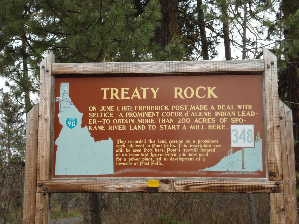
Treaty Rock is the site where Frederick Post and Chief Seltice marked their agreement to allow Post's construction of a lumber mill. It's a nice park just off Seltice Way, and located a few blocks from the Post Falls library.
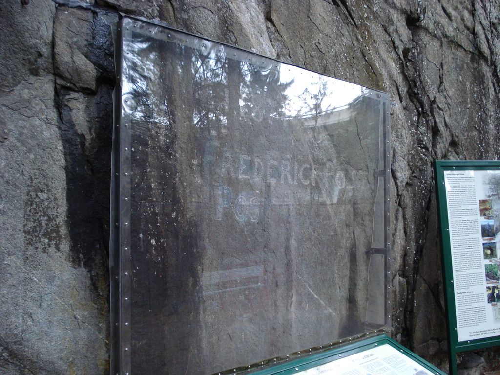
Unfortunately, the light was bad for photography at this time of day, and the glare of the sun prevented me from getting a good shot of the carving behind the protective glass. Vandals apparently can't resist the urge to deface history, and these protective measures are quite obviously necessary from the evidence of cleanup in the surrounding rocks and the remnants of past graffiti even behind the glass.
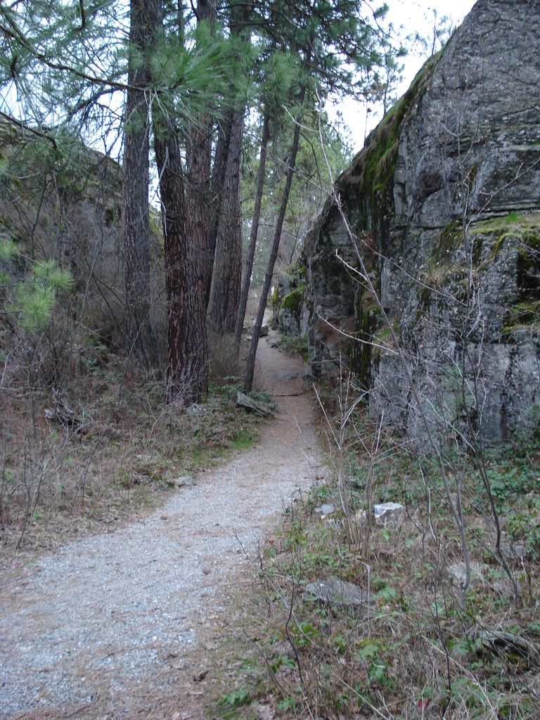
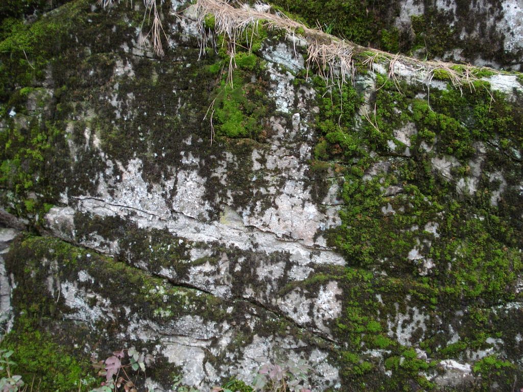
There is a short hiking trail through the rocky outcropping near the carving site. The face of the rock is covered with moss and there are dead pine needles everywhere. If not for the noise from the freeway, it would be quite peaceful.
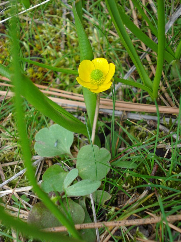
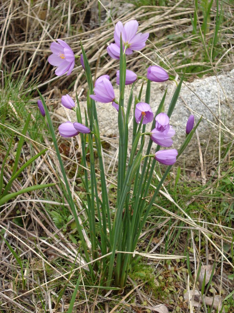
I'm afraid I don't know what kind of flowers these are. Anyone with more knowledge of northwest wildflowers is invited to chime in. Post Falls has a very different climate from where I live.
On to Falls Park on the south side of the freeway! This is also the access point for the modern dam operated by Avista Utilities, and the boundary is clearly marked with a chain link fence to protect idiots from danger. There is, however, a nice pathway with an observation deck and several other lookout points for safe viewing of the facility.
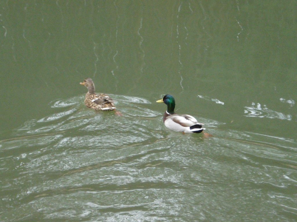
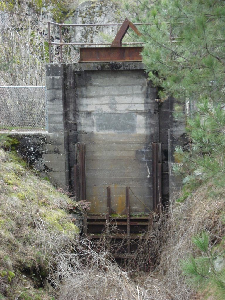
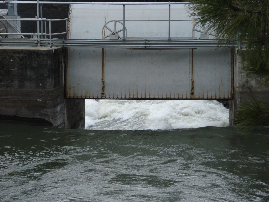
In Falls Park there is a calm inlet where an old lumber mill spillway was dammed off long ago. Mallard ducks frequent this area. There are also some old spillway gates from the former mill pond area, now long disused. Not pictured: weeping willow trees, picnic table, playground, and Pokemon Go players taking advantage of nearby Poke-stops.

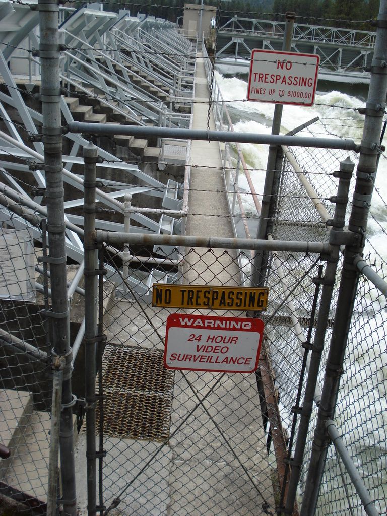
This is as close as one can come to the dam. Ignoring the warning signs here would be foolish, not to mention criminal trespass.
Here is the downstream side of the dam. It was designed as an L-shaped barrier with several spillways, all of which were wide-open today. There are actually 3 dams on the river here, since the river forks into three branches to pass through several rocky island outcroppings. This is the north channel spillway. There is a hydroelectric power plant on the center channel. At the south channel, there is another spillway dam of a simpler design.

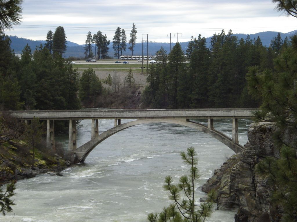
According to the interpretive signs in the park, the Avista High Bridge was designed by the Washington Power Company in 1929 and completed in 1930. It replaced an older wooden bridge that provided rail and motor vehicle access to the site during construction of the original dams. Access to the bridge is barred by a tall chain-link fence and a locked gate. Like the spillway catwalk access gate, there are signs warning against trespass due to various dangers.
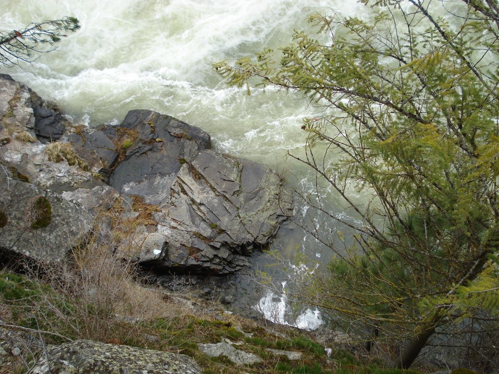
Looking down from another observation point near the bridge, both the depth of this little canyon and the force of the churning water are apparent. It's a shame a 2-D photo can't properly convey the scale, though.
I did also shoot a short video of the water cascading through the dam.