Under an iron mountain: walking the Dungonnell Way
The Antrim hills are a rich walking environment, with landscapes ranging from the fertile and famously picturesque Glens, to upland blanket bogs that look (and feel) bleak but represent a globally-important example of this habitat (and a valuable carbon sink.) Today the landscape is given over to farming and forestry, but this wasn’t always the case, as I discovered when I walked the Dungonnell Way.

The Dungonnel Way was an initiative led by Glenravel Environmental Improvement Association that has created a 9.5-mile circular walk. Funding for the project was by the Environment and Heritage Service and the Causeway Coast and Glens Heritage Trust. The waymarked trail is described by the Walk NI website as ‘an outstanding opportunity to experience the isolation of the Antrim Hills without getting your feet wet as the entire length is on hard surface’, alhough a couple of irresistible short detours did see me in the boggy ground.
An outstanding opportunity to experience the isolation of the Antrim Hills without getting your feet wet...
I set off from unlovely Cargan, a small village that nowadays survives as a commuter dormitory for nearby Ballymena but which was once, in Victorian times, one of several mining villages in the area, known then as Fisherstown after local landowner and miner James Fisher.
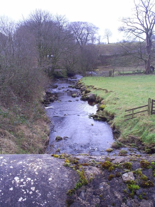
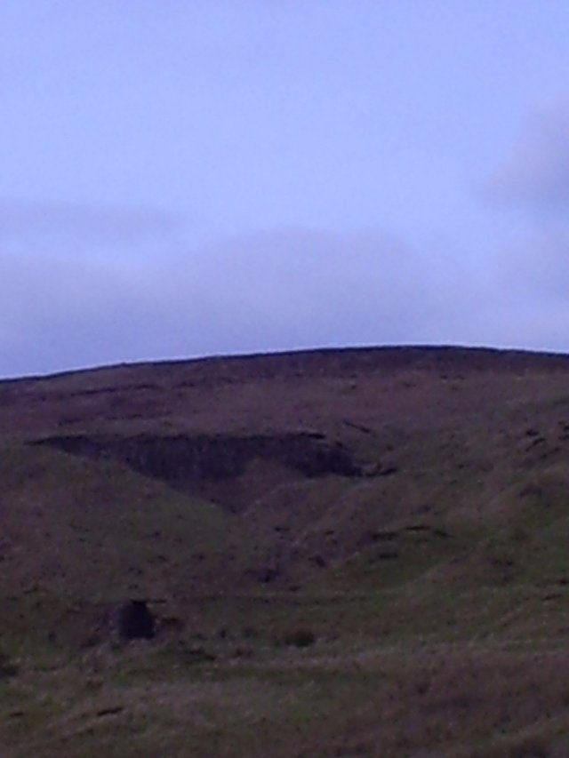
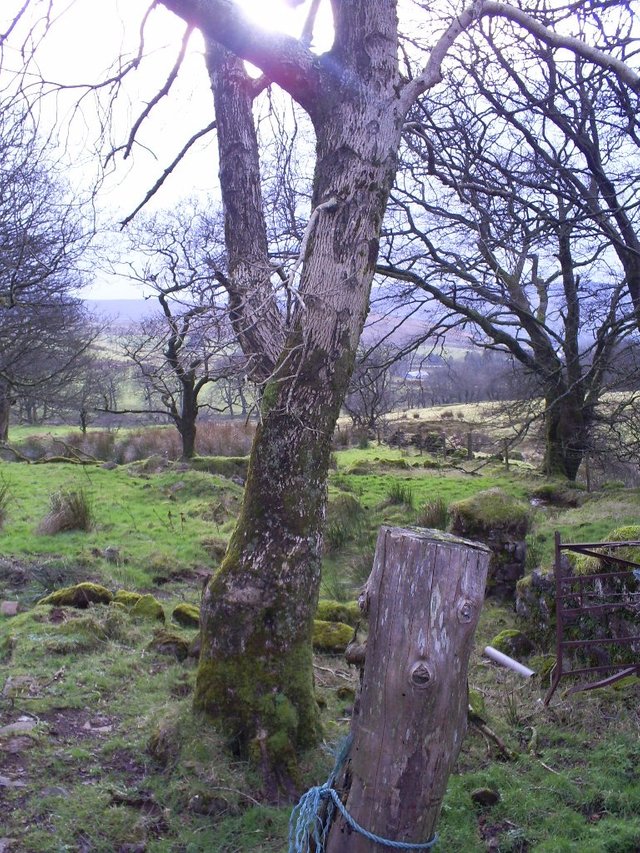
A narrow road across a burn and up towards Tuftaney Hill put the village behind me, and took me on to the windswept Skerry East Road, with views over bogland, forest cover and strange humps and bumps under heather and tufty grass that I finally worked out - noticing the remains of old railways tracks - were long-abandoned spoil heaps from the mines.
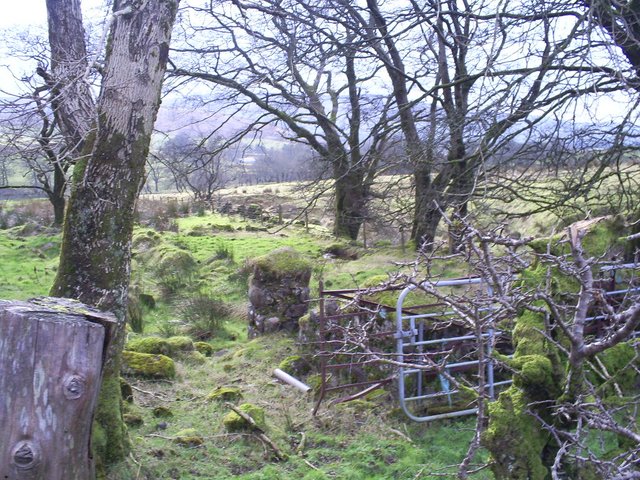
The road runs for about 3km across a pretty barren moorland. Here and there, though, a burn cuts under the roadway and through a farmstead. And one of my detours took me off the road into a relatively new Woodland Trust plantation, where a piece of (deliberately) rusty public sculpture celebrates the area’s mining heritage.
By 1873 there were about 700 men employed directly in the mines and 600 horses were being used in carting away the ore.
According to the Northern Ireland Geological Survey, the region is one of the most complex and varied areas of geology in the world. This diverse geological foundation has resulted in an equally diverse mineral heritage, with mining focussed on the production of iron ore, coal, lead and salt. In the Antrim Glens, a thick layer of reddish lateritised basalt known to geologists as the Interbasaltic Formation (and to locals as ‘rotten rock’) represents the primary source of iron ore and bauxite in Northern Ireland.
The existence of iron in the rocks underlying the bogs of Glenravel had been known in Gaelic times. The name of the hill I was hiking beneath, Slievenanee, is a corruption of the Irish Sliabh an Iarann, iron mountain.)
In 1866 James Fisher began commercial mining by outcrop digging or opencast mining at a place known as the Gullets, on the slopes of Slievenanee, and in the first six months was able to ship 18,000 tons of ore to England worth about £1 per ton.
By 1873 there were about 700 men employed directly in the mines and 600 horses were being used in carting away the ore until Fisher built the first narrow gauge railway in Ireland down to the coast at Red Bay, where horses hauled the wagons to the pier and men shovelled the ore down wooden chutes into waiting ships.
The existence of iron in the rocks underlying the bogs of Glenravel had been known in Gaelic times.
But the 1870s saw the decline and depression of the iron industry and the mining operations in this part of Antrim faltered. Attempts were made to resuscitate the trade in the 1880s (and the production of bauxite continued and some mines went over completely to the mining of bauxite e.g. Tuftarney and Evishnacrow mines, the latter being worked up to 1926) but ultimately the hills returned to agriculture.
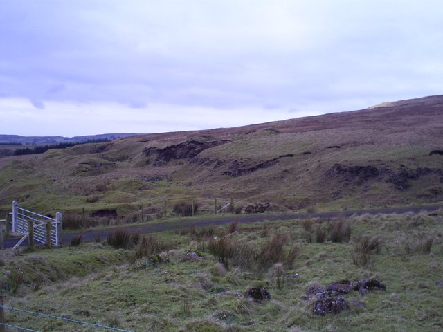
After a while the Dungonnell Way veers off from the road into forestry cover, though the scars of 150-year-ol open cast mining are still visible.
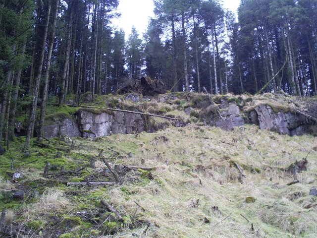
The trail then winds down through the woods and into Glenariff Forest Park, one of the most scenic of Northern Ireland’s landscapes. Skirting the 339m hill Crockahanan, it continues through forestry for a mile or two until it opens out onto the Garron Plateau and the blanket bogland around the Dungonnell reservoir.
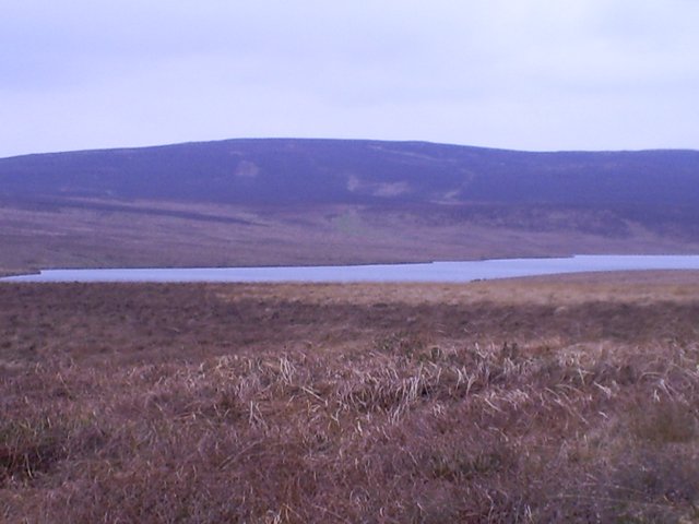
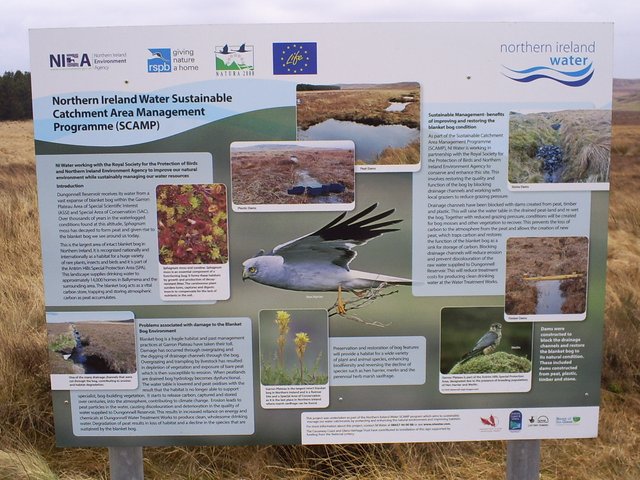
This is an ascetic landscape, windswept and featureless. But a notice explains the conservation work being undertaken to stop drainage and cultivation and bring back species like the hen harrier and merlin.
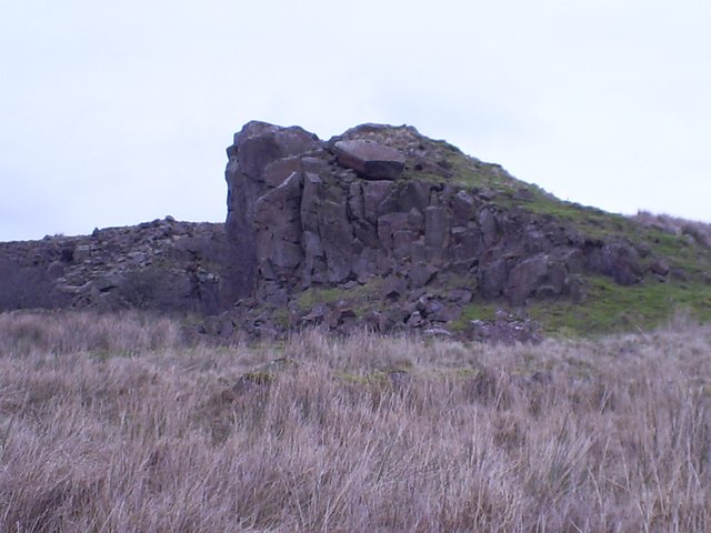
The reservoir lies at the centre of the bog. I stopped for a well-deserved coffee in a horseshoe-shaped rocky outcrop, as out of the wind as anywhere nearby.
From here, the path led back to Cargan, old Fisherstown of the miners and haulers, and the road home.
If you’re interested in finding out more about the mining industry in this part of Ireland, you could check out Antrimhistory.net or look here, and at Wikipedia’s page on the Glenariff Iron Ore and Harbour Company or, for more general and technical detail, visit the Geological Survey of Northern Ireland. I’ve taken most of the article’s information on the history of the local mining industry from those sources.
The Walk NI website is always worth a visit!
Looks like some folks have a different long term goal in mind for the blockchain and YOUR True monetary and post values.
https://steemit.com/abuse/@iloveupvotes/this-is-the-operation-going-on-behind-your-back-and-all-the-people-that-fund-this-theft-ring