New interactive map of Syrian War – November update
BEIRUT, LEBANON (9:30 A.M.) – A new interactive map of the Syrian War has been released by the Islamic World News Agency this week.
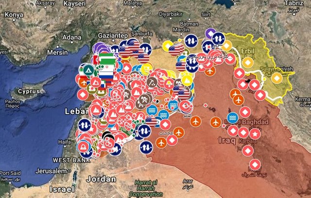
The map shows the updated front-lines in Syria after the Syrian Arab Army (SAA) and their allies liberated the entire Al-Safa volcanic region in the southern part of the country.
In addition to the ground updates, the new interactive map also shows the presence of 17 U.S. military bases that located across northern and eastern Syria.
The U.S military bases are reportedly located in the following areas:
US Army Base – North Manbij
US Army Base – Ayn Dadat
US Army Base – Ushariyah
US Air Base/Army Base – Sabt
US Army Base – Kobani
US Army Base – Kharab Hisaq
US Army Base – Ayn Issa
US Army Base – Tal Tamar
US Air Base/Army Base – Qulayb Mountain
US Air Base/Army Base – Tal Baydar
US Air Base/Army Base – Rmeilan
US Army Base – Shaddadi
US Air Base/Army Base – Tabqa Airport
US Army Base – Omar oilfields
US Army Base – Tanak oilfields
US Army Base – Tanaf
US Army Base – Zaqaf
To see the entire interactive map, please click on this link: Syrian War Map
If you can't view videos or other embedded visuals, click the link below!
Posted from AMN with SteemPress : https://www.almasdarnews.com/article/new-interactive-map-of-syrian-war-november-update/
Follow AMN on Steem to get updates, We follow back :-)