A walk on the wild(life) side
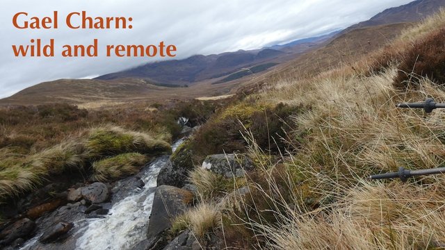
This year has been a tough one, and I've been unable to get away to the hills as much as I'd like. But just over a week ago, I got the opportunity to take a few days' holiday in the Highlands, and luckily the weather was looking pretty good.
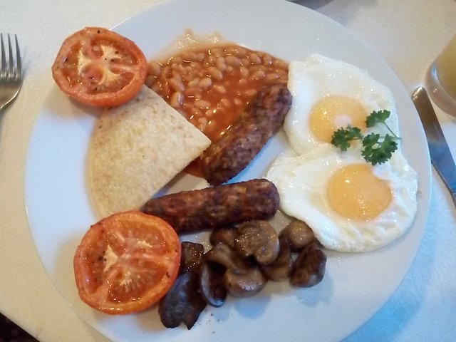
Veggie breakfast at the Onich Hotel.
I booked the Onich Hotel about 10 miles south of Fort William. It's probably the best budget hotel I've ever come across. As it was low season, their kitchen was only open for breakfast, but I had my camping stove with me, so I was happy to cook some meals from my car.
My room was small, but clean, with a very small bath - perfect for a small person who needs a good soak after a day on the hills!
My bedroom overlooked Loch Linnhe, and the view from my bedroom window was magical. The views from the hotel car park were even better.
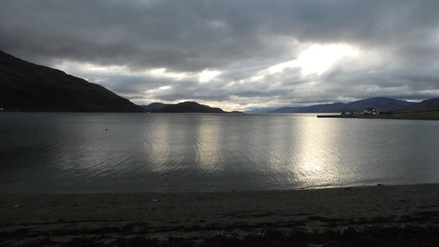
View across Loch Linnhe to the Isle of Mull from the Onich Hotel car park.
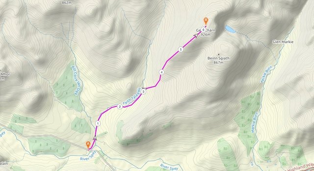
My first day of hillwalking was to a Munro (mountain with an altitude over 3,000 feet) called Gael Charn. There are four Munros called Gael Charn, which means the White Hill – and several other hills also share the name. This Gael Charn is in the range known as the Monadhliath.
I'd climbed her three neighbours to the east – A'Chailleach, Carn Dearg and Carn Sgulain, earlier this year, with my Meetup group, and it was a wet, windy and extremely boggy affair – not one I was desperate to repeat! The Monadhliath Munros are among the least popular Munros, known for their bleakness and bogginess, so I was not expecting a lot from this Gael Charn.
But she had a few surprises in store.
An easy Munro?
I chose this mountain because of the lack of daylight hours at this time of year. With sunset at 3.45pm, and a three-hour drive north from Glasgow, I was looking for an easy Munro that wouldn't take too long to climb. The starting point was at an altitude of 300m, so we only had 625m of ascent, and with paths most of the way.
I had posted the walk on Meetup, with the description "Wild and Boggy". I didn't want anyone to get the impression that this would be a walk in the park! One person, Jill, accompanied me, and I gave her a lift from Glasgow. As I was staying in the area, she took the train back home at the end of the day.
We arrived at Garva Bridge, the remote starting point of the walk, at about 8.45am. Garva Bridge was built by Officer General Wade of the British Army, in the early 18th century, as part of a network of military roads, many of which still survive.
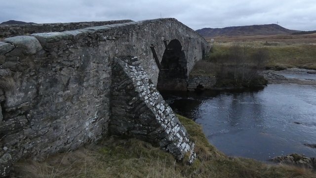
Garva Bridge
It's in a very remote spot, and I initially drove across it without realising that we were at the start of the walk – we had to backtrack about half a mile.
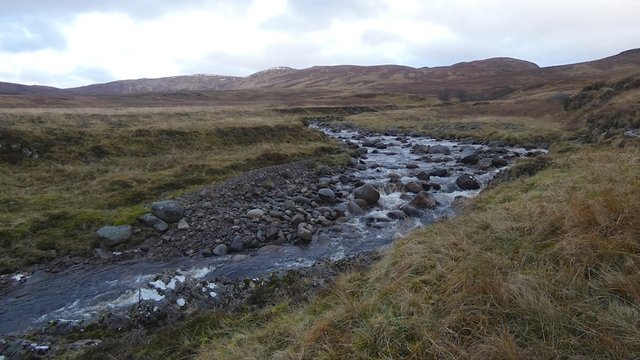
The Feith Talagain River.
It was great to get out of the car after a long drive, and start walking in the fresh country air. The first 3km of this walk are almost flat, alongside this beautiful river, on a great path which does get a bit boggy, but it's easy to make good progress.
After about 40 minutes, our target came into view. It's a very rounded hill, typical of the east and central highlands of Scotland. The western mountains are generally steeper with sharper ridges.
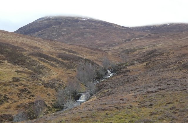
Gael Charn coming into view, her summit shrouded in mist.
At the confluence with another river, the Allt Coire nan Dearcag, the path starts to head uphill. This river has to be crossed at some point, and from then on the path almost disappears.
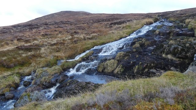
The Allt Coire nan Dearcag in full flow.
We managed to find a crossing point, and headed up over the marshy hillside. This was probably the most tiring part of the walk, and it really wasn't that difficult. We soon reached a distinctive shelter cairn that wasn't on the map, and was probably of relatively recent construction, maybe for deer or grouse shooting.
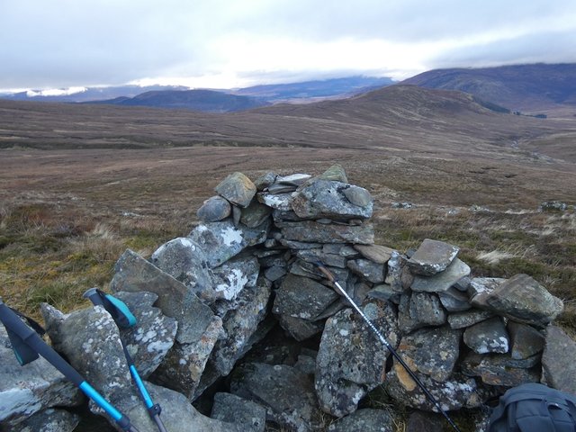
The altitude was about 750m, and the winds were pretty strong, so we didn't linger here. I took a few photos, but the cloudy weather meant that the results were not too spectacular.
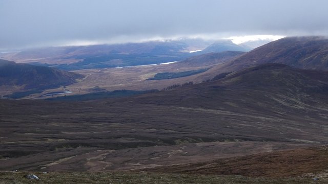
The view down to Loch Laggan, with Binnein Shios visible at the right of centre.
There was one more steepish pull, before we emerged onto a cloudy plateau. After a while we spotted a cairn up ahead...
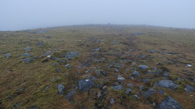
It turned out to be a waymarker cairn, not the summit cairn.
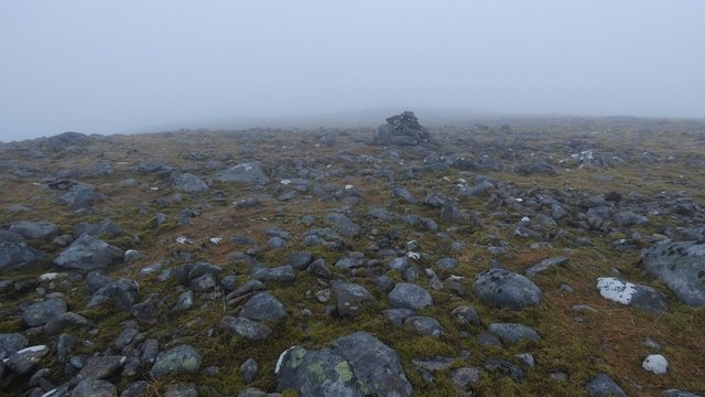
Not-the-summit-cairn.
Our frustration at this was short-lived, as I suddenly spotted a flock of ptarmigan just a couple of metres ahead. They spotted us too, and took flight, but they didn't move too far, and I was able to get a couple of zoomed photos.
Ptarmigans moult in winter and their grey and brown feathers are replaced by white ones – ideal for camouflage in snowy conditions. There had been quite a bit of snow in the previous weeks, but it had thawed, making the ptarmigan extremely visible.
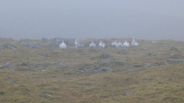
Ptarmigans in their white winter plumage.
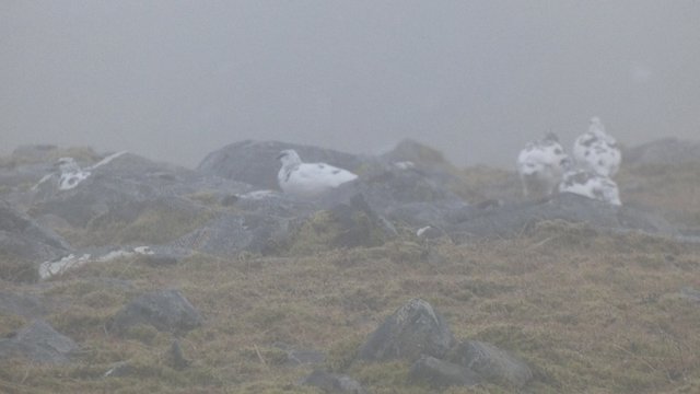
Ptarmigans zoomed even more.
Jill had never seen ptarmigan before, and she was suitably impressed. They are rarely seen at altitudes below 800m, but they are often spotted in the Scottish mountains.
One thing I recently learned from Wikipedia is that the word "ptarmigan" is derived from "tarmachan", which is Gaelic for "croaker". This makes a lot of sense, because ptarmigans make a very distinctive and unappealing croaking sound - surprising for such a lovely bird!
And the word "tarmachan" makes a frequent appearance on Scottish maps - eg, the Tarmachan Ridge. Apparently the silent 'p' was added in 1684 by Robert Sibbald, influenced by Greek.
Summit at last!
We seemed to be walking for ages before the actual summit cairn finally appeared. It was probably about 600m from the start of the summit plateau. We encountered a few mountain hares near the summit, but their speed was so fast that I had no time to even get hold of my camera, never mind take a photo. Mountain hares also turn white in winter, but these hares had only just started to moult, and were still mostly grey.
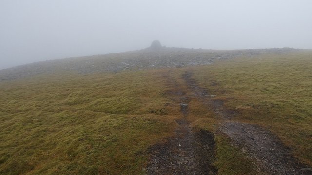
Summit cairn in the mist.
This was Munro no. 142 for me – my first since reaching my Munro-bagging halfway point on the Glen Shiel Ridge in August.
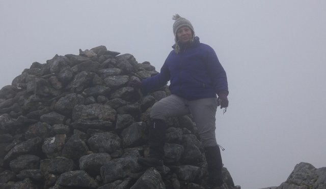
My 142nd Munro.
We were treated to some very brief glimpses of clear views on the way back down from the summit plateau, as breaks momentarily appeared in the clouds. But they were too ephemeral to be photographed.
My friend Jill doesn't like having her photo taken, so I asked her to take one of me walking back down the hill. Despite the murky cloudy weather, it was a really nice walk which we were both thoroughly enjoying. The scenery was lovely, but it was the kind of scenery that can be hard to fully capture on film, with warm colours and rounded edges rather than dramatic rocky crags.
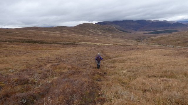
Me walking back down the hill.
By lunchtime, we were already back at the the Allt Coire nan Dearcag river, which seemed the perfect lunch spot.
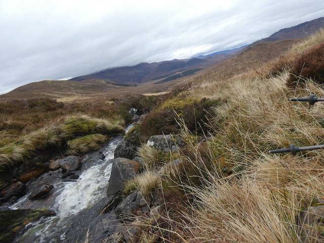
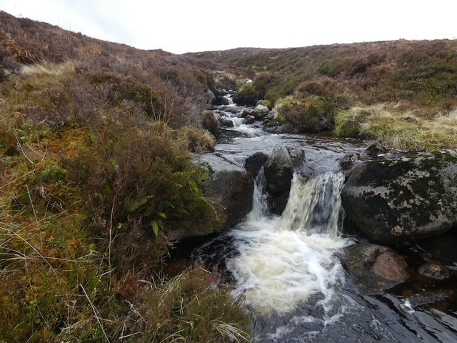
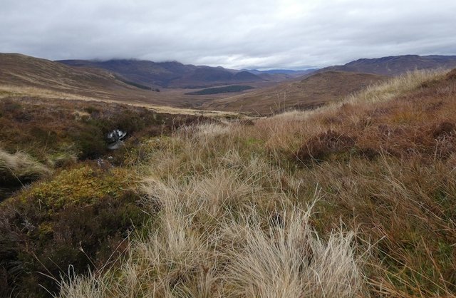
After lunch, we retraced our steps along the slightly boggy path that led back to the car. On the way back, we came across some distinguished local residents.
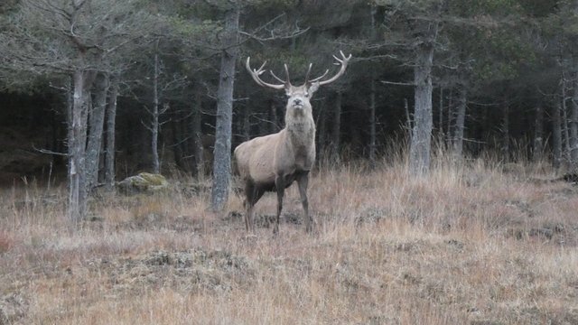
Monarch of the Glen.
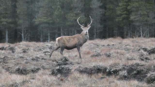
Monarch-in-waiting.
Both of us felt that Gael Charn was quite a special little hill – not dramatic in a breathtaking way, but a very enjoyable hill to climb, with some interesting wildlife.
Posted from my blog with SteemPress : http://ramblingandscrambling.co.uk/mountains/a-walk-on-the-wildlife-side/
[//]:# (!steemitworldmap 57.060863 lat -4.373695 long Gael Charn: A walk on the wild(life) side! d3scr)
Whoa what awesome wildlife and beautiful views @natubat! :-)
I so enjoy your postings, wonderful writing, mountains, rocks and boulders!
We also have Ptarmigans here in Alaska. Looks like another world at
the top, all the stones, mosses and mists!
Thanks @shasta! I'm really glad you enjoy my posts. I would love to visit Alaska.
You have been curated by @hafizullah on behalf of Inner Blocks: a community encouraging first hand content, with each individual living their best life, and being responsible for their own well being. #innerblocks Check it out at @innerblocks for the latest information and community updates, or to show your support via delegation.
Its always good to explore more of your adventures.
This post has been appreciated and featured in daily quality content rewards. Keep up the good work.
Congratulations, Your Post Has Been Added To The Steemit Worldmap!
Author link: http://steemitworldmap.com?author=natubat
Post link: http://steemitworldmap.com?post=awalkonthewildlifeside-pjs0mjhi7j
Want to have your post on the map too?
Hi @natubat, your post has been upvoted by @bdcommunity courtesy of @hafizullah!
Support us by setting us as your witness proxy or delegating STEEM POWER.
JOIN US ON
Hiya, @LivingUKTaiwan here, just swinging by to let you know that this post made into our Top 3 in Daily Travel Digest #707.
Your post has been manually curated by the @steemitworldmap team and got an upvote from @blocktrades to support your work. If you like what we're doing, please drop by to check out all the rest of today's great posts and consider supporting us so we can keep the project going!
Become part of the Haveyoubeenhere community:
Wishing you a very happy New Year 2020.
Your walks are all very impressive!!
Fort Williams does bring back very fond memory of my trip to Skye! Those were the good old days!
Cheers.
Congratulations @natubat! You have completed the following achievement on the Steem blockchain and have been rewarded with new badge(s) :
You can view your badges on your Steem Board and compare to others on the Steem Ranking
If you no longer want to receive notifications, reply to this comment with the word
STOPVote for @Steemitboard as a witness to get one more award and increased upvotes!