What if I were to tell you that every map you've probably ever seen of the United States is wrong?
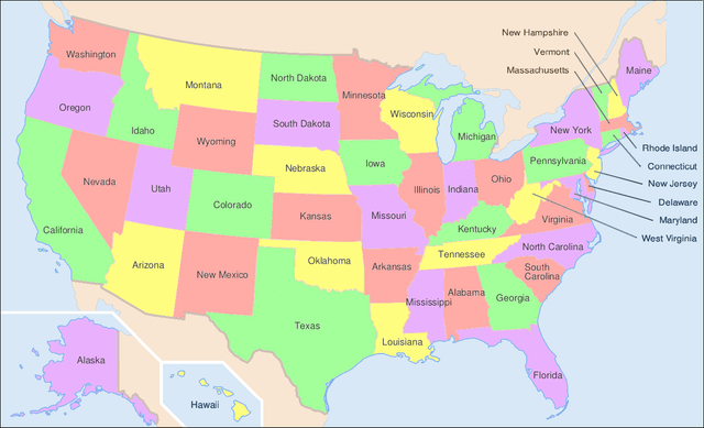
If you look at a map at the United Sites, specifically down south, Louisiana looks sort of like a boot. Go ahead Google it. Every map looks the same ... each showing Louisiana the same way.
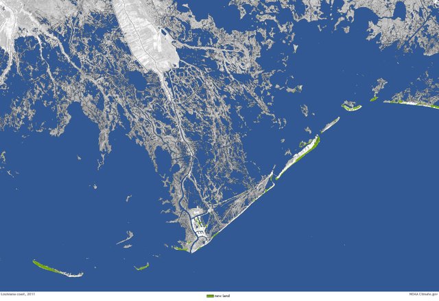
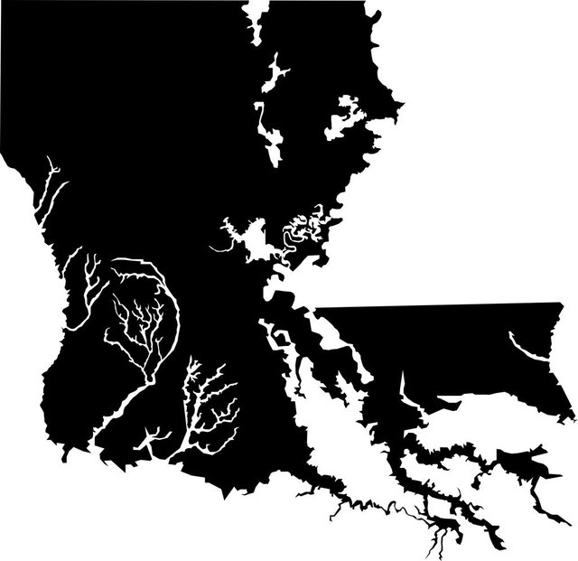
The problem is, that isn't what the state actually looks like. It's more like this ....
The Louisiana coastline is constantly changing. According to a US geological survey, between 1932 to 2010, it lost nearly 1,900 square miles of coastline. That's about the size of the entire state of Delaware!
At this rate, Louisana will lose another 1,750 square miles by 2064 due to coastline erosion.
This threatens the entire nation's economy as southern Louisana has a vital industry port. But even more important is the fact that 1/3 of America's oil and natural gas is either produced or transported there.
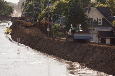
Part of the problem is the removal of oil and gas, which is making the state sinking so fast. The rise in sea levels and hurricanes also aren't helping.
Then we have the problem with man-made levees and dikes. Normally rivers deposit silt to replace lost soil from natural erosion. But levees and dikes starve the coastline of these deposits that might otherwise help to keep the land elevated.
Louisiana is losing more coastal wetlands each year that all 48 contiguous states combined.
Restoration programs are underway to restore some of the lost lands but in the meantime, Louisana continues to sink.