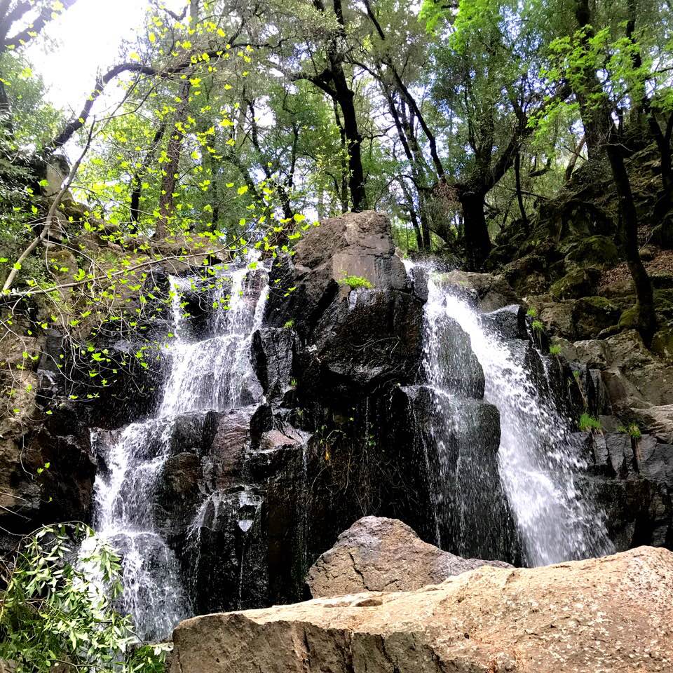
Linda Falls
If you're up near the Yountville area in California, hike at Linda Falls. It is a little challenging finding it because you have to walk a bike trail to get there. The bike trail is near a ball park and elementary school. The hike is about 1/2 a mile. There is a climb on the way back. Wear hiking shoes because it is a little slippery. It's worth going to if you are already in the area. There are signs on the bike trail marking where to go.
 )
)

Nice. I'm coming to California in the late summer to hike the John Muir Trail. Hopefully, I'll see some nice waterfalls then!
Are there any swimming holes on this Linda Falls hike? Do you happen to have the GPS coordinates to help people find it?
Keep up the great outdoor adventure posts.
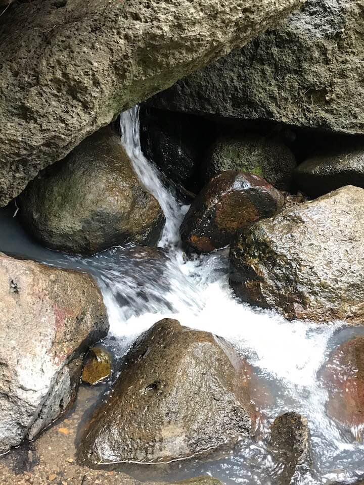
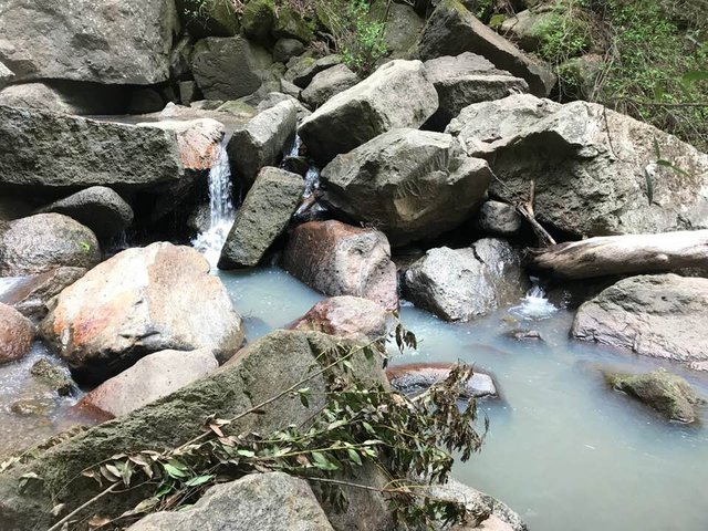
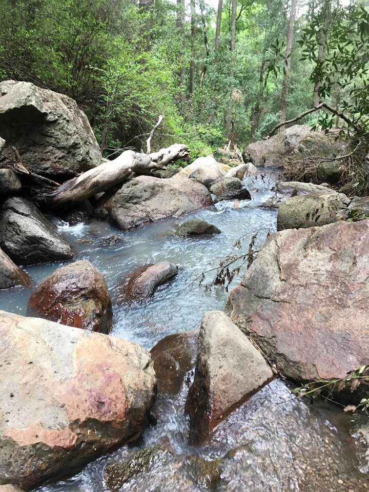
I hope you have a great time in California! Linda Falls is a very small waterfall but it's pretty and a short hike to get to (about 1/2 a mile). Wear hiking boots because it is a little slippery. You can dip your feet in the creek by the falls but there is no swimming hole that I am aware of. To get there, drive down Howell Mountain Road towards Angwin Acorn Indian Grinding Rock. Once you pass Linda Falls Terrace Road, you will pass Falls Road (which loops around). Keep heading on Howell Road for about 1/4 to 1/2 a mile (I'm not sure of the distance). To the right, look for a small sign for a bike trail. To the left, look for a Conn Creek sign. The bike path to the right is what you will hike to get to the falls. Conn Creek intersects Howell Mountain Road and the bike trail. If you see a ball park to the left or school to the right, you've gone slightly too far. You can park there and hike to the bike trail. The creek flows under the bike trail. You can hear the creek from the road. Take the bike trail and walk to the right, crossing over the creek. A short hike later, to the left of the bike trail, you will see a sign for Linda Falls. The trail is behind the sign. Go down the trail until you reach another sign. The sign will tell you to go to the right. Go to the right until you reach the falls. It is pretty there but very small. Sorry, I don't know the coordinates. You can ask the locals where the bike trail is to the falls if you get there and are confused. Just remember that Conn Creek will be to the left and the bike trail will be on the right. They intersect and that's the bike trail you want to take.
Transfer 0.001 SBD or 0.001 STEEM to @a-0-0 to have your last blog post resteemed to over 33,700 followers. Leave Memo empty.
Get Free Upvotes on daily basis! http://ity.im/AFAVQ