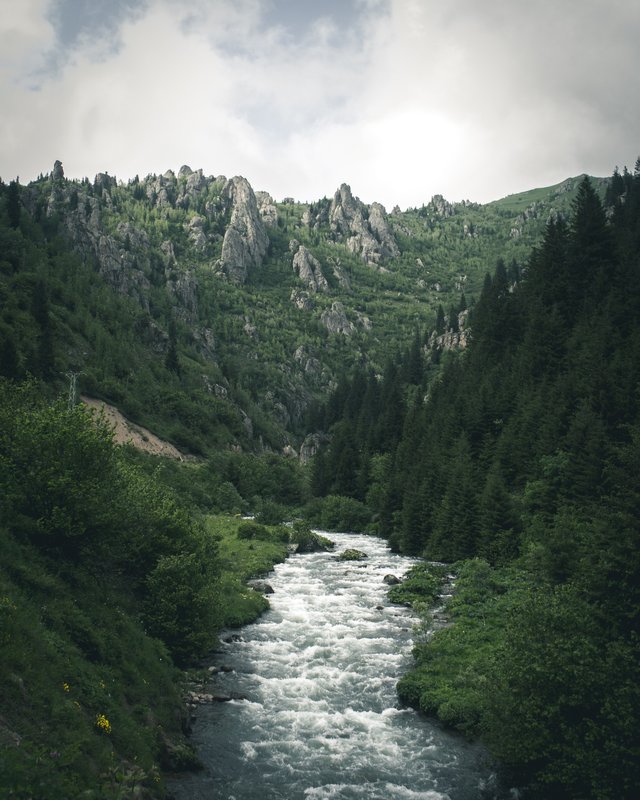
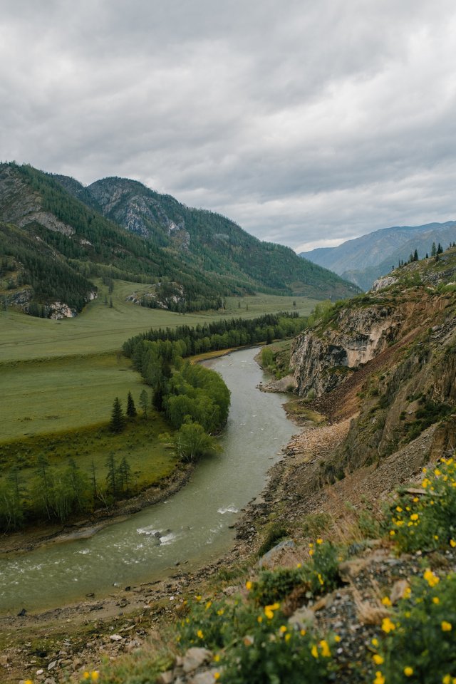
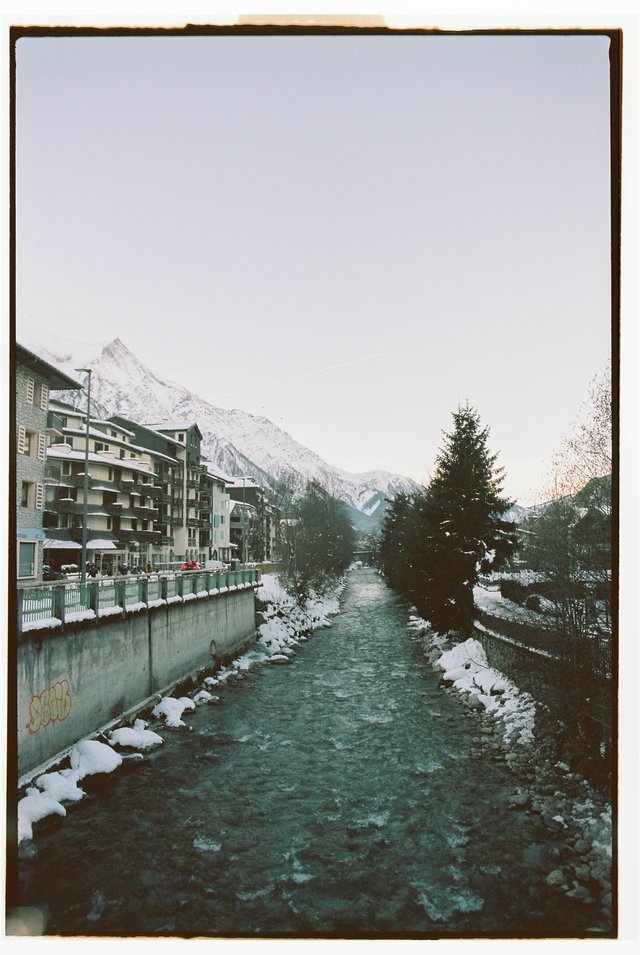
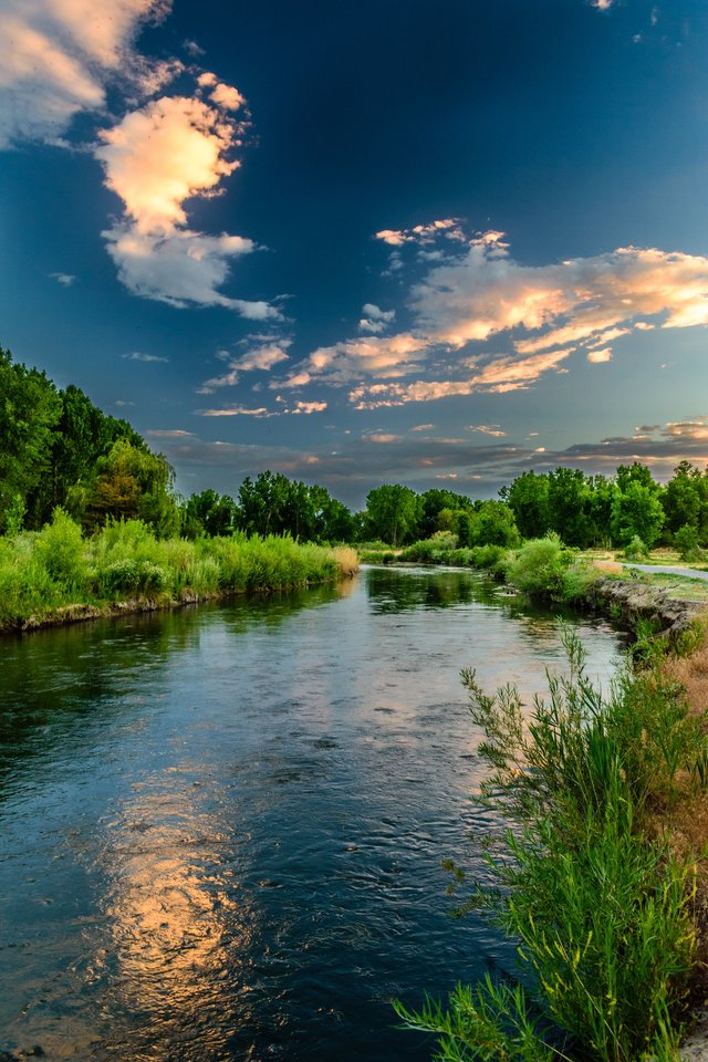
The water of the springs and gorges merges into rivers and then into the sea. By @sumon03
"Bismillahir Rahmanir Rahim"
As the flow rate decreases, the river makes several bends and flows in an irregular spiral pattern. At some point, the river-bed breaks out of the meandering course, and the river flows in a new straight course, and erosion forms a lake in the shape of a horseshoe as erosion forms two faces of the river's spiral bend. Nearby the shape of the rocks and sediments that the river carries depends on its speed. Some of the load or material transported by the river is stored in the river bed or on both banks of the river bed when the flow of the river is interrupted by changes in slope, the confluence of the river with water (such as a lake, sea, or ocean), or if the river flows on two banks.
Thus, the accumulation of rivers creates landforms, including deltas, floodplains, alluvium, and alluvial fans and cones.
According to the stage of maturity, rivers are generally divided into three groups: "young," "mature," and "old." The river is known for its steep-sided valleys, steep slopes, and uneven bottom when it is young.
Wide river valleys, wide river banks, frontal erosion by tributaries, and smooth river beds are examples of landforms found in rising or mature rivers.
As the river ages, it flows over a wide flat area and reaches the base level. Most of the rivers in Bangladesh have reached the end of their useful lives and have emptied into the Bay of Bengal. Due to the accessibility of the rivers for transportation and the superior agricultural potential of the alluvium, significant civilizations developed in the river valleys. Navigable rivers are very important in trade. Almost all major cities, towns, and commercial centers of Bangladesh are built on the banks of various rivers.
For example, the city of Dhaka was built on the banks of the Buriganga River, while the center and port of Narayanganj City was built on the banks of the Shitalakshya River, Chittagong on the banks of the Karnaphuli River and Mymensingh on the old Brahmaputra River. Rivers that have the right flow volume, velocity, and low level can provide hydropower.
Karnaphuli River has been dammed at Kaptai to generate hydroelectricity. There is no other hydroelectric power generation facility in Bangladesh. The rivers of Bangladesh are proud of them.
Here, with about 700 rivers and tributaries, one of the largest river systems in the world has developed. About 24,140 km of rivers flow in Bangladesh. Bangladesh's extensive river system is made up of beautiful rivers and their tributaries, as well as small mountain ranges, turbulent seasonal currents, and murky canals. A river network has indeed developed at several places, including Patuakhali, Barisal, and the Sundarbans, where the river course is particularly high.
The rivers of Bangladesh are, by nature, not spread evenly throughout the country.
Both the volume and magnitude of the rivers are gradually increasing from the northwestern region to the south-eastern region of the country. In terms of river system, the rivers of Bangladesh can be divided into four primary river systems or river systems: 1) Brahmaputra-Yamuna river system, Ganges and Padma river system of Chittagong region, Surma-Meghna river system and three. Among the rivers that flow through Bangladesh, the Brahmaputra and the Ganges are the 22nd and 30th longest rivers in the world, respectively. It is very challenging to make a complete list of all the rivers of Bangladesh. There is no specific policy for naming rivers in this country. The same river is often referred to by different names in different places. Even a stretch of river only five or six kilometers long has a different name than that further upstream. Often, it is impossible to trace the original source of a river's new name. Once again, the same name applies to many


