The Qinghai Tibet Plateau
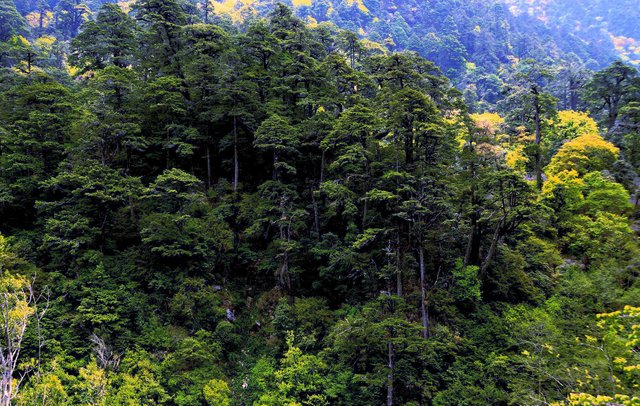
The Qinghai Tibet Plateau is densely covered with mountains and rivers, the terrain is precipitous and changeable, and the terrain is complex
Geomorphic map of Qinghai Tibet Plateau
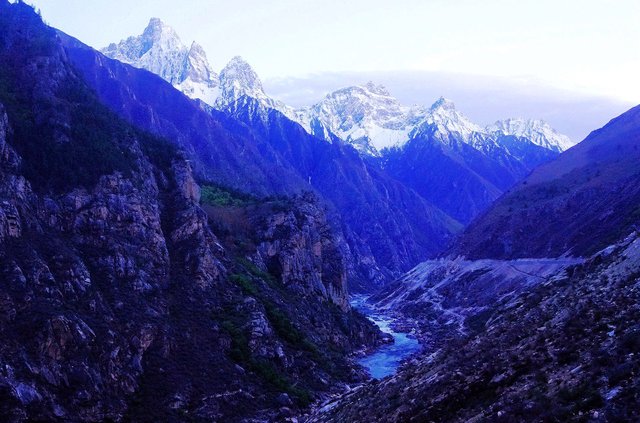
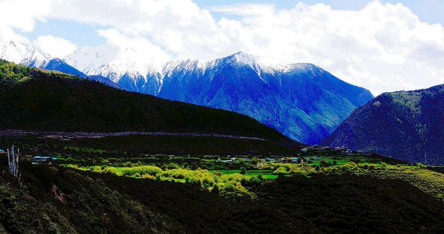
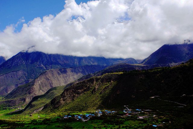
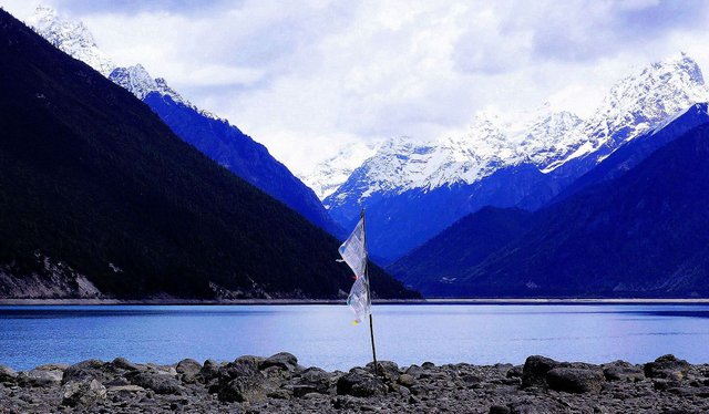
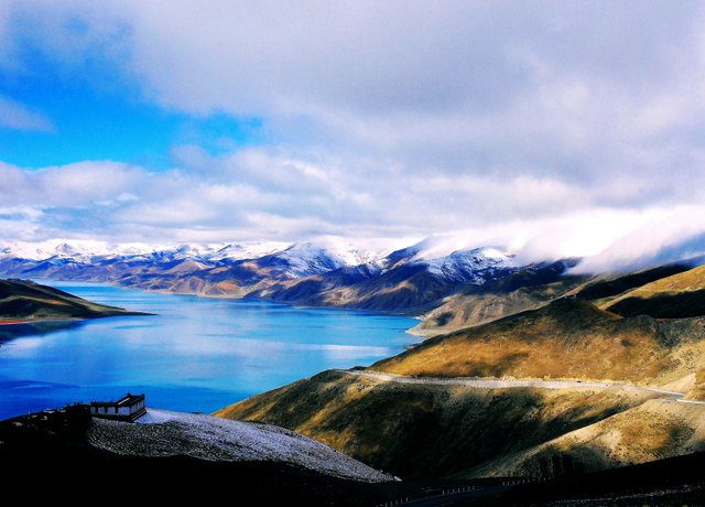
Far beyond the same latitude surrounding areas. The high mountains of the Qinghai Tibet Plateau are uneven and have a great drop. The areas with an altitude of more than 4000 meters account for 60.93% of the total area of Qinghai Province and 86.1% of the total area of Tibet. In the region, there are the world's highest peak, Mount Qomolangma (8844.43 meters), and the Jinsha River, which is only 1503 meters above sea level. The average altitude of the Himalayas is about 6000 meters, while the Yarlung Zangbo River valley plain is only 3000 meters. Generally speaking, the topography of the Qinghai Tibet Plateau is high in the West and low in the East. Compared with the undulation of the edge of the plateau, there is a lower undulation area in the inner part of the plateau.
The Qinghai Tibet Plateau is a huge mountain system, which is composed of mountain system and plateau surface. Due to the influence of gravity and external gravity during the formation of the plateau, the plateau surface has undergone varying degrees of deformation, which makes the terrain of the whole plateau incline from northwest to Southeast. The edge of the plateau is strongly cut to form a low altitude area of the Qinghai Tibet Plateau, with mountains, valleys and rivers alternating, and the terrain is broken.
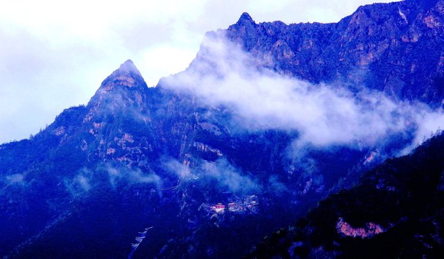
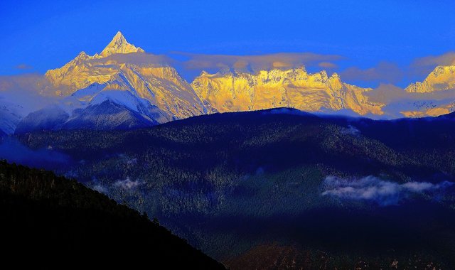
There is a huge series of mountain ranges in the marginal area of the Qinghai Tibet Plateau, which can be divided into east-west and North-South directions according to the strike. The East-West mountains occupy most of the Qinghai Tibet Plateau and are the main mountain types (divided by strike); the North-South mountains are mainly distributed in the southeast of the plateau and near Hengduan Mountain areas.
These two groups of mountains constitute the geomorphic framework and control the basic pattern of the plateau landform. The average altitude of the northeast mountain ranges is generally high, except for the altitude of the Qilian mountain peak, which is 4500m-5500 M In addition, the altitude of Kunlun Mountain, Bayan Kara mountain and karakunlun mountain is above 6000 meters. Many times the first-class mountains are mixed with each other.
There are parallel Canyon landforms between the two groups of mountains, as well as a wide range of wide valleys, basins and lakes.
The Qinghai Tibet Plateau is the largest and widest permafrost region in the world, accounting for 70% of China's frozen soil area. Among them, the permafrost region from southern Qinghai to northern Tibet is the most widely distributed, accounting for 57.1% of the total area of the Qinghai Tibet Plateau.
The Qinghai Tibet Plateau is the largest and widest permafrost region in the world, accounting for 70% of China's frozen soil area. Among them, the permafrost region from southern Qinghai to northern Tibet is the most widely distributed, accounting for 57.1% of the total area of the Qinghai Tibet Plateau.
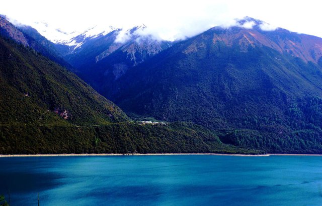
The distribution of rivers in the Tibetan Plateau is mainly affected by climate and topography. In addition to the rich precipitation in the southeast, the rivers in the inland areas mainly rely on the melting of glaciers or snow. In the region, Qilian Mountains Bayan Kala mountains, niangqingtanggula mountains and Gangdise mountains are the boundary lines of internal and external water systems. The boundary between the internal and external water systems divides the rivers in the Qinghai Tibet Plateau into two parts: outflow area and internal flow area. The outflow areas are mainly located in the eastern and southeastern parts of the plateau,
such as the Yellow River and the Yangtze River flowing into the Pacific Ocean, and the southwest water systems flowing into the Indian Ocean, such as the Yarlung Zangbo River and Nujiang River. Most of the internal water systems are located in the northwest of the plateau, mainly referring to the Qiangtang plateau, Qaidam Basin and some small closed lake basins. Most of the river water from inland rivers will flow into these depressions and form a large number of saltwater lakes.
Due to the blocking of high mountains, warm and humid air is difficult to reach, and precipitation is rare; and sufficient sunshine makes evaporation relatively large, so the runoff of most inland rivers is small and the flow is short; most of the inland rivers are supplied by ice and snow melt water, so the seasonal changes are obvious. Summer is the flood season, winter is generally frozen, and the flow is often cut off It means that there are many intermittent rivers;
Me encanto la primera fotografía ... se ven geniales esas tonalidades de azules en esas montañas 😍