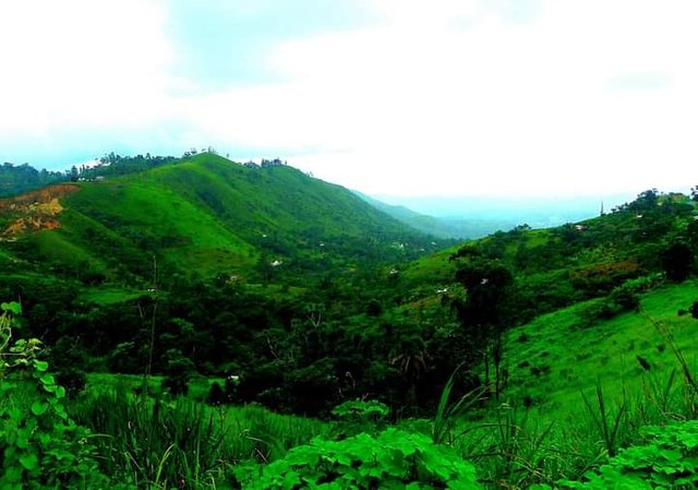
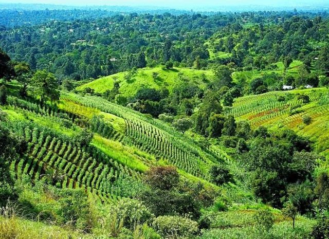
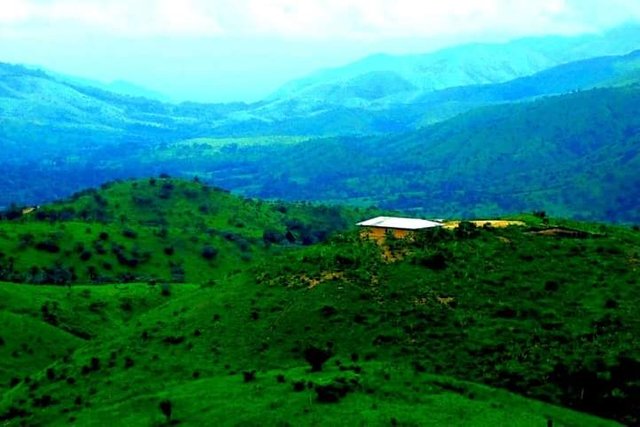
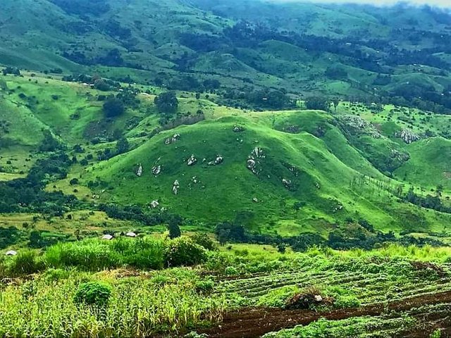
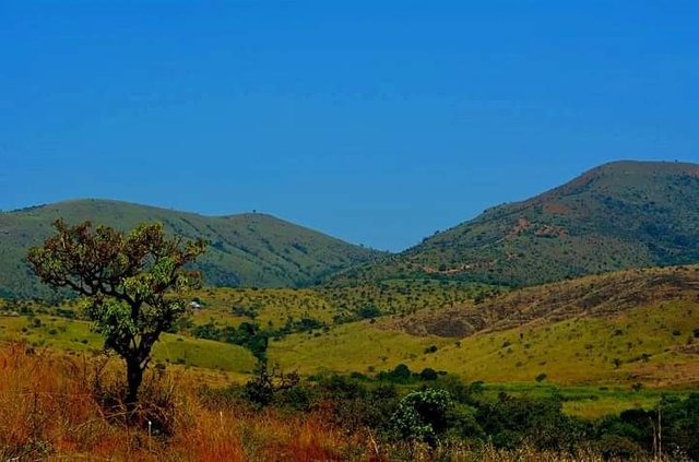
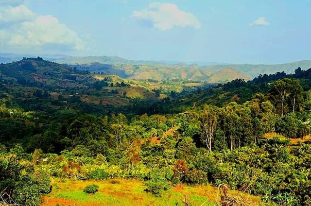
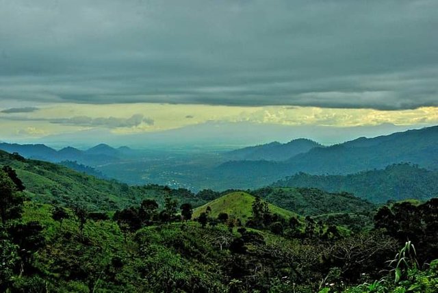
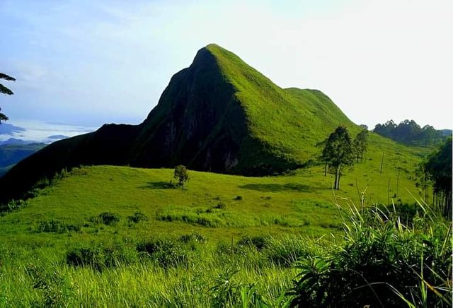
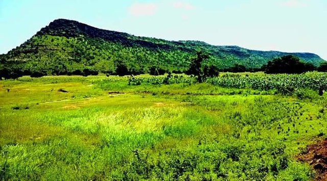
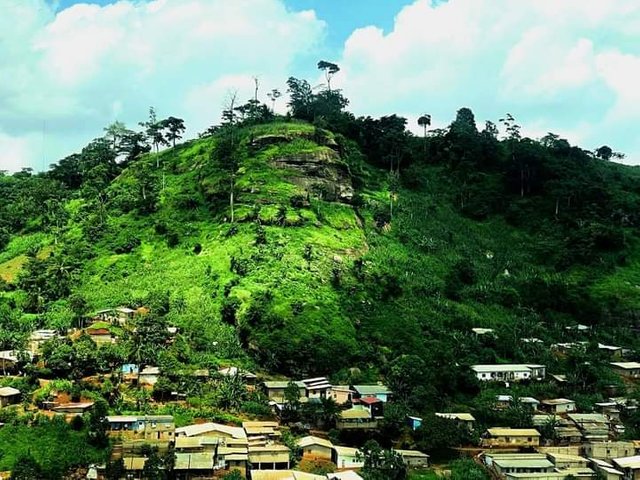
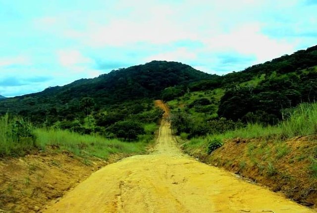
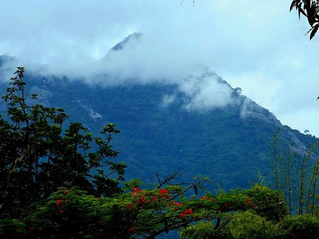
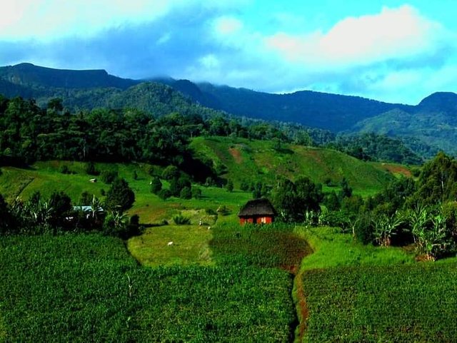
THE MOUNTAIN LANDSCAPES OF CAMEROON… WHAT A WONDERFUL !!!!
Cameroon is divided into ten regions: Adamawa, Center, East, Far North, Coast, West, North, North-West, South, and South-West. The landscapes are different and varied: mountains, tropical forest, savannah, plateaus, almost desert areas, marshy areas; you will realize over the course of the discovery of these images that Cameroon has not usurped its nickname of Africa in miniature. This publication, the start of a series, highlights the fabulous mountainous landscapes of Cameroon
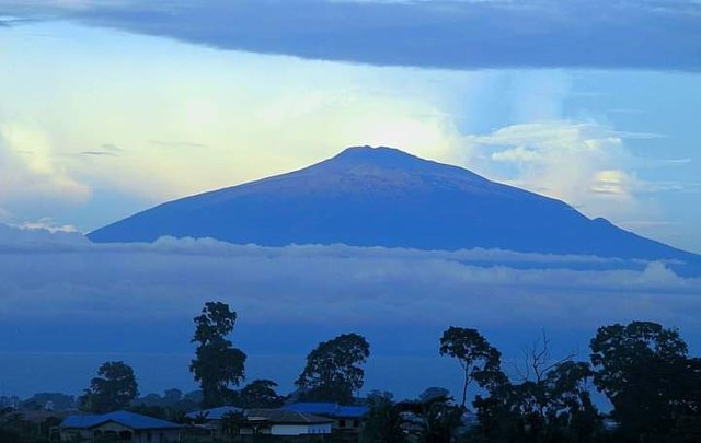
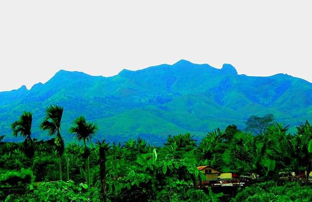
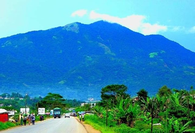
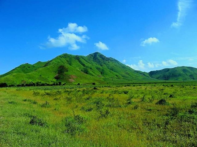
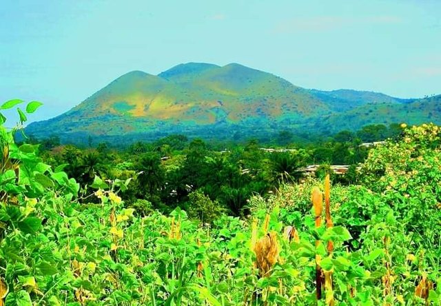
- MOUNT CAMEROON
Mount Cameroon is an active volcano in the South West region of Cameroon next to the city of Buea near the Gulf of Guinea. Mount Cameroon is also known as Cameroon Mountain or Fako (the name of the higher of its two peaks) or by its indigenous name Mongo ma Ndemi ("Mountain of Greatness"). It is the highest point in sub-Saharan western and central Africa, the fourth-most prominent peak in Africa, and the 31st-most prominent in the world. Mount Cameroon is one of Africa's largest volcanoes, rising to 4,040 meters (13,255 ft) above the coast of West Cameroon. It rises from the coast through tropical rainforest to a bare summit, which is cold, windy, and occasionally dusted with snow.
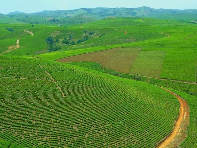
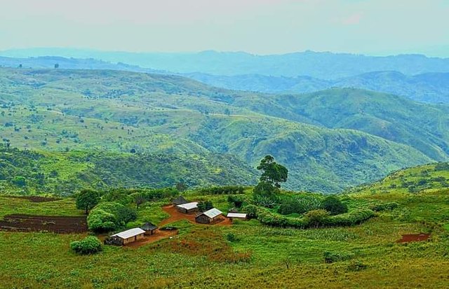
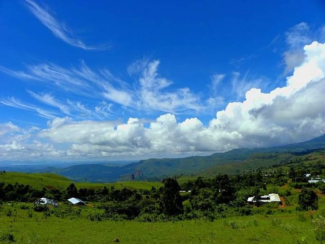
- ADAMAOUA PLATEAU
The Adamawa (also written Adamawa) is a mountain range in West Africa that stretches from southeast Nigeria through north-central Cameroon (Adamawa region and northern region) to to the Central African Republic. The Adamaoua plateau is the source of many rivers including the Bénoué and the Sanaga.
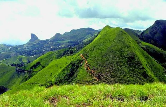
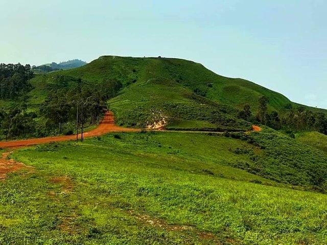
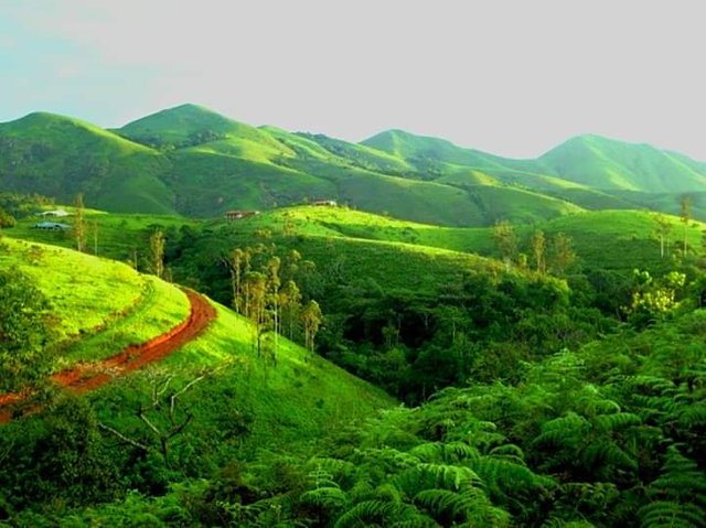
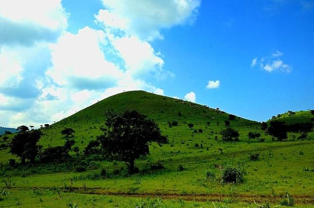
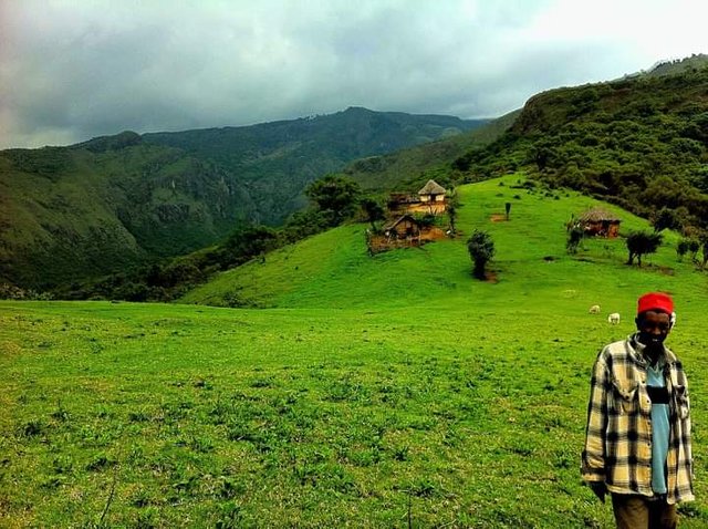
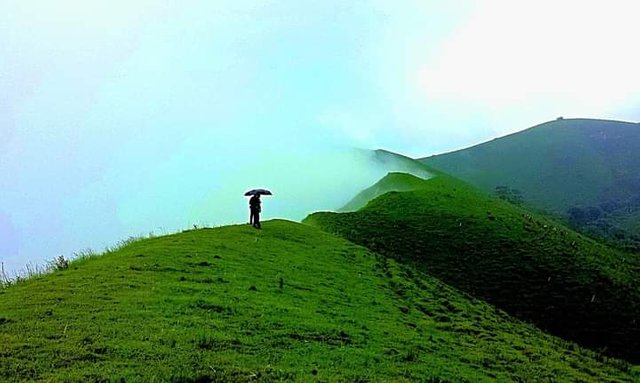
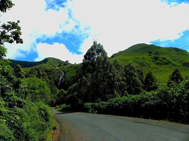
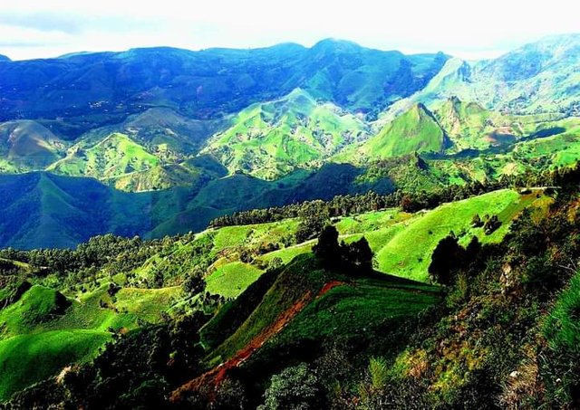
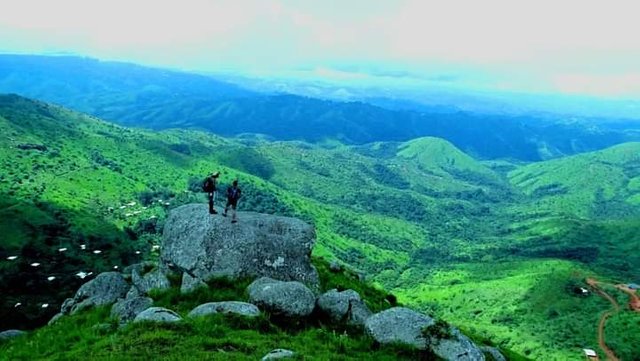
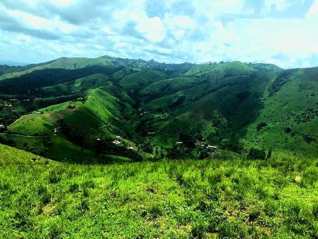
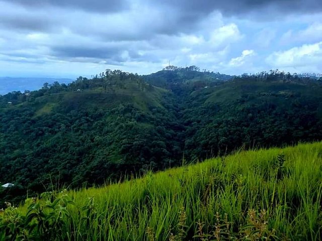
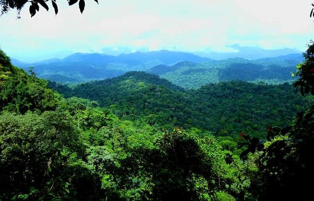
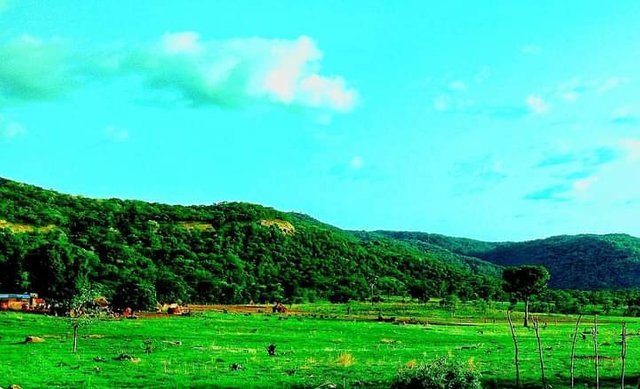
- LEBIALEM HIGHLANDS
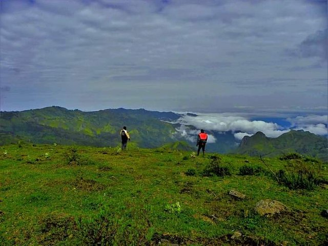
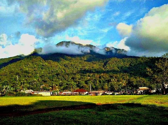
The Lebialem Highlands, and in general, the western region of Cameroon, are vast mountainous forest areas, considered as priority conservation sites. this situation is explained by the multiplicity of landscapes from humid dense forests to savannah vegetation. However, there are global threats to wildlife such as climate change, poaching, and destruction of forests for cropland requirements, which contributes to a decrease in this natural vegetation.
- ATLANTIKA MOUNTAINS
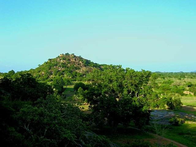
The Atlantika Mountains are a mountain range on the Cameroon line located on the border between Cameroon and Nigeria. They are located southwest of the Mandara Mountains. Jules Verne describes the massif thus in his work Five Weeks in a Balloon: "The vast summits of the Atlantika Mountains passed over the horizon, mountains that no European foot has yet trodden, and whose altitude is estimated at thirteen hundred. fathoms approximately. Their western slope determines the flow of all the waters of this part of Africa towards the ocean; these are the mountains of the Moon in this region ”.
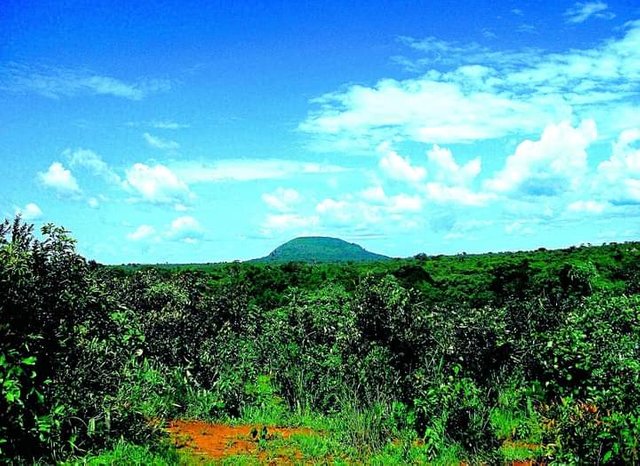
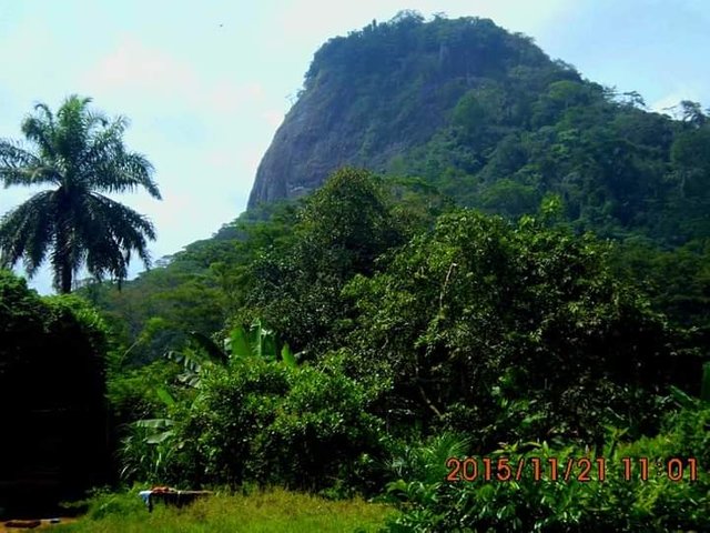
- MONT MBAPIT
Mount Mbapit is a volcano in Cameroon which rises to nearly 2,000 m in altitude in the West region, in Bamoun country, between Foumbot and Foumban. Its crater lake is a must-see tourist destination.
- MOUNT NGAN-HAN-HA
Mont Ngan-Ha is located in the Adamaoua region, about 60 km from Ngaoundéré. It rises to more than 1,900 m altitudes and is distinguished by its many peaks. The Mount has many caves that served as a refuge for the Mboum people during the colonial period. It is a site that is home to many protected species, streams, waterfalls, trails, and sumptuous landscapes. If you wish to hike there, experienced guides are available to accompany you.
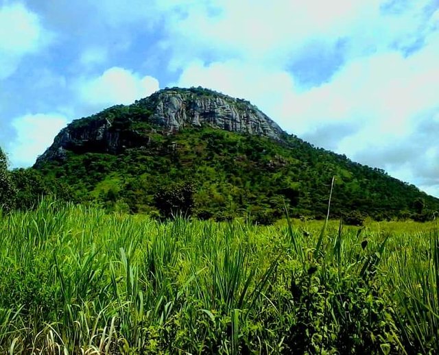
- MOUNT KOGHAM.
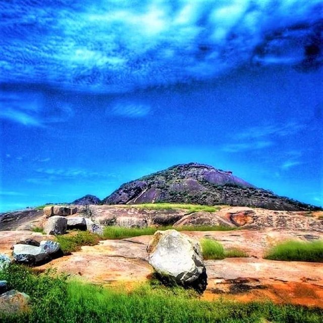
The mountain is located between the districts of Kouoptamo (to the south) and Bangourain (to the north). Mount Kogham is one of the three great volcanic massifs of the Noun department, its summit rises to 2265 meters above sea level
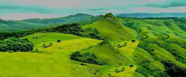
- MOUNT BATCHA / BATCHINGOU
Mount Batcha / Batchingou is a volcano in Cameroon culminating at 2,097 m above sea level, making it the 16th highest peak in the country1. It is part of the Cameroon line. It is located in the villages Batcha and Batchingou, in western Cameroon.
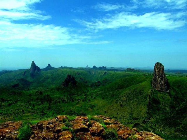
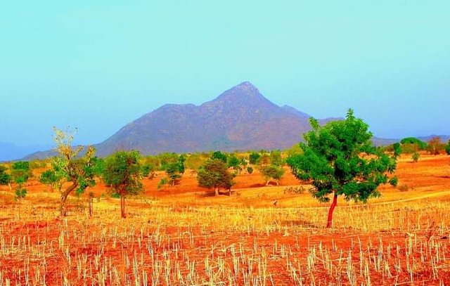
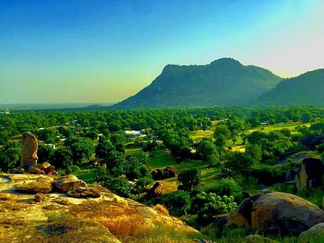
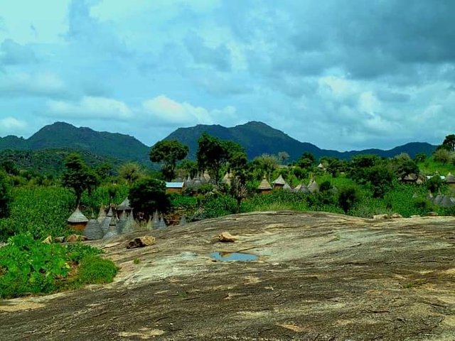
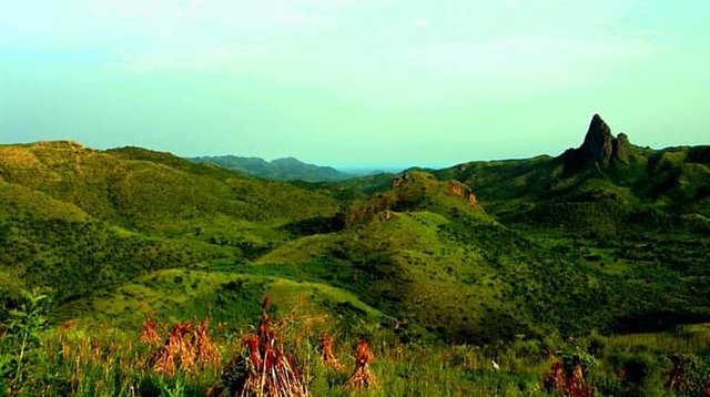
- MANDARA MOUNTAINS
The Mandara Mountains are a volcanic mountain range located on the border between Cameroon and Nigeria. Their highest point is Mount Ouray with an altitude of 1,494 meters. The Mandara Mountains are oriented north-northeast/south-southwest and extend over 150 km in length and 70 in width.
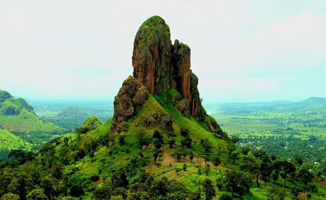
The rugged areas form clusters between plateaus and plains, their width not exceeding 10 kilometers. North of Mokolo is the highest points: Oupay (1492 m) and Ziver (1412 m). In the center, in Kapsiki country, the altitudes of the peaks vary between 1250 and 1300 m. The Ouroum peak, at an altitude of 1,257 m, south of Doumo, is the highest point in the south.
Rhumsiki is one of the most touristic places in North Cameroon. The spectacular effect is created by volcanic uplifts (remains of dormant volcanoes), basalt outcrops, and the Mandara Mountains. The largest (and the most photographed…) of these rocks is the Kapsiki peak, culminating at 1224 m.
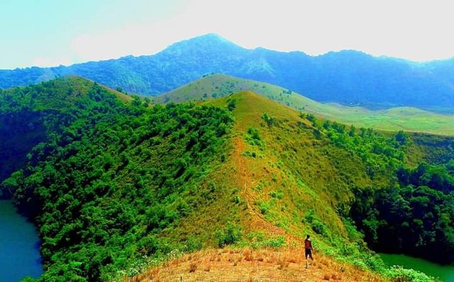
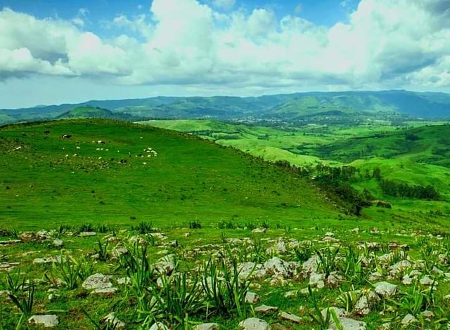
- BAMBOUTOS MOUNTAINS
The Bamboutos Mountains are a group of volcanoes based on a wave of the volcanic line of Cameroon. With 2,740 m, Mount Bamboutos is the third highest peak in Cameroon after Mount Cameroon and Mount Oku. The Bamboutos mountains are located on the western plateau of Cameroon, merging in the north with the volcanic field of Mount Oku.
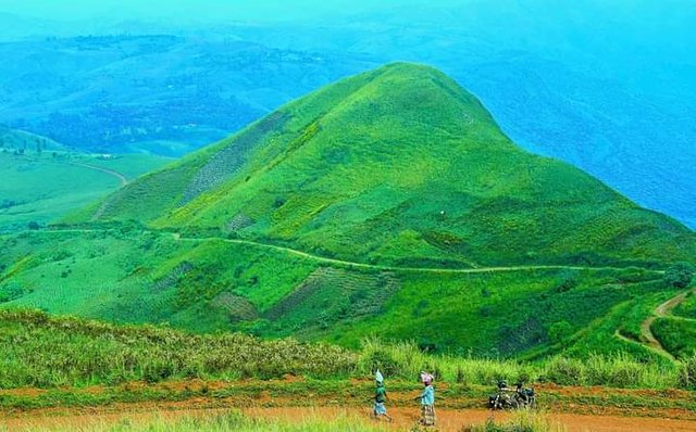
This large volcanic complex stretches from northeast to southwest for about 50 km. Its highest point reaches 2,679 meters on the edge of a caldera 10 km in diameter. Lava is estimated to date from 6 to 23 million years ago.
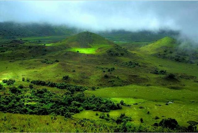
- MOUNT OKU
Mount Oku, or Kilum Mountain, is the largest volcano in the Oku Massif, in the Cameroon Volcanic Line, located in the Oku region of the Western High Plateau of Cameroon. It is the second-highest mountain in mainland Central Africa. The stratovolcano rises to 3,011 meters (9,879 ft) above sea level and is cut by a large caldera. Some of the rocks have ages starting from 24.9 to 22.1 million years ago, but much more recent activity has occurred. The mountain is built of basaltic and hawaiitic lavas, succeeded by trachytes, and then by large volumes of trachytic and rhyolitic ignimbrites with a thickness of up to 1,000 m.
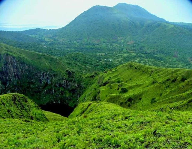
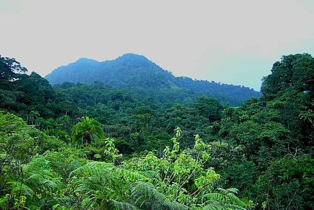
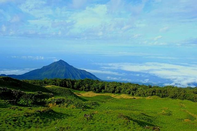
- MOUNT MANENGOUBA
Mount Manengouba is a volcano in Cameroon located in the Littoral region. It is surrounded by a thick tropical forest. He gave his name to a species of amphibian, the Phrynobatrachus manengoubensis. At an altitude of 2411 m, it extends into the Littoral and Southwest regions.
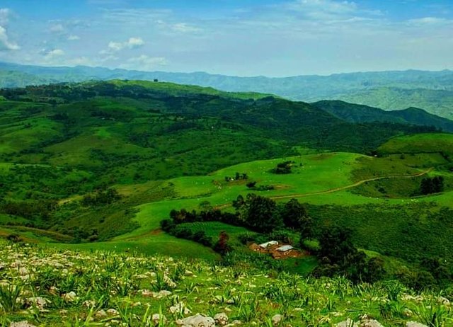
- BAKOSSI MOUNTAINS
The Bakossi Mountains are a mountain range that forms part of the Cameroon line of active and extinct volcanoes in western Cameroon, covering about 230,000 square kilometers (89,000 sq mi). The mountains lie in the regions of Littoral and the Southwest. The highest peak in this range is Mount Kupe at 2,064 meters (6,772 ft). They contain a large area of cloud forest and have considerable ecological interest. The mountains are home to the Bakossi people.
The mountains hold the Bakossi Forest Reserve, a 5,517 square kilometers (2,130 sq mi) reserve created in 1956. In 2000, the main section of the reserve was designated a protected forest. All logging was banned and Kupe became a "strict nature reserve". The local Bakossi people participated in delineating the boundaries. The Forest Reserve in turn contains the Bakossi National Park, created by a decree in early 2008. The park covers 29,320 hectares (72,500 acres), and was justified on the basis of preserving plant diversification.

- MONT TINGUELIN
The sandstone tabular hills of Mount Tinguelin dominate a large plain where the city of Garoua, capital of the North Cameroon region, about ten kilometers to the south, and the town of Bogou, some fifteen kilometers away, are located. 'from each other. The slopes of Mount Tinguelin are home to the communities of Falis.
- COL DE BATIE
Col Batié is a mountain pass on one of the highest altitude sections of the paved road in the Bamiléké country, in western Cameroon. Here, the N5 national road connecting Bandjoun to Bafang is made of a steep and accident-prone route. The landscape offers a unique view of the precipices at the edges of the road and of the mountain range which dominates the Bamiléké plateau in Bana.
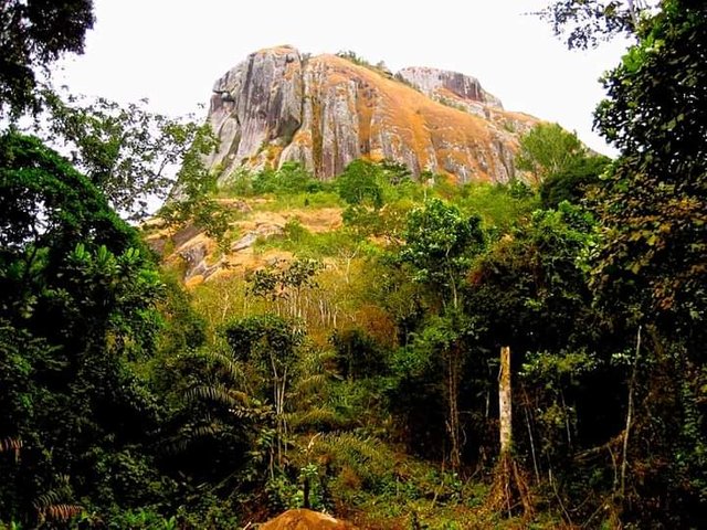
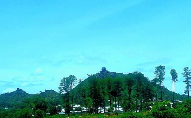
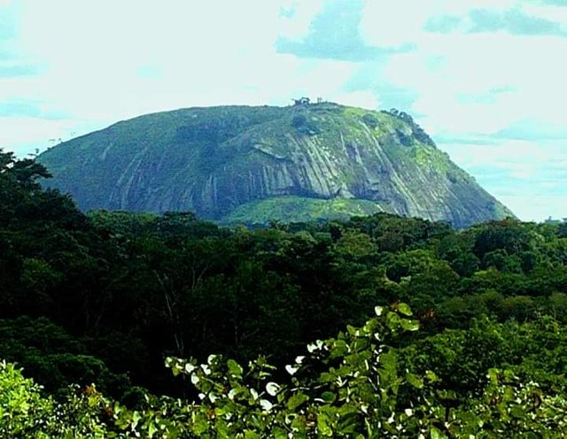
- AKO’AKAS ROCK PEAK
The rock of Ako'akas or Ako ’okas (ako means large rock in boulou) is a remarkable natural site. It takes the form of immense granite walls over 100 meters high above the ground for an altitude of around 800 meters. The site consists of 2 peaks, only one of which is accessible on foot. Some practice mountaineering there, others prefer hiking.
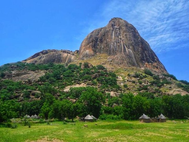
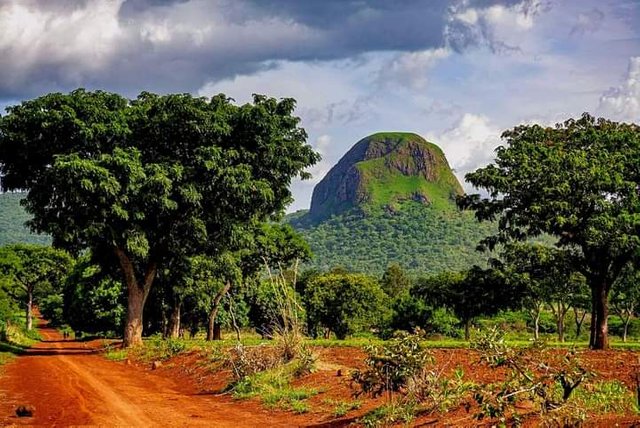
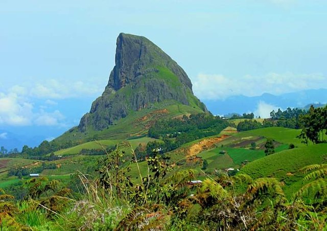
- MINDIF TOOTH
The Mindif tooth or Mindif peak is a rocky peak located 25 kilometers southeast of Maroua in Cameroon. Located 25 kilometers south-east of Maroua, the Mindif tooth is located in Mindif commune, near Kaélé in the Far North region. Its altitude is estimated at 100 meters. The steep character of the rock and its visibility build its reputation as a tourist point.
#betterlife #thegiographylandscape #steemitgeography #steemexclusive #cameroon #steemit #steemitAfrica
I appreciate a lot your engagement with this community.
I’d love to Read more from you!!