A Trek From Scorching Hot Las Vegas to Icy Mount Charleston, Big Falls Hiking Trail, The Hiking Trail Guide
Welcome to The Hiking Trail Guide!
- Big Falls Hiking Trail- 1.5 Miles to the Big Fall / 3 Miles round trip
- Difficulty- Varying, Red path - 7, Green Path - 8 to start (Walking on the ice and snow that could collapse any time sending us into a freezing stream with little help.) 4 to finish
- Location- Mount Charleston, 50 minutes North-West of Las Vegas, Nevada, USA
- Number of Pictures- 60

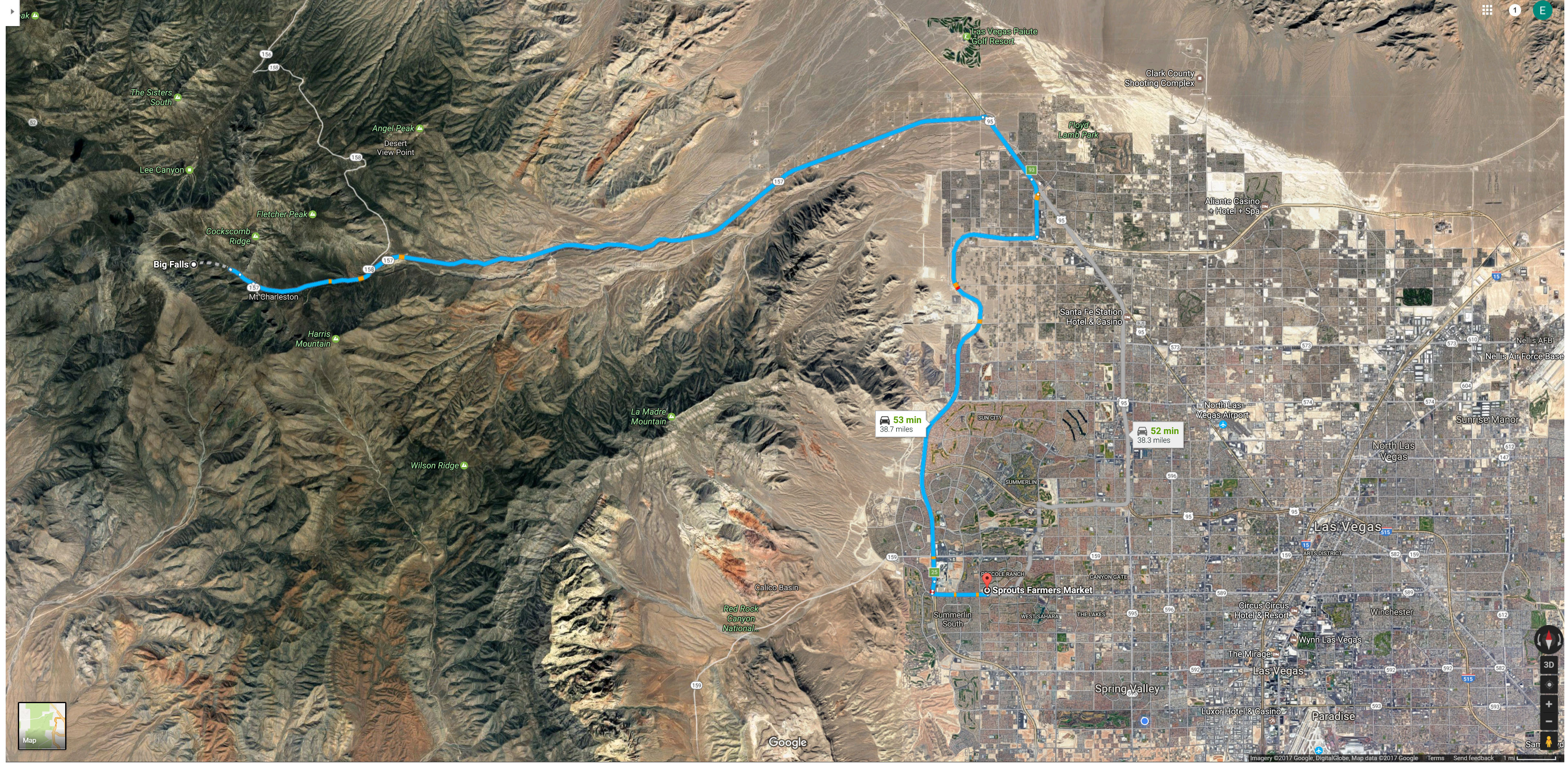
It was 104 Degrees Fahrenheit in Las Vegas which makes hiking the vast majority of places in Las Vegas miserable and dangerous, but Mt Charleston, a cool 73 Degrees, is less than 1 hour away!!! So Chris, Vince, Milika and I, decided to trade the fire for ice for a day and make our own path up to Big Falls!
Explaining my new grading scale
- 1-2 - Trails that require no use of hands.
- 3-7- The higher the number the more use of hands required
- 8-10- Very difficult and will require a rope , a jump, or some other difficult and life threatening maneuver.
Let me know what other info you'd like in the opening of my Hiking Trail Series posts, I'm still working on my Template
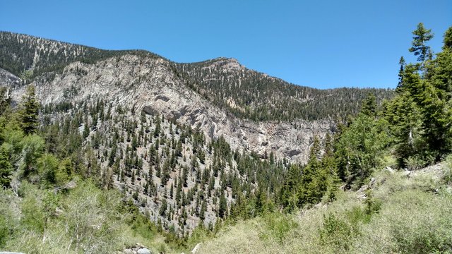
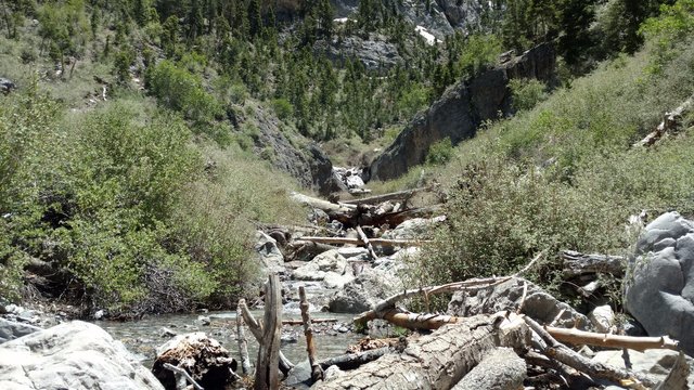
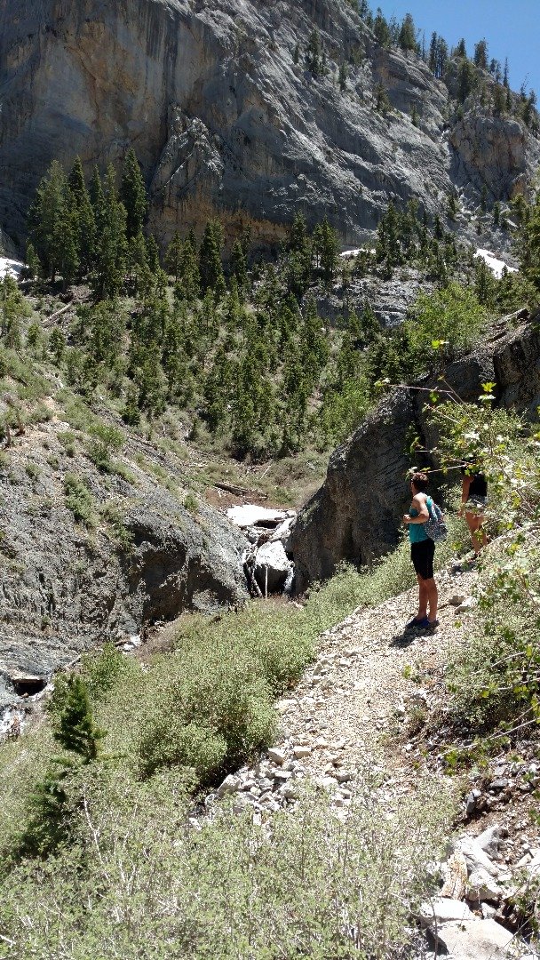
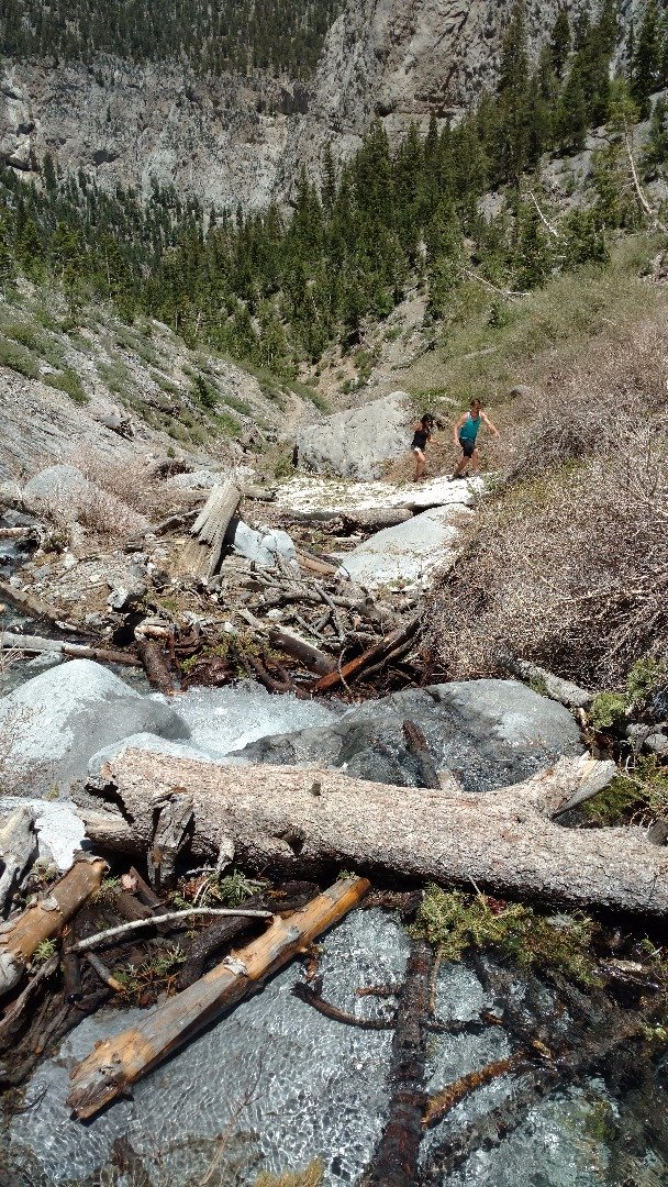
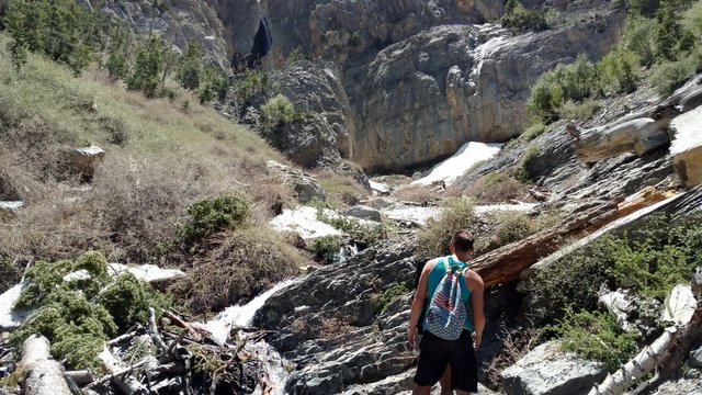
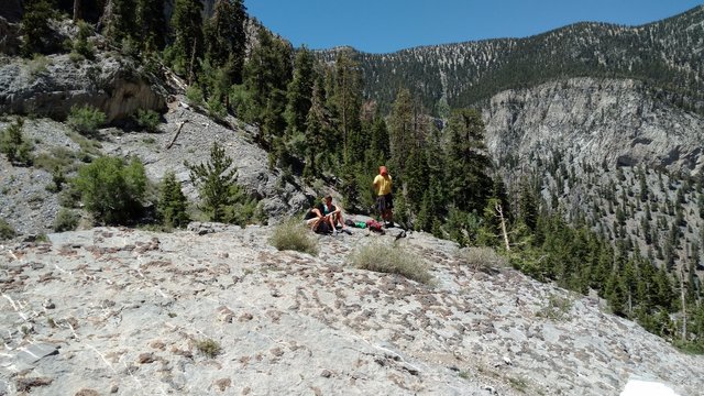
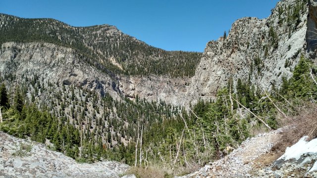
As you can see by our routes we spent most of the time off the path. Roughly at the halfway point for the red path we got to a very steep section of the mountain that required the use of hands with a low center of gravity. It also ended up making the way there roughly 1 hour longer than the return.
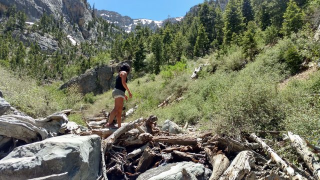
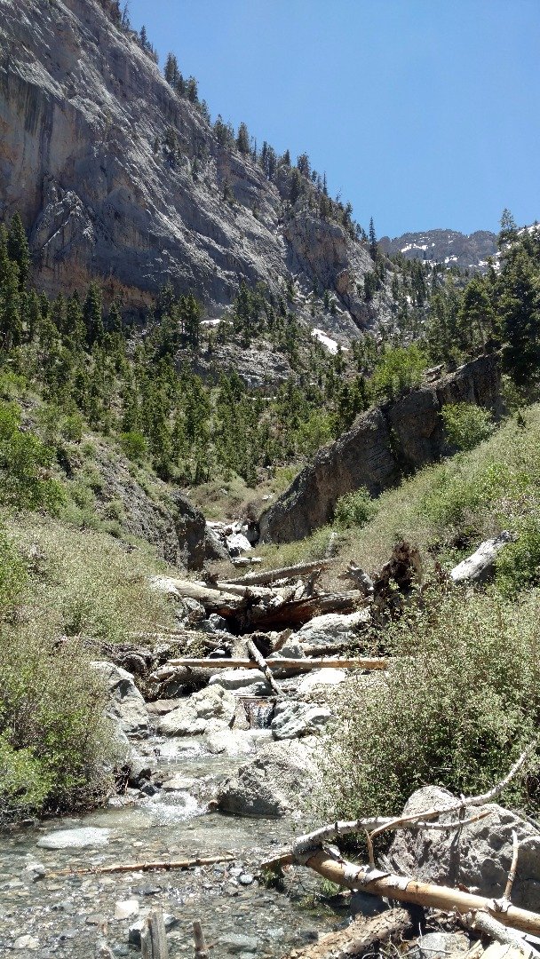
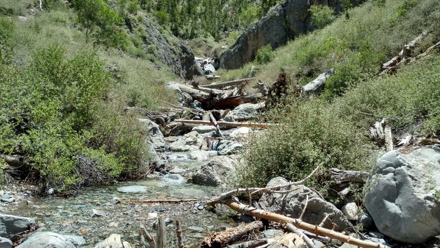
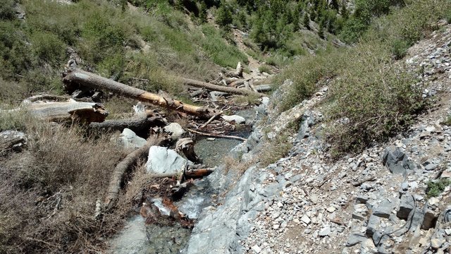
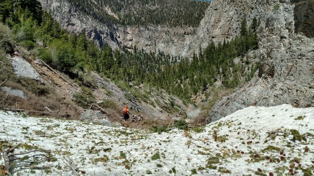
The Beginning
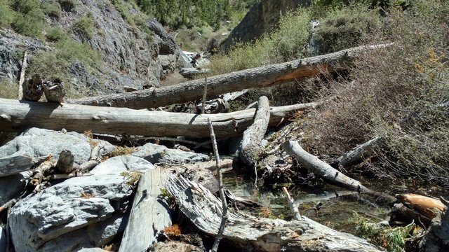
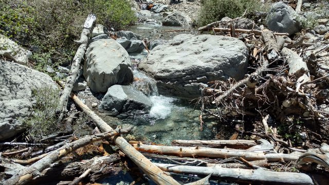
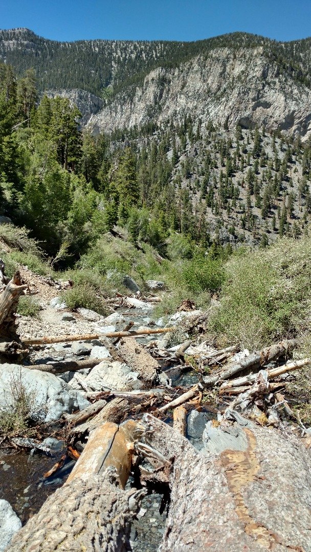
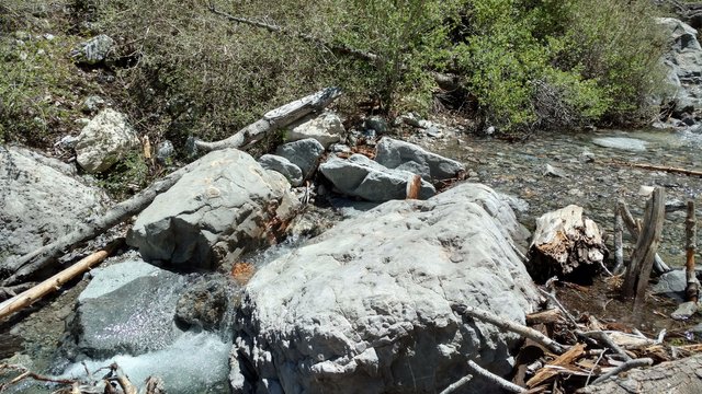
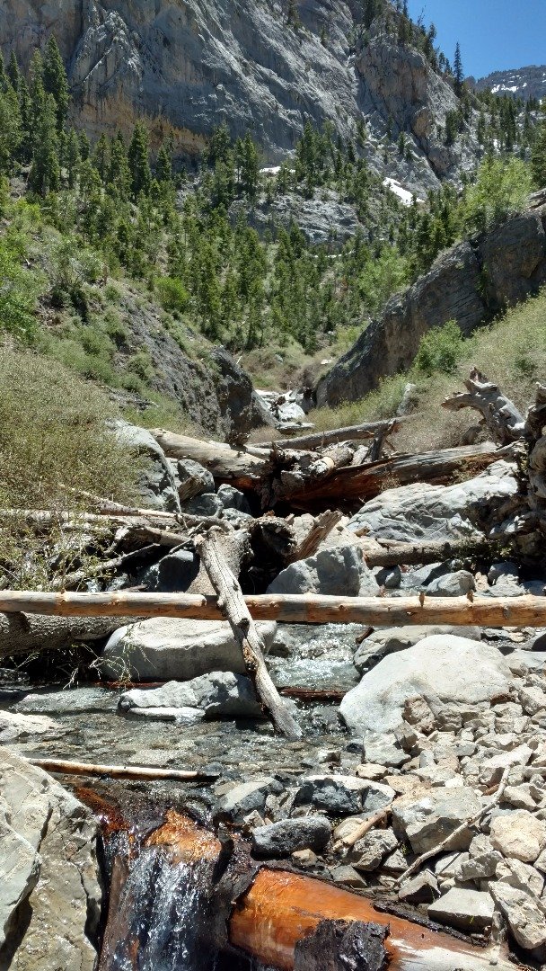
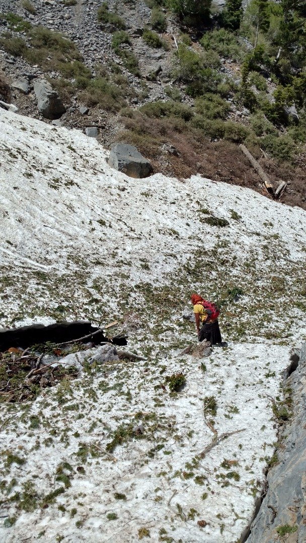
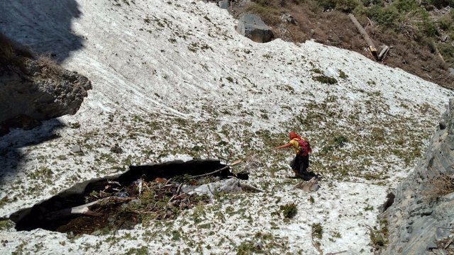
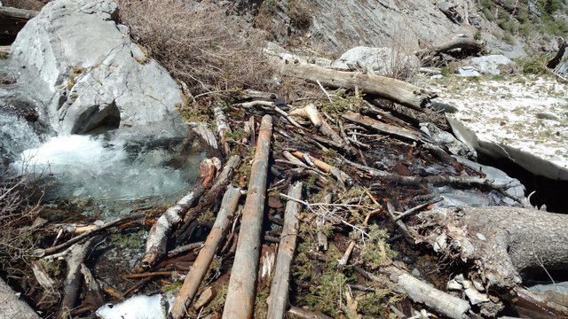
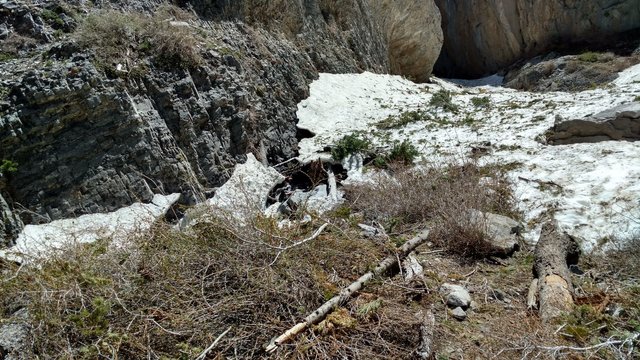
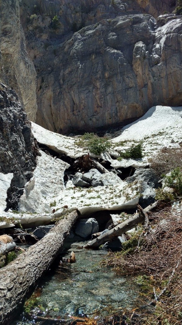
The Icy Stream
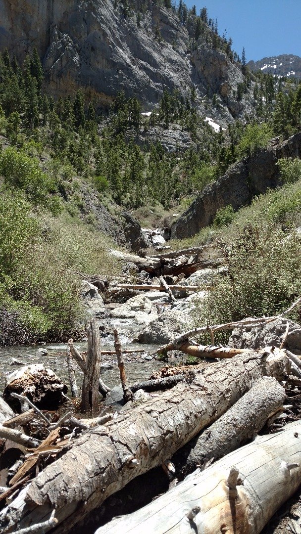
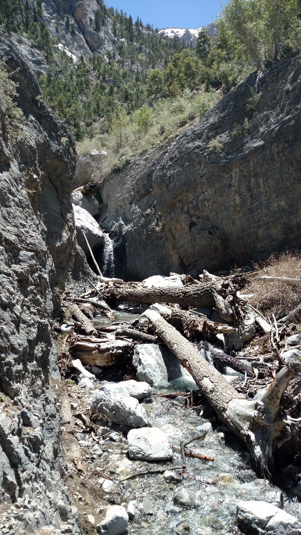
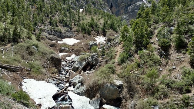
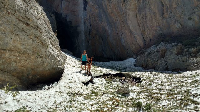
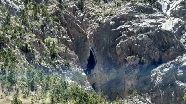
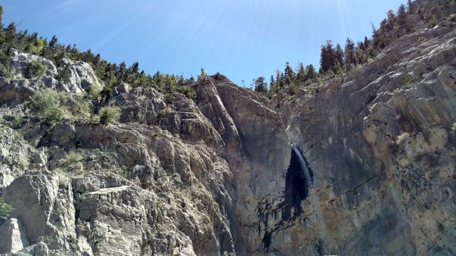
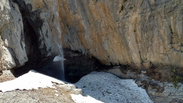
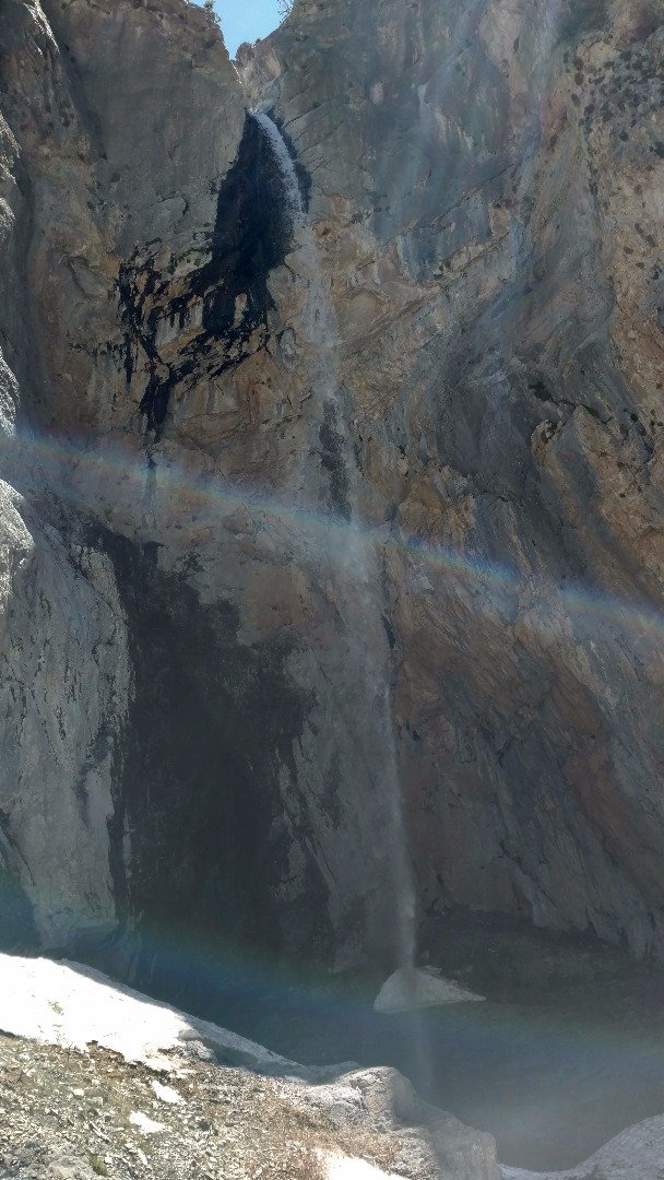
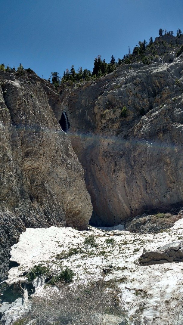
Finally we can see the Waterfall!!! Can You Spot IT??? (pic above)
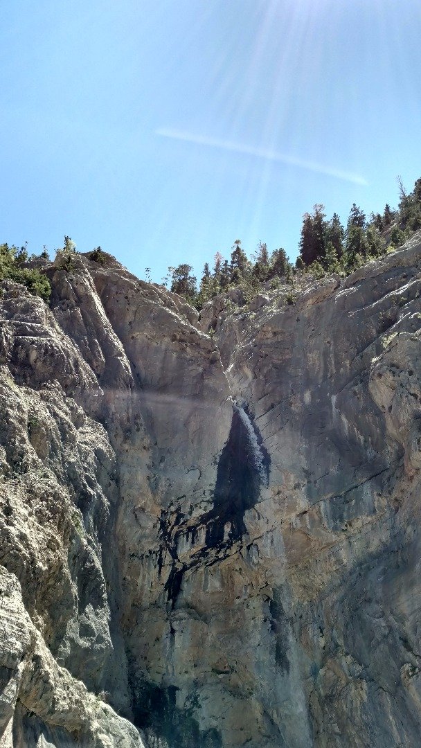
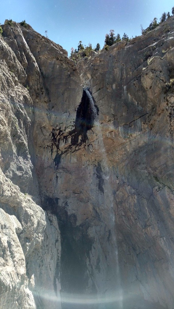
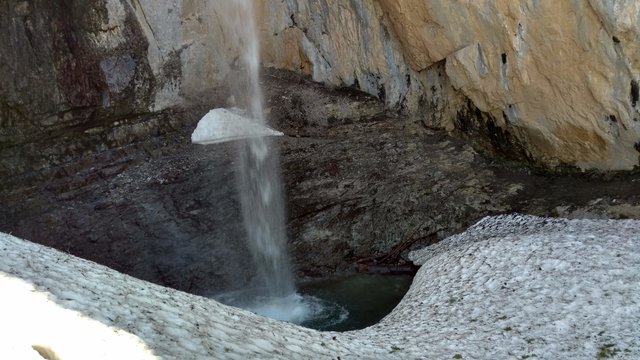
Big Falls Waterfall
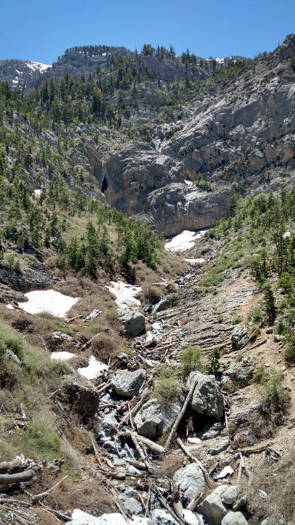
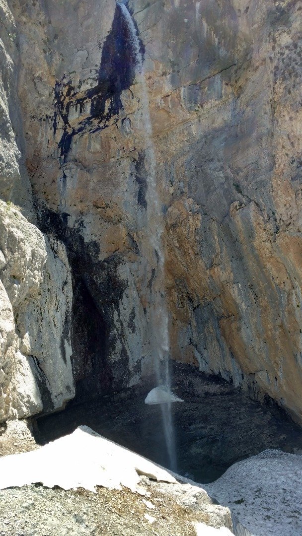
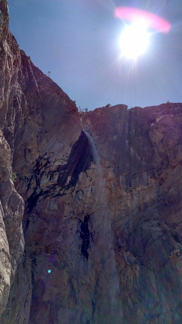
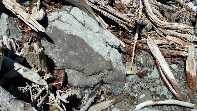
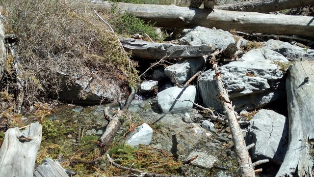
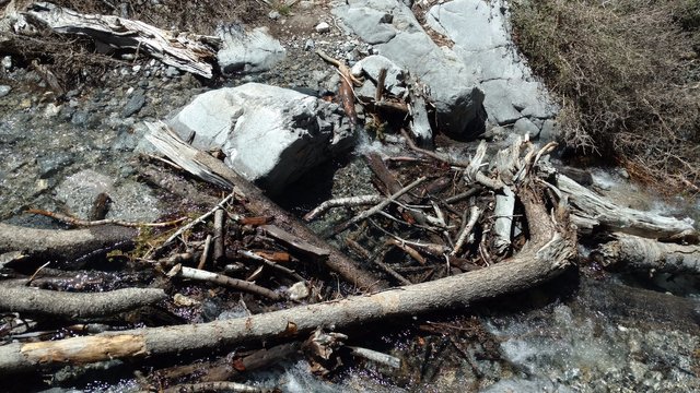
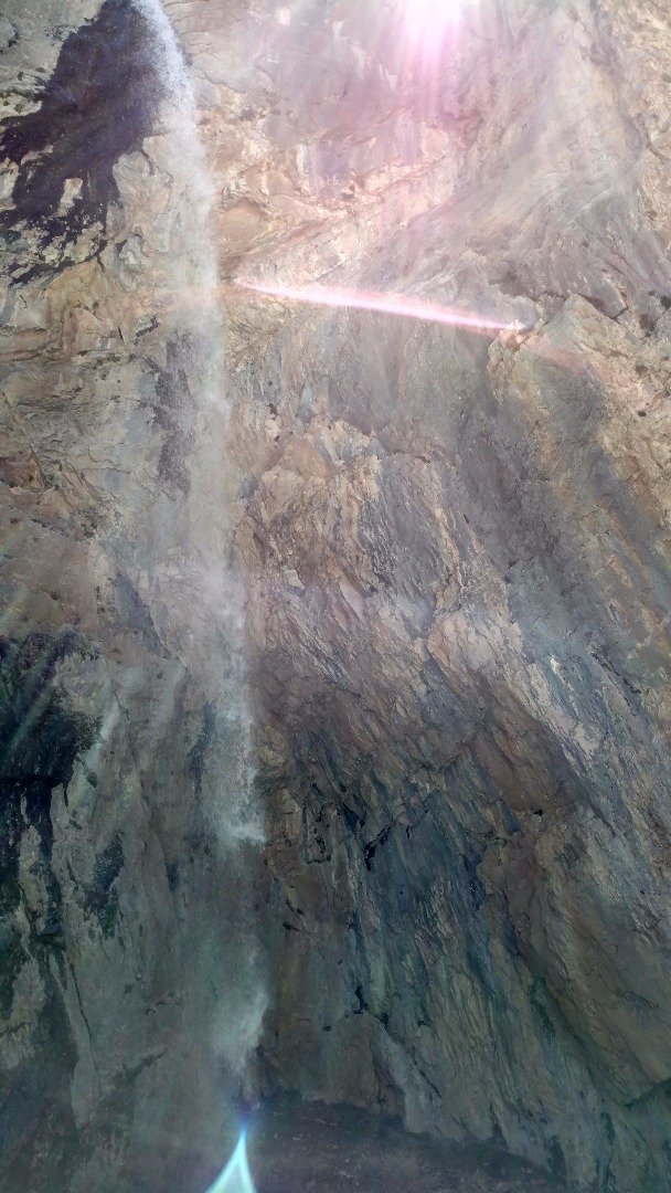
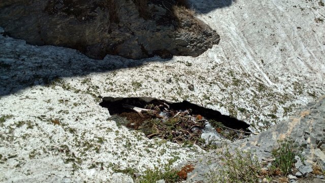
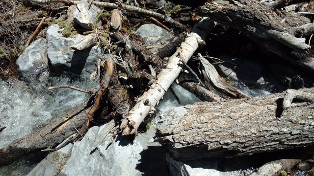
What did I just take a picture of?
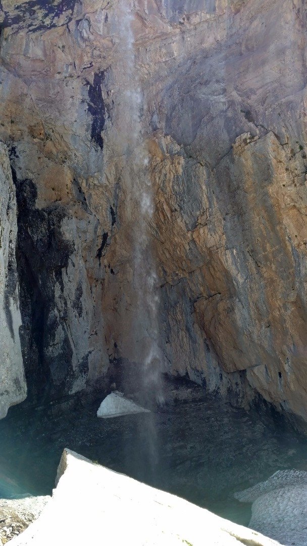
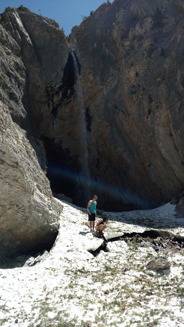
The Lunch Spot, Just Next to the Waterfall
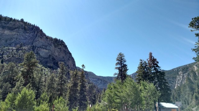
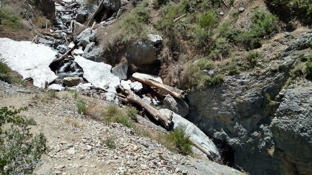
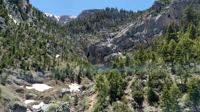
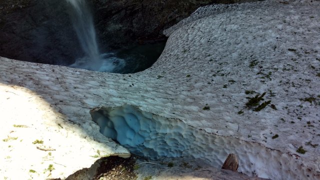
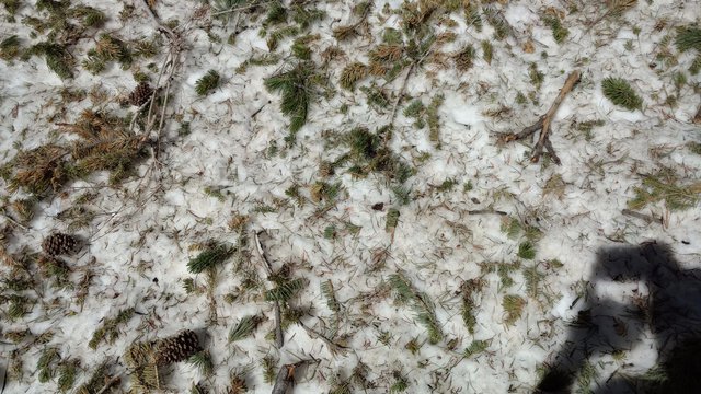
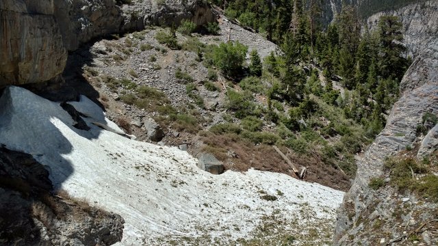
All this Snow, in June, So Close to the Las Vegas Desert
Final Thoughts
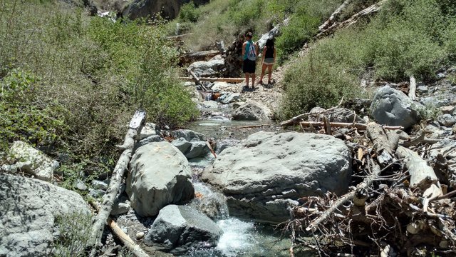
This is normally a intermediate difficulty path with very little risk to your safety if you stay on the path and take it nice and easy. Vince (yellow shirt), Chris (blue shirt), Milika, and I (no pic of me this trail) prefer a more challenging course so we went off path. This spot is great since you can choose your difficulty up until 1/3 of the way to the waterfall. I HIGHLY RECOMMEND NOT HIKING ON THE SNOW AS WE DID. YOU CAN FALL THROUGH, WHICH WOULD BE VERY BAD! If you do, know your RISKING YOUR LIFE and Saftey. Even me , an adrenaline junky, watched Vince in disbelief as he masterfully made his way across the snow, while I watched and followed his footsteps as close as I could.
This is my first post using the Hiking Trail Guide, in the title and tag, but it's the first of many! 3rd hiking trail guide I've posted on steemit. Perhaps there are enough interested hikers on Steemit that we'll will be able to get a trending tag going! I'd love to hear your thoughts in the comments below. This isn't my first hiking post just one with an actual template that will be improved over time thanks to you, and your suggestions!
All pictures taken with my Droid Turbo 2
Thank You for Your Time, UpVote, ReSteem, Follow, and Promote!!!
Which picture is your favorite?!?
I dont understand what your trying to say alga.
Hi...
I am here now, I have seen and read it, a good post and can be motivate other steemians. A great job, may you succeed with you.
Friendship greetings from me @alga may be always be your best friend.
Vote and follow done.
Waiting for your arrival. I have something for you.