Fun with a NIKON P900
I recently picked-up a P900 with it's amazing 80x ZOOM and had a chance to play with it on a recent sunny morning.
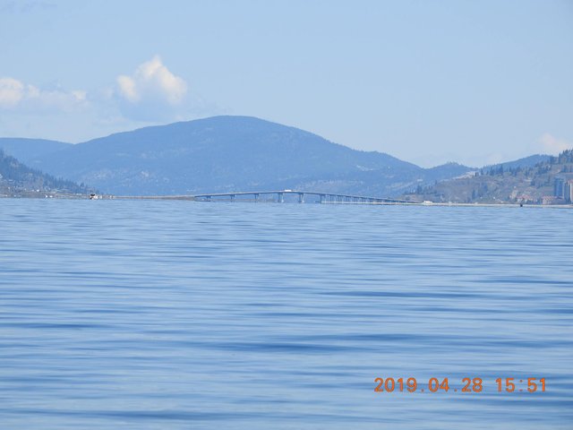
We live near Okanagan Lake in the Southern Interior of British Columbia, over which The Bennett Bridge spans the water and connects the city of Kelowna and West Kelowna. From Bertram Park in South East Kelowna, there is a clear view to the bridge, and it is here that I set down the camera.
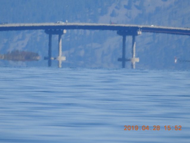
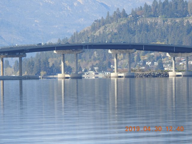
According to Google Maps the shore of the park is 10.7 kilometers (6.5 miles) from the bridge -- at this distance the Earth's alleged curvature is 5.24 meters (including a half meter for eye height). At it's highest point, the bridge has a clearance off the water of 17.9 meters (60 feet). With the P900 zoomed we can easily see the round cement bases anchoring the bridge's highest pillars -- the bases are approximately 2.5 meters (8 feet) off the surface of the water and are clearly NOT hidden by 5.24 meters of curvature.
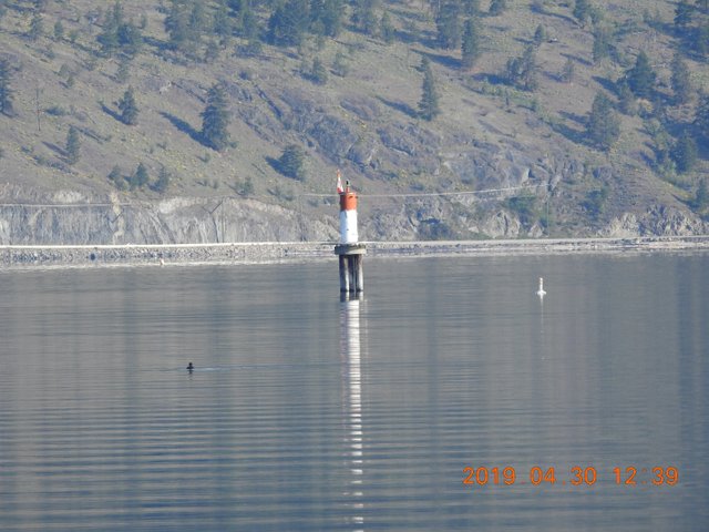
We can also see ( in the 2nd photo ) a faint white and red lighthouse, which is located 2 kilometers beyond the bridge, at Prospect Point. The white section of the lighthouse is 2-3 meters (7-10 feet) off the surface of the water, and the red top above it is maybe another half-meter above the white section. This lighthouse is 12.9 kilometers (8.02 miles) from the camera and is clearly NOT hidden by 8.44 meters of alleged curvature.
Below I have included close-ups of the bridge pillars and the lighthouse to help corroborate their height off the surface of the water (see stand-up paddler near pillar approx 6 ft off surface, and white buoy beside lighthouse).
Sorry ball believers, you're done. For the record I am a rank amateur photographer.
For more observations of the flat Earth in plane view visit our Blog at www.GalileoLied.com


