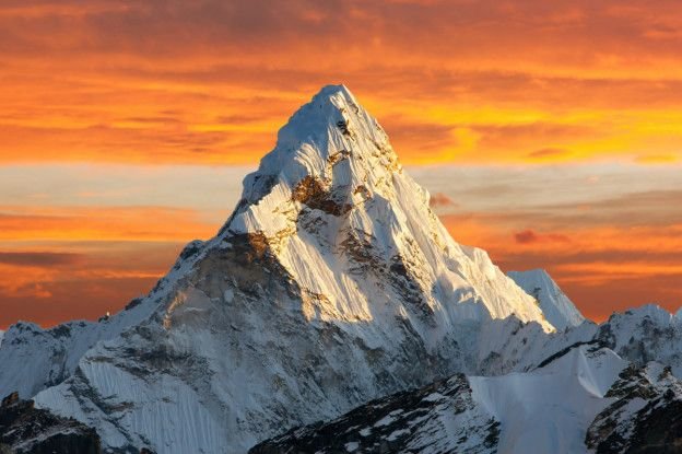
the expedition that wants to check if EVEREST has shrunk
Since the earthquake measuring 7.8 on the Richter scale hit Nepal in 2015, doubts about whether the world's tallest mountain has shrunk have remained dormant between scientists and explorers.
The earthquake that killed thousands of people and destroyed a multitude of houses and villages was so strong that it changed the shape of the Himalayan nation's land, which in turn could have caused a sinking of Mount Everest.

According to the latest measurement conducted by the government of Nepal and expert scientists of India Everest measures 8,848 meters; Centimeters more centimeters less.
With the intention of confirming that this measure is still correct, the Government of India has decided to launch an expedition formed by a group of climbers and scientists to confirm the height of Mount Everest.
Swarna Subba Rao, the director of the expedition in India, explained that the mountain will be measured in two different ways. One through the satellites using GPS and the other in a traditional way, with the technique that was used to calculate the height of the mountain for the first time.
"The team in charge of measuring the height with the GPS will have approximately two hours at the top to make all the appropriate measurements and send the data to our computers, which will take about two weeks to process it before we can know the results," he explained. Rao.
The second method that the project director spoke about is the one invented by George Everest in 1850 to determine the height of the mountain and which is based on a series of measurements using a telescope to then calculate the angle that exists between the platform from the That measurements are made and the tip of the mount to determine the height using trigonometry.
According to the organizers of the expedition there is still no exact date on which the expedition will take place.
"We are training our scientists and we must wait until the weather conditions are adequate," explained Rao.
The expedition will be carried out jointly with the government of Nepal and will cost approximately 700 thousand dollars. A relatively low cost if we consider the recognition they will take and the studies and analysis that they can then develop thanks to the new data that will collect, which, among many other things will allow them to determine how some of the tectonic plates are accommodated after the earthquake.
wow! thats cool and interesting. upvote great photos