Nam Model Robust Winter Storm Watch Continues

Nam Model Robust Winter Storm Watch Continues
<iframe style="border: none;" src="//rcm-na.amazon-adsystem.com/e/cm?o=1&p=12&l=ez&f=ifr&linkID=431c1e7be66bc52a4e7193969dcff192&t=meteorologisj-20&tracking_id=meteorologisj-20" width="300" height="250" frameborder="0" marginwidth="0" scrolling="no"></iframe>
Nam Model Robust Winter Storm Watch Continues
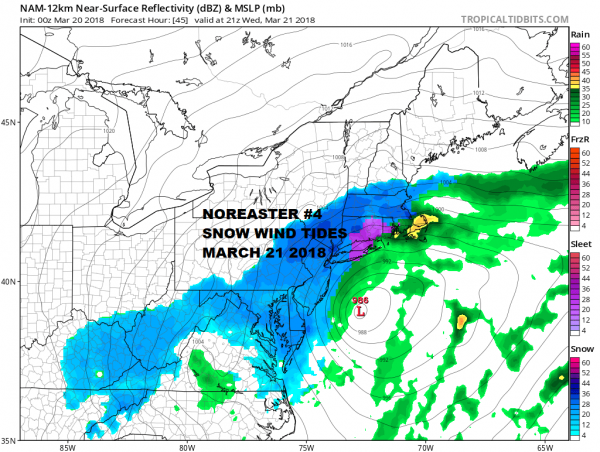
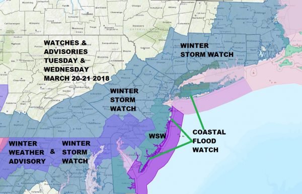
The new NAM model run tonight is at the very least consistent with the prior runs and if anything paints an even more robust picture of snow/sleet for the Northern Middle Atlantic states and the Northeast through Southeastern New England. All of the major cities along I-95 are under a Winter Storm Watch for Tuesday night and Wednesday.
The lead low comes out on Tuesday and this will bring snow across Southern Pennsylvania and a large area of sleet from Southeastern Pennsylvania to northeastern Maryland. This could produce a prolonged period of sleet during Tuesday night before going over to snow on Wednesday. Sleet will not move into the NYC area until Tuesday night and then spread northward gradually changing to all snow across New Jersey NYC and Long Island during Wednesday morning. The low basically stalls out off the New Jersey coast and takes longer to get out of the way so we could see snow into the early morning hours on Thursday before this all pulls out before daybreak. This will be a long duration event for many areas.
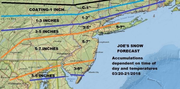
The map above is my snow forecast map from earlier today. I went conservative for a number of reasons but It appears that I will have to move numbers up a bit on Tuesday if overnight models remain consistent on the slower more robust forecast. Clearly the northern edge of the 5-7" line will have to be moved northward into the Hudson Valley north of Route 84 and the top range numbers will have to go up. To the south across Southern Pennsylvania a long period of sleet is going to impact snow amounts to some degree. Southernmost areas in to Maryland and Virginia appear okay at the moment. Long Island as always is tricky but they always seem to find a way to put the snow down in situations like this. Again I am not making changes right now. The National Weather Service forecast amounts remains higher than mine by at least 50%.
US SATELLITE
REGIONAL RADAR
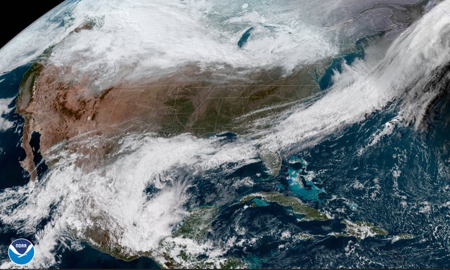
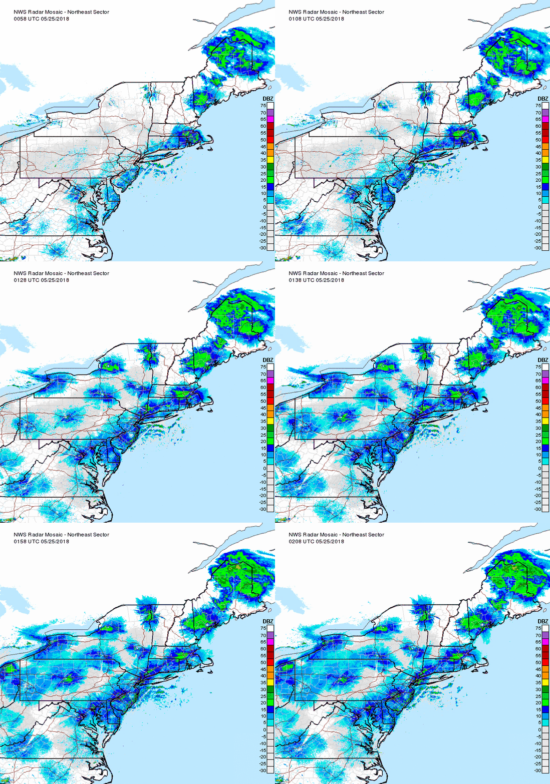
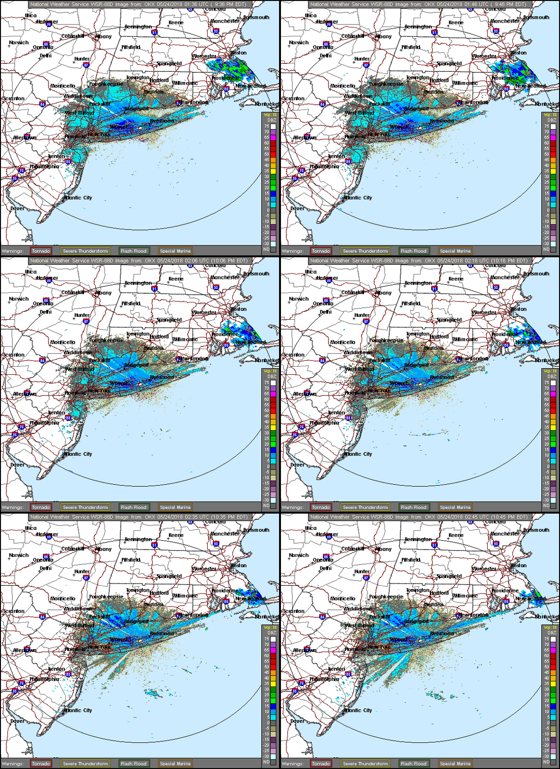
Satellite and radar show the advancing area of heavy precipitation from the Tennesse and Lower Ohio Valley moving eastward and it should reach Southern New Jersey & Southeastern Pennsylvania Tuesday morning.
LOCAL RADAR NEW YORK CITY
LOCAL RADAR PHILADELPHIA
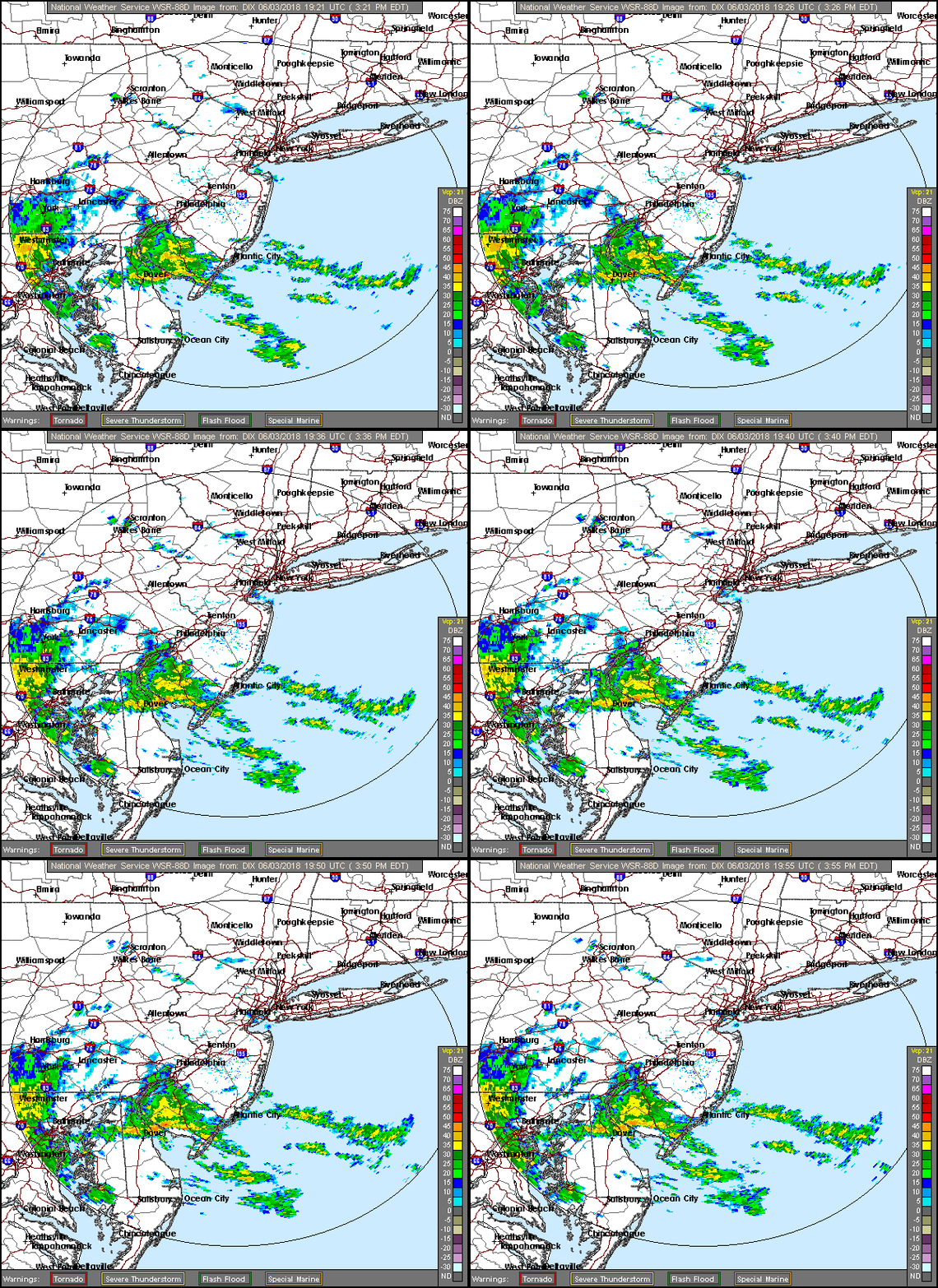
Again for areas from Central New Jersey north and northeastward nothing much happens during the day Tuesday other than increasing cloudiness. The snow sleet and rain to the south advance northward Tuesday night. Wednesday we will see snow/sleet/rain change to all snow everywhere in the morning and become heavy at times into Wednesday evening before ending during the early morning hours on Thursday.
NATIONAL WEATHER SERVICE LATEST SNOW FORECAST MAPS ARE AVAILABLE HERE FROM VIRGINIA TO MAINE INCLUDING OUR AREA. PLEASE CHECK THE TIME STAMP. MAPS UPDATE AUTOMATICALLY
<iframe style="border: none; overflow: hidden;" src="https://www.facebook.com/plugins/post.php?href=https%3A%2F%2Fwww.facebook.com%2Fmeteorologistjoecioffi%2Fposts%2F10159926287540387&width=500" width="500" height="482" frameborder="0" scrolling="no"></iframe>

GET JOE A CIGAR IF YOU LIKE
FiOS1 News Weather Forecast For Long Island
FiOS1 News Weather Forecast For New Jersey
FiOS1 News Weather Forecast For Hudson Valley
NATIONAL WEATHER SERVICE SNOW FORECASTS
JOIN JOESTRADAMUS ON YOUTUBE!
LATEST JOESTRADAMUS ON THE LONG RANGE
<iframe style="border: none;" src="//rcm-na.amazon-adsystem.com/e/cm?o=1&p=12&l=ur1&category=topgiftideas&banner=11QH56VCWYW6G4PKV382&f=ifr&lc=pf4&linkID=25f9995bdc95b135913a2cd0f7f5bb27&t=meteorologisj-20&tracking_id=meteorologisj-20" width="300" height="250" frameborder="0" marginwidth="0" scrolling="no"></iframe>
Posted from my blog with SteemPress : http://www.meteorologistjoecioffi.com/index.php/2018/03/19/nam-model-robust-winter-storm-watch-continues/
