在韩国引进名山 - 漢拏山 (济州岛)
大家好,从今天起,我将介绍韩国的山。
请快乐~~
Hello everyone, from today, I will introduce the mountains of Korea.
Please be happy ~ ~
最好的照片
The best photo
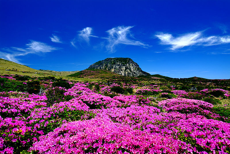
漢拏山 (Hallasan)
漢拏山(韩语:한라산/漢拏山 Hallasan),又作漢拿山,是一座位於韓國濟州島中部漢拏山國立公園的休火山,海拔1950公尺(6,398英尺),超過韓國本土最高峰智異山(지리산,海拔1915公尺)與第二高峰雪嶽山(설악산,海拔1708公尺),為濟州島、韓國第一高峰,據記載,漢拏山最後一次火山爆發為1007年。
Hallaan, Hallasan, and Hallaan, is a volcano at the Hama National Park in central Jeju Island, Korea, at an altitude of 1950 meters (6,398 feet), more than the highest peak in South Korea. 1915 meters) and the second peak of the snow-capped mountains (설악 산, 1708 meters above sea level), Jeju Island, South Korea's first peak, according to records, Mana Mountain volcano eruption for the last 1007 years.
漢拏山是韓國為數不多的火山,周圍有360座寄生火山。並形成長達14公里的熔岩隧道。2007年被列為世界自然遺產。
Halla is one of the few volcanoes in Korea, surrounded by 360 parasitic volcanoes. And the formation of up to 14 km of lava tunnel. 2007 was listed as a World Natural Heritage.
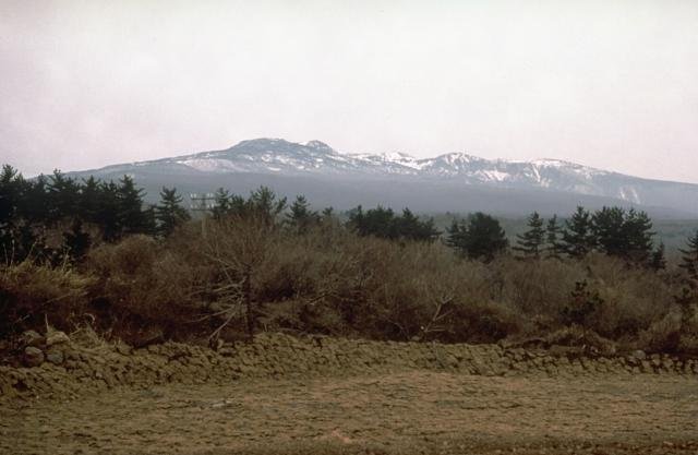
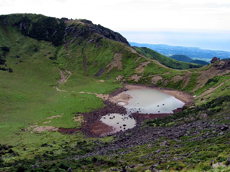
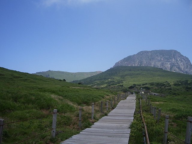
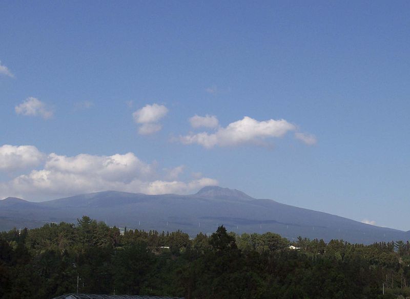

位置
一座休眠火山,它发源于济州,济州特别自治道的心脏,以及在韩国的大片领土上最高的山峰。记录在1950米的高度。是济州岛的金山。
A dormant volcano, which originated in the heart of Jeju, Jeju Special Selfish Road, and the highest mountain in the vast territory of Korea. Recorded at a height of 1950 meters. Jinshan is Jeju Island.
虽然整体是一般的火山形式,山区的形状是火山。在哈拿山山顶,有一个Baekrokdam,直径约551米。山上散布着380多条人行道。
Although the whole is the form of volcano in general, the shape of the mountain is volcano. At the top of Mount Hanna, there is a Baekrokdam, about 551 meters in diameter. There are more than 380 sidewalks scattered on the mountain.
根据高度,成熟植物中出现了各种植物如桑树或高山植物。 2007年被列为联合国教科文组织世界自然遗产名录。
Depending on the height, various plants such as mulberry or alpine plants appear in mature plants. 2007 was listed as a UNESCO World Heritage List.
哈拉山占主导济州岛,代表同心圆的轮廓线,属于상화火山。海拉是瀑布和baekrokdam的Jusangjeolli,约360寄生锥(侧火山)和顶部火山地形如沿海地区(柱状节理,多边形柱状金),I siksaengdae(稀有植物的植和温带气候生的高度而韩国的民族性格的变化,如国家带(党)的变化,有资源发展成为全球旅游目的地。于是,1970年被指定为哈拉桑国家公园。
The harbor is the dominant Jeju Island, representing the concentric contours, belonging to the 상화 volcano. Heila is the waterfall and baekrokdam's Jusangjeolli, about 360 parasitic cone (side volcano) and the top volcanic terrain such as the coastal area (columnar joint, polygonal columnar gold), I siksaengdae (rare plant vegetation and temperate climates) Personality changes, such as changes in the national band (the party), have the resources to develop into a global tourist destination, so in 1970 was designated as the Hala Sang National Park.



欢迎 Follow & Upvote @michellelee
感谢您的光临,鼓励和支持是最好的幸福!
Thank you for your presence, encouragement and support is the best happiness!