NYC Quiet Warmer Short Range Active Mid Range

NYC Quiet Warmer Short Range Active Mid Range
Good morning everyone! We have an absolutely beautiful day today in the entire NYC Metropolitan Area ;and a bonus day is up in the batter's box tomorrow before we slowly dial up the warmth and humidity again. Our pattern remains locked in a very typical NYC summer-type layout, with a break here and there in between heat & mugginess, then rounds of heavy thunderstorms bringing relief.
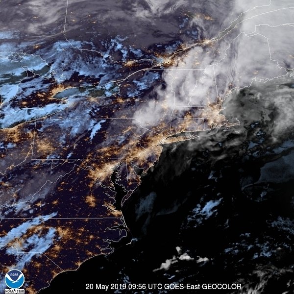
SATELLITE

We continue the sun, dry air, and comfortable weather tomorrow, with mid 80's in most spots as we return to more average temps.

Friday still remains looking fairly comfortable, but for those with good senses, you will feel that humidity creeping up slowly. We're still not hot yet, but we do start edging things into the mid to upper 80's.
For our weekend, the heat and humidity makes a full return, with Saturday being slightly more tolerable than Sunday. We go for upper 80's to near 90 and a humid on Saturday, then upper 80's to low 90's on Sunday with muggy conditions.

Our start to the week will be a hot one, with upper 80's to low 90's again on Monday and very humid, then we wait to see what happens with a series of fronts for Tuesday - Friday. The first could be very weak and just help reinforce the airmass, but the timing of clouds and scattered precipitation will be crucial as to if we get our "cheap heatwave". For the moment, upper 80's to low 90's are possible Tuesday through Thursday, but we have to wait and see how everything times out.
I think the big tamale comes through some time between Thursday and Friday to provide a good break from the heat. However, with that will come with another possible round of severe weather since the cold front is looking strong and fast moving. Also, sweater weather during daylight hours and polar vortexes remain on hold for the moment.

Please note that with regards to any tropical storms or hurricanes, should a storm be threatening, please consult your local National Weather Service office or your local government officials about what action you should be taking to protect life and property.
Posted from my blog with SteemPress : https://www.nycweathernow.com/nyc-quiet-warmer-short-range-active-mid-range/