NYC Long Range September Early October Forecast
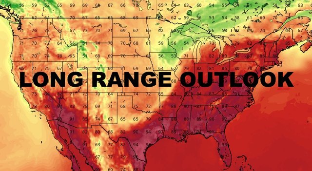
NYC Long Range September Early October Forecast
Good morning everyone. What's left of Hurricane Dorian is chugging off to the northeast at a very good clip, with Nova Scotia and Newfoundland in its sights. Obviously when it gets to a certain latitude, it'll go extra-tropical, but it makes no difference and only semantics as it pounds our neighbors to the north. That'll help pave the way for a fairly nice stretch for us, and also open a window into the long range for you.
SATELLITE
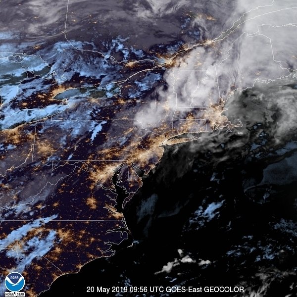
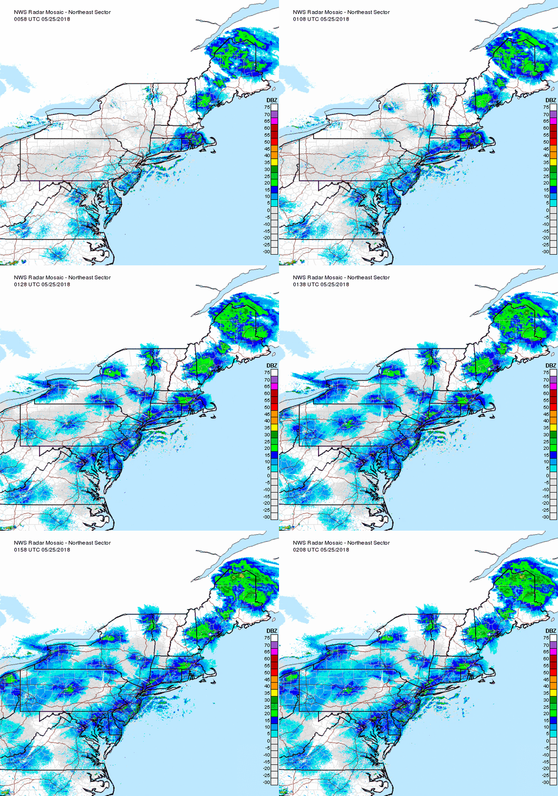
Tuesday we start making room for our next system and a drier flow will temporarily visit. We'll get some of the clouds out of the way and go for upper 70's, remaining comfortable humidity-wise.
The warmer airmass ahead of our next system will make its presence known on Wednesday, with warm and humid conditions and the chance of an afternoon shower or storm; highs in the low 80's, cooler at the immediate shore.
At this point, I see the front having a hard time fully passing through. That'll give us another warm & humid day on Thursday, with the slight chance of another shower or storm. Look for a humid upper 70's to low 80's.
Friday looks like our Tuesday, sandwiched in between 2 systems. We'll see how that works out, but we could see a sunny to partly sunny Friday, and a return to seasonal temps and low humidity before another system begins to pump in more warm & humid air for at least part of the weekend.
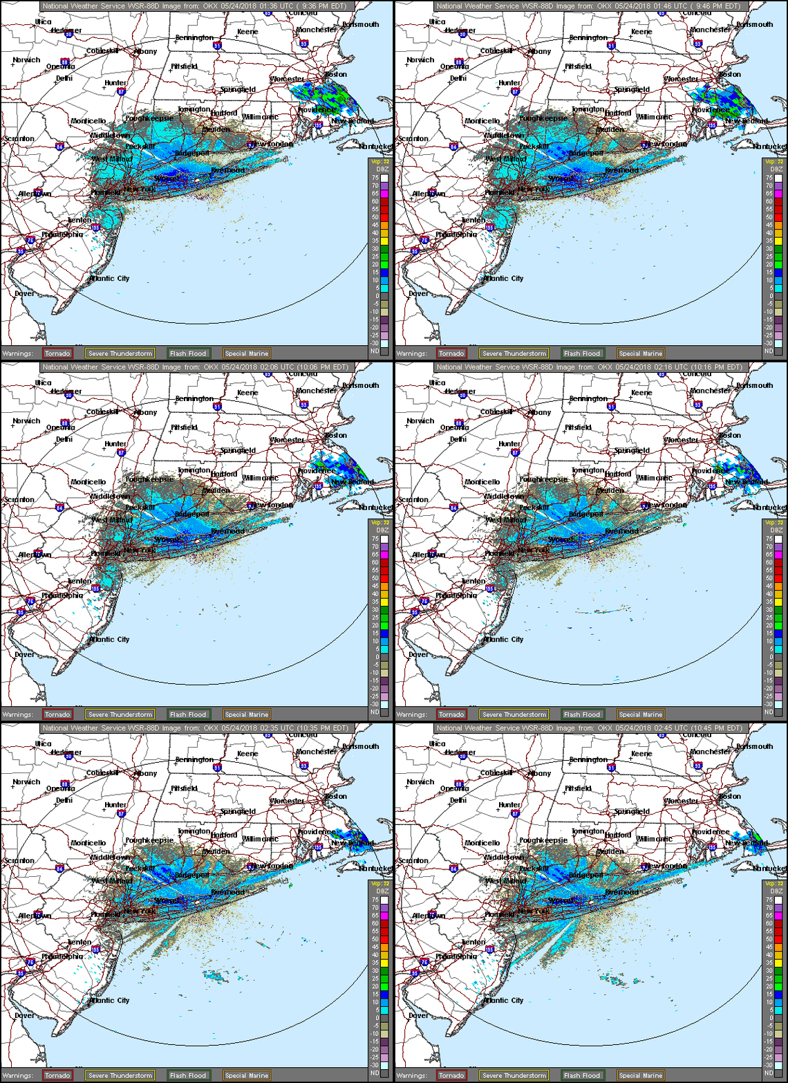
That initial forecast takes us into mid-month, and while cooler air is becoming more available, I don't think we're done with some warm days. We are lacking strong, definitive fronts during this pattern; either breaking up/weakening as they approach the Ohio Valley, energy going well to our north, or small high pressure systems dropping in from the north and slowly sliding east.
A lot of our severe weather this season, came from small waves ahead of these weak fronts, or isolated popcorn-like airmass storms. This also continues to be the case until we get a strong front moving through.
Ahead of our systems trekking across the US, look for a series of warmups, followed by a transition day of average-slightly above average temps, then a couple of cool days before we rinse and repeat. If the timing is right, we could be looking at a warm start to fall, or at least very close in proximity to September 23rd.
Regardless of whether we are warm just before, during, or just after our transition to fall, it looks as if the pattern we are seeing now, remains in place. This equates to a fast-moving, relatively zonal pattern, with nothing extreme in either direction. Warmups, cool downs, moderations, all in quick march behind one another.
For those who like the cool weather, we'll get some. For those who like the mid to upper 70's, there will be plenty. For those who are still trying to hold onto summer, we are nowhere near done with some 80's here and there, even into late September/possibly early October. The only thing that can change this pattern right now, would be a tropical system that doesn't exist or can't predict this far out. So as long as we stay tropical-free, we should hold steady.
Please note that with regards to any tropical storms or hurricanes, should a storm be threatening, please consult your local National Weather Service office or your local government officials about what action you should be taking to protect life and property.
Posted from my blog with SteemPress : https://www.nycweathernow.com/nyc-long-range-september-early-october-forecast/
