The Heaven on Earth Marshal Islands
The Marshall Islands, officially the Republic of the Marshall Islands is an island country located near the equator in the Pacific Ocean, slightly west of the International Date Line. Geographically, the country is part of the larger island group of Micronesia.

Sceneric view of Bikni Atoll of Marshal Islands
The Republic of the Marshall Islands (RMI) is about midway between Hawaii and Australia. First settled by Micronesian navigators, they were subsequently controlled by Spain and Germany, and finally by Japan. Prior to the beginning of World War II, the Japanese fortified some of the atolls as a defensive measure. When that war ended with Japan's defeat, the United States was given total control.

Aerial view of Marshal Islands
For almost 40 years the islands were under U.S. administration as the easternmost part of the United Nation's Trust Territory of the Pacific Islands. The United States used some of these isolated atolls for nuclear testing between 1947 and 1962. Long term affects are yet to be totally understood, and damage claims are still in the courts to this day. In 1986 the islands gained independence under a Compact of Free Association with the United States. Under the terms of that agreement, the U.S would provide significant financial aid, that to date now exceeds $1 billion. The population of Marshal Island till 2016 is 53,066. Total area of this island is 181.4 km². Major currency used in Marshal Islan is USD Dollar.
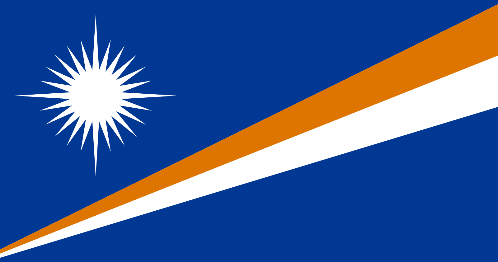
Marshal Islands Offical Flag
The flag of the Marshall Islands was adopted upon the start of self-government on May 1, 1979. The flag was designed by Emlain Kabua, who served as the first Lady of the republic. The National language of marshal islands is Marshallese. The Marshallese language is also known as Ebon, Marshallese is a Micronesian language spoken in the Marshall Islands by about 44,000 people, and the principal language of the country. There are two major dialects: Rālik (western) and Ratak (eastern).

The average height of the islands is only 7 feet above sea level.Due to climate change and the fact that the atolls and islands are only a couple of metres above sea level, the Marshall Islands are at serious threat of a rising sea level. Copra, or dried coconut meat, is important to Marshallese economy.The islands have a total coastline 229 miles (370 kilometres).The temperature averages around 27°C (81°F) – it’s generally very hot and humid.


Resorts
Marshallese society has always been stratified, and despite increasing Westernization and the introduction of a moneyed economy, social status still comes as much from one's kinship as it does from one's own achievements. Chiefs continue to wield a great deal of authority over land ownership and usage.

Laura Beach Park
Most goods are imported from California, New Zealand and Australia. Food products look a little different.Majuro retail stores offer a surprising variety of consumer goods despite the country's remote location. The two largest grocery stores in Majuro are Robert Reimers Enterprises and Gibson's. Both stock a large variety of American grocery products, including packaged and canned goods, frozen meats, vegetables, ice cream, bread, fresh vegetables, and a good supply of dairy products.The literacy rate of this country is very high. It is around 94 percent.
I hope you guys like it an d find my future posts interesting and follow them.
The water is so beautiful