FROST FREEZE SURROUND NYC AREA COASTAL SYSTEM OPPORTUNITY
FROST FREEZE SURROUND NYC AREA COASTAL SYSTEM OPPORTUNITY
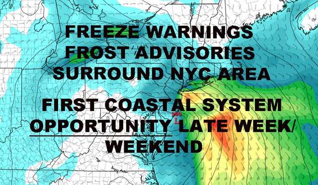
Good morning everyone. We have another windy one today in the New York City area, plus winds calm down enough overnight to allow freeze and frosty conditions in the surrounding counties. Meanwhile, features on the map continue to present coastal system opportunities, with our first chance possibly late next week/early next weekend.
REGIONAL RADAR

Our radar is clear as the cool core of this shot has moved over the area and dried things out completely. Yesterday, we had a few cold air funnels witnessed N&W of the NYC area, as well as out on eastern Long Island. These look like small funnel clouds and scare people, but they are not the same as the type of funnel that would produce a tornado. They typically happen this time of year when cooler than average air rushes in and are high pressure based, not low pressure, and are not associated with thunderstorms.
For today, expect that wind machine to continue, with sun and clouds, and highs only 45-50. We could still reach 25-30mph with some of those gusts. Overnight tonight, winds will calm down just enough to allow radiational cooling, especially outside of the City. Expect lows in the upper 30's to low 40's here in the City, but areas N&W will dip into the upper 20's; hence the freeze warnings. For Long Island, we could see lows in the low to mid 30's, especially out in Suffolk. For this reason, combined with the calm to light wind, Frost Advisories have been posted out there.

Tomorrow, we modify slightly but the wind returns. This time it'll be out of the SW with a weak approaching system, but also represents another reinforcing shot of cooler air. Look for highs 55-60 tomorrow, then we cloud up as the day goes on. We'll have the slight chance of showers overnight, and that chance will linger into a gusty Saturday morning. After the energy leaves, clouds will linger around for a while before we begin to slowly clear. We'll start off in the upper 50's to low 60's Saturday, but then drop off as we get towards afternoon.
Sunday is looking breezy, sunny, and well below normal again; with highs in the upper 40's to low 50's.

Next week, we hold onto the below normal temps, then watch as energy heads out of the South West/Gulf area. Just like wintertime with models predicting coastal systems ridiculously ahead, we have to approach any long range "threat" with a degree of skepticism.
However, the opportunity is there for Gulf moisture to be drawn up into the area over the course of the next few weeks and late next week/early next weekend will be our first chance. I won't get into the fine details yet, because much can change, including the chance nothing happens, but we'll be looking for the possibility of Gulf Moisture heading into the southeast or just west of the Appalachians in the Tennessee Valley, then transferring its energy to the coast. Behind that opportunity, there will be other chances of this scenario playing out.
We shall see. Stay tuned!
FiOS1 News Weather Forecast For New Jersey
FiOS1 News Weather Forecast For Hudson Valley
NATIONAL WEATHER SERVICE SNOW FORECASTS
JOIN JOESTRADAMUS ON YOUTUBE!
LATEST JOESTRADAMUS ON THE LONG RANGE
Posted from my blog with SteemPress : https://www.nycweathernow.com/frost-freeze-surround-nyc-area-coastal-system-opportunity/