A Striking 18th Century Map of Scandinavia with an Elaborate Title Cartouche
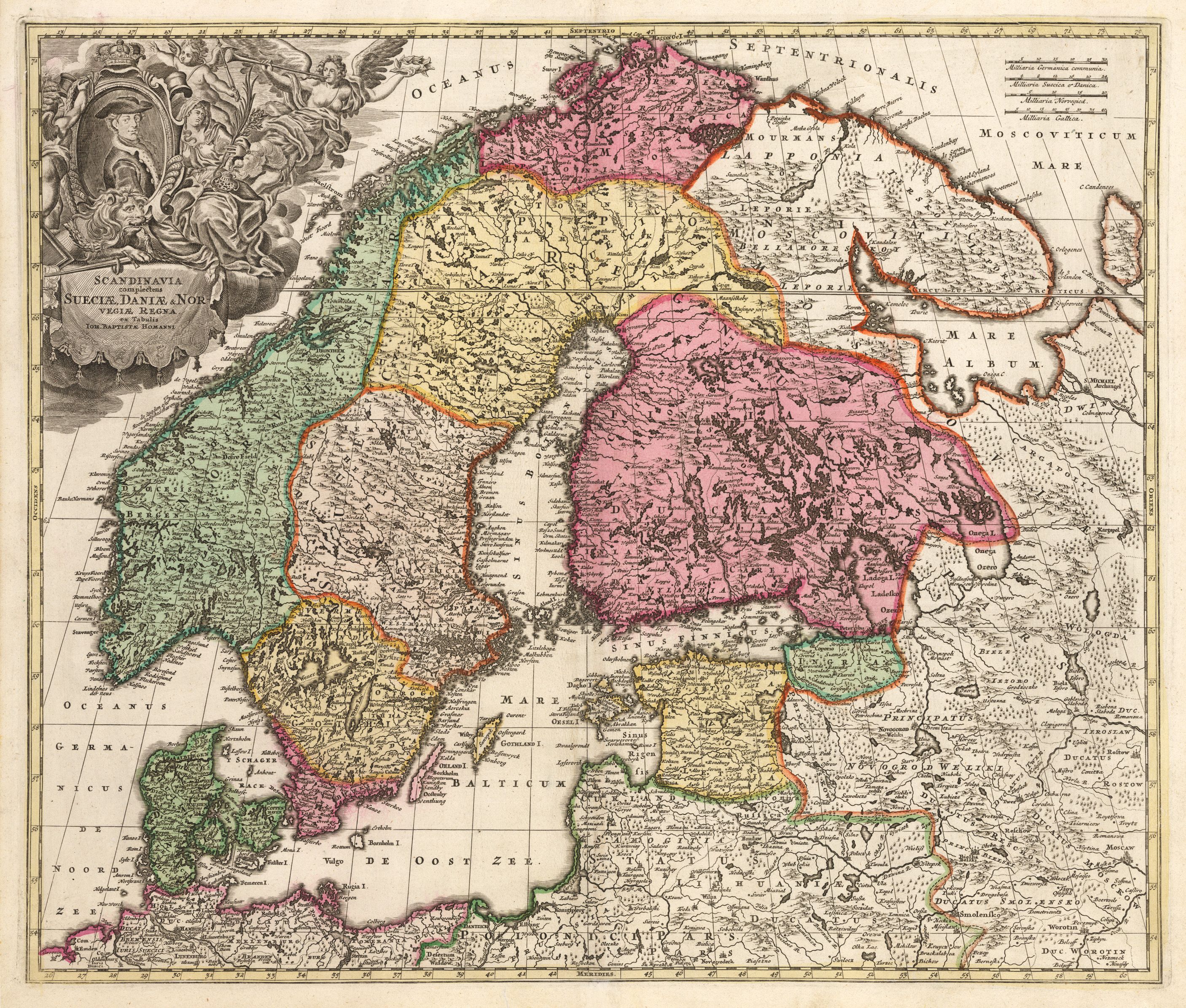
Scandinavia complectens Sueciae, Daniae & Norvegiae Regna ex Tabulis Ion.
By: Johann Baptiste Homann
Date: 1720 (Published) Nuremburg
Dimensions: 19 x 22.5 inches (48.3 cm x 57.2 cm)
This beautiful folio map of Scandinavia is the work of Johann Baptiste Homann. In addition to Scandinavia this highly detailed map includes Denmark, the Baltic Republics, portions of western Russia, northern Poland and northern Germany.
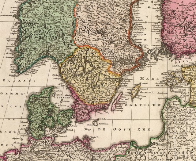
The map demonstrates the leap in geographical knowledge which was accomplished between the 16th century when Munster published his maps of the area and the early 18th century when Homann was at the height of his career, just five years after being named Imperial Cartrographer by Holy Roman Emperor Charles VI. By this time Scandinavia had been better explored and charted, thus Homann’s geographical details, based on previous maps and more recent exploratory expeditions, are very accurate.
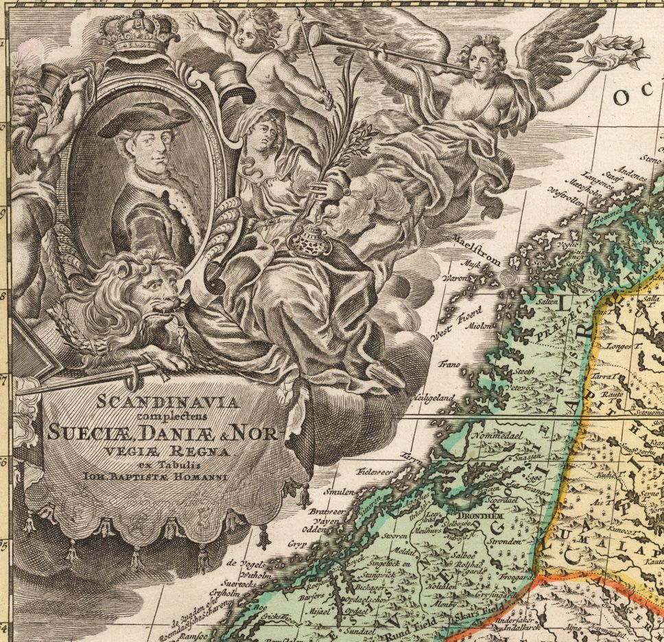
An elaborative figurative cartouche embellishing the map features an angelic herald, allegorical figures, putti, a lion, and an unidentified gentleman seated in the center.
Have questions about this map or would like to see an old map of somewhere else in the world? Comment below.
Like antique maps and history? Follow me on Steemit and visit my website where you can buy antique maps with bitcoin (https://www.hjbmaps.com)
Fine print reproductions available at (https://www.thevintagemapshop.com)
It would be super nice to see a post from you where you explain how your interests in antique maps began and your process for choosing specific maps :)
Thanks for the suggestion. I definitely will do that sometime in the near future.