Porto's historical town - UNESCO's World Heritage
The boundaries were set in reference to the medieval wall, also called "muralha Fernandina" after King D. Fernando (XIV century) during which reign its construction ended.
The process by which civil constructions spread out leaning against this structure culminated with its almost total demolition during XVIII- XIX th. centuries to give place to the expansion of the walled city. 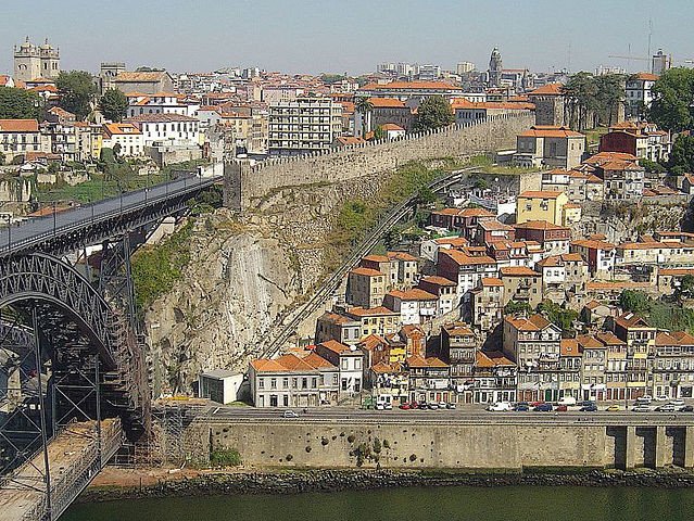
Remains of the original wall are almost all hidden, with some few exceptions, most of the medieval urban mesh and buildings stood as portrayed in the map bellow.
Congratulations @dlopes! You received a personal award!
You can view your badges on your Steem Board and compare to others on the Steem Ranking
Vote for @Steemitboard as a witness to get one more award and increased upvotes!