Krueng Raya Bay
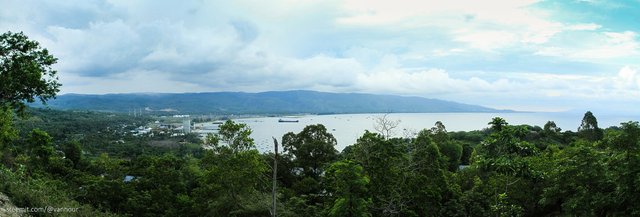
This is a composite image of four photos, use Photomerge tool automatically merging in adobe photoshop. I think this technique is helpful to describe the atmosphere as a whole.
Step merger techniques
Step 1
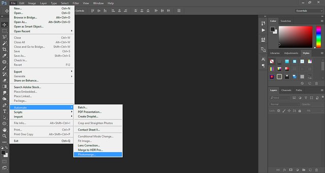
Step 2

Step 3
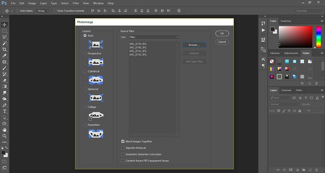
Step 4
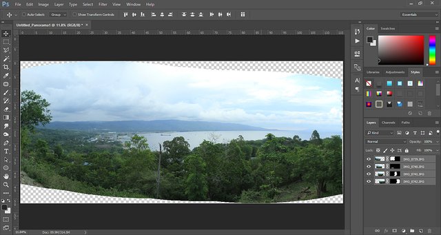
4 photos combined
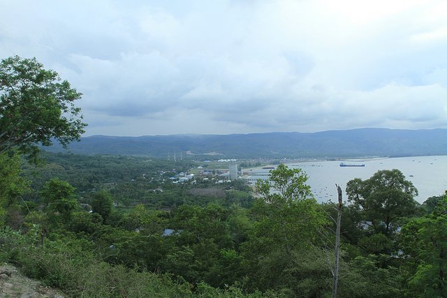
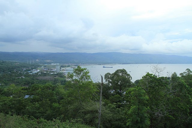
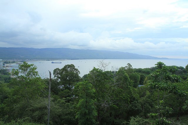
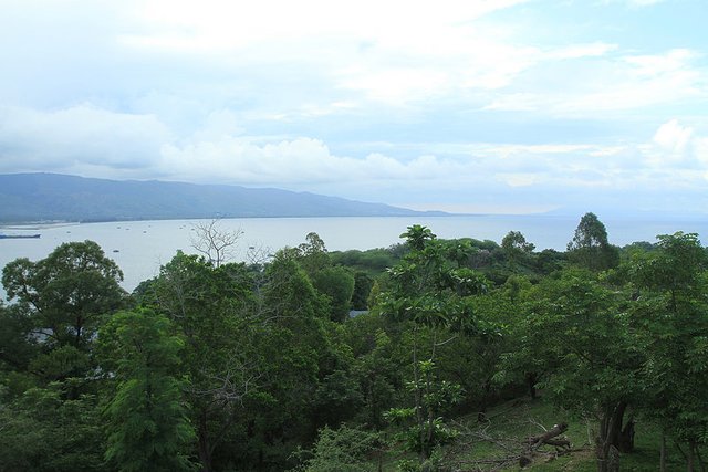
The photos I take 18.11.2016. use Canon EOS 7D camera, EF 17-40mm f/4L USM lens, with the object of photography a panoramic view of Krueng Raya bay and Malahayati port, at Krueng Raya, Aceh Besar, I gave the title to this photo are:
Krueng Raya Bay
In the Krueng Raya bay there is a the port a "Malahayati Port", status as an international port, but it does not look the International flagged ships there, just freighters cement raw materials and fishing boats docked. But the port is very busy after the tsunami hit Aceh on Desember 2004 and for the rehabilitation and reconstruction until 2008. Almost all aid for tsunami victims from various countries unloading activities at the port.
Before the earthquake 9 on the Richter scale and was followed tsunami, this port is used as ferry route connecting to Sabang island.
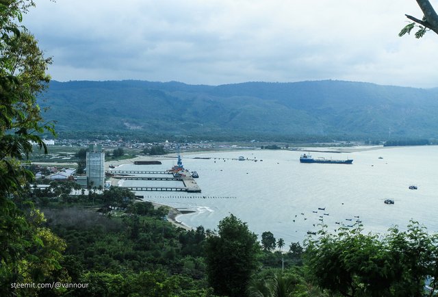
Malahayati Port

I likey. I love photoshop. Nice tips and thanks for sharing. Cheers.
mutual sharing 😉