"tut gut" hiking trail Grafenegg - Route 2: "along the Kamp river"
Here's another "tut gut" hiking trail in the municipality of Grafenegg in Lower Austria.
Two weeks ago I already wrote about the Route 4 "Fünfeckiger Stein", so here's the description of Route 2 "along the Kamp river".
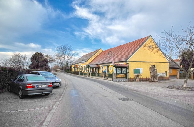
Starting point of this hike is the restaurant Landgasthaus "anno 1920" in Etsdorf, Untere Marktstraße 14. Etsdorf is one of the nine villages the municipality of Grafenegg consists of.
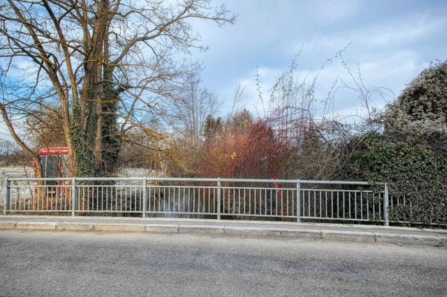
Then you cross the bridge over the "Mühlkamp", a tributary of the Kamp river.
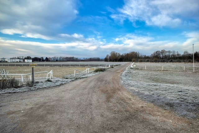
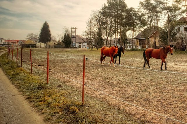
You cross some paddocks.
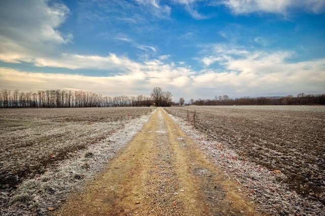
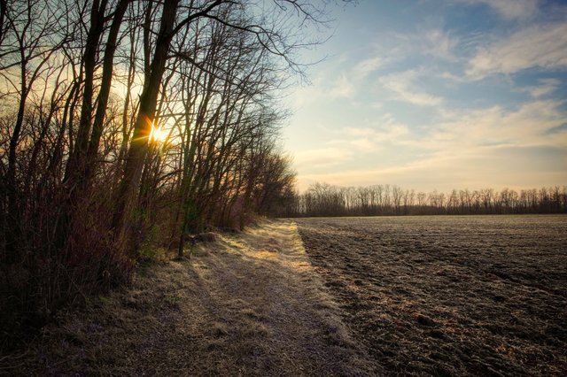
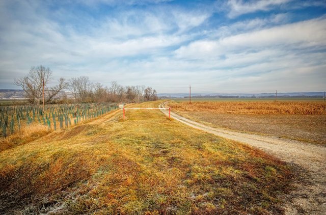
Then you first walk along some fields and finally cross them. Always follow the yellow signposts indicating "Route 2" together with a green dot.
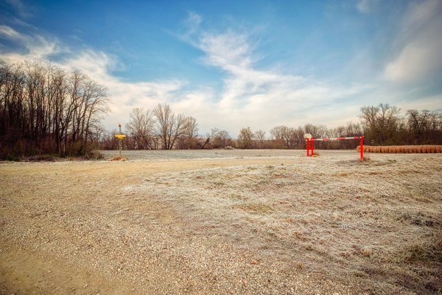
You cross a street, than you walk again a way through a field and finally reach the "Kampdamm", a dam parallel to the Kamp river.
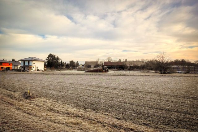
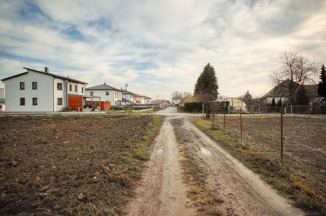
Then you see the first houses of Diendorf, another village that belongs to the municipality of Grafenegg.
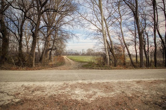
Then you walk the asphalted street in the left direction and cross the Kamp river.
Right after the bridge you have to turn left.
Now you walk along the Kamp river for about three quarters of an hour.
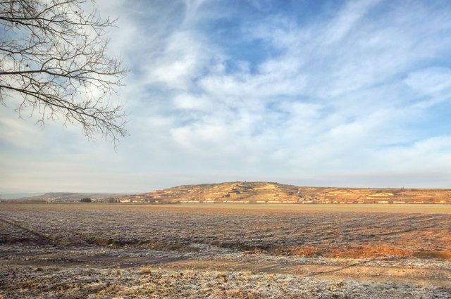
Here you see the Gobelsberg with the lookout tower on top of it. Please read more about the Gobelsberg and the lookout tower in this story!
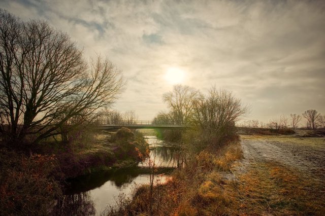
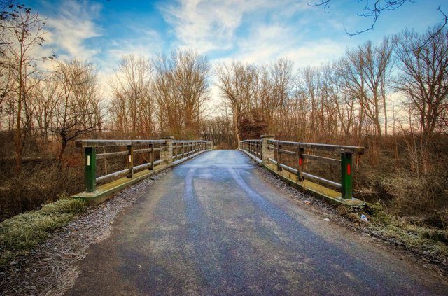
Then you finally reach the "Neue Brücke", a new bridge over the Kamp river. Walk over this bridge.
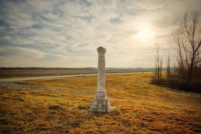
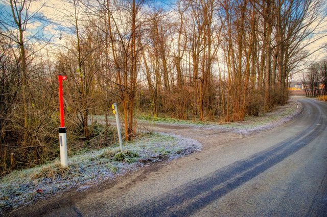
Then you'll see this column on the right side.
On the left side you see the "Kampdamm" again. Now you have to walk back along the dam. I have to confess that I did not like this part of the hike very much, because you always walk between the dam and the fields, but you never see the river.
You leave the dam at the point where you encountered it at the beginning of this hike. Then you walk back in the direction of the starting point, but after crossing the street you turn right and don't walk to the starting point directly.
You walk towards Sittendorf, another one of the nine villages of the municipality of Grafenegg.
But right before the first houses of Sittendorf you turn left and walk to the starting point of this hike, the Landgasthaus "anno 1920".
This hike is not very steep - you only have to cover a height difference of 49 meters. The hike is in total 8.9 kilometers long and the walking time is indicated with 2 hours and 15 minutes. In my opinion this is a quite realistic estimation.
This hike is very suitable for Nordic Walking. If you walk with a stroller or go by bike you'll probably need to make a detour at the last section before the "Neue Brücke".
As this hike is rather meditative and does not offer spectacular highlights I wouldn't recommend it to families with younger children.
The official description can be found on wanderwege.noetutgut.at! Choose "Waldviertel", the "Grafenegg" and finally "Route 2"!
A detailled German description with more photos and a map can be found on my weblog schmatz.blog.
View this post on TravelFeed for the best experience.
Congratulations, Your Post Has Been Added To The Steemit Worldmap!
Author link: http://steemitworldmap.com?author=schmatz
Post link: http://steemitworldmap.com?post=tut-gut-hiking-trail-grafenegg-route-2-along-the-kamp-river
Want to have your post on the map too?