Hike to the Lifjell Transmitter - August 16th 2017
Join me on another mountain top hike
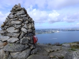
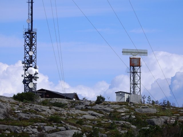
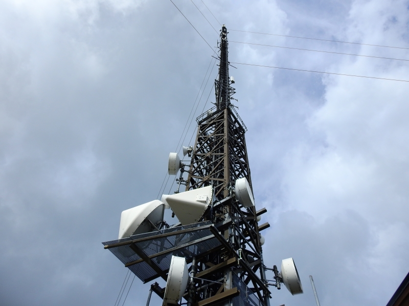
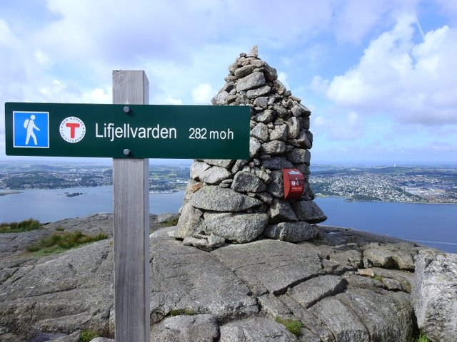
Today I'm taking you to the top of Lifjell mountain where we have the TV & Radio Transmitter and a radar.
But in ancient times there was a big grumpy troll at Lifjell. The troll was very upset about the construction of churches and other God worshipping in the area. One day it became so angry that it threw huge boulders against Stavanger and Hommersåk. One of the boulders was close to hitting the old 10th-century cathedral in Stavanger, and made a hole in the ground that later became Breidavatnet. Another stone, the Trollstone, lies today near the Riska Old Church in Hommersåk.
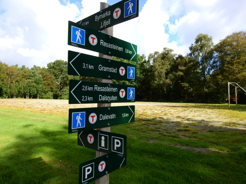
Parked my car next to Kolonialen Cafè where this info sign is. Open the original image and zoom inn to see all the different hiking trails you can choose from here.

Original (4608x3456)
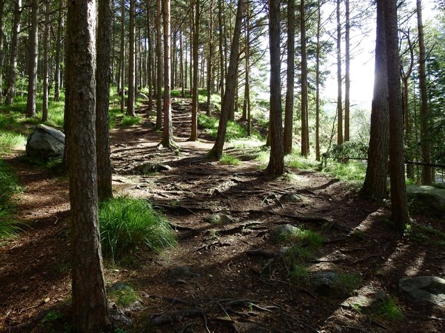
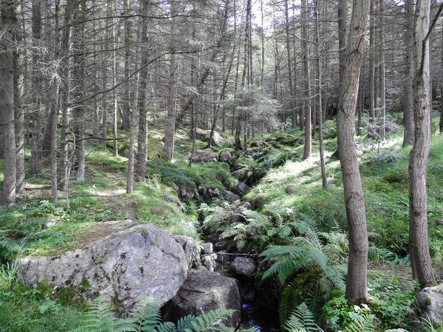
Stavanger Turistforening have done a great job putting up signs all along the trails. We are taking the trail to Dalevatn lake and from there up to Lifjell
Original (4608x3456)
Dalevatn lake
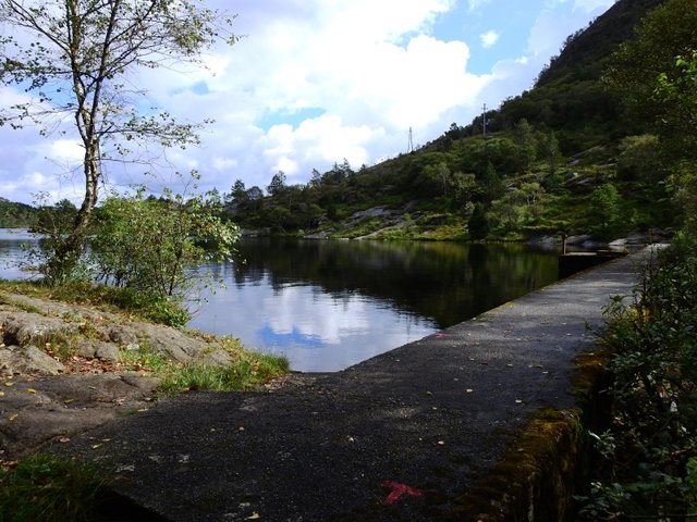
Original (4608x3456)
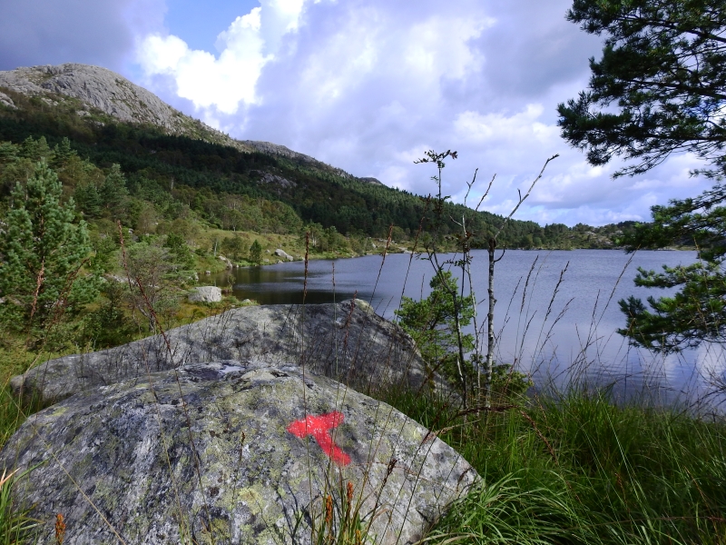

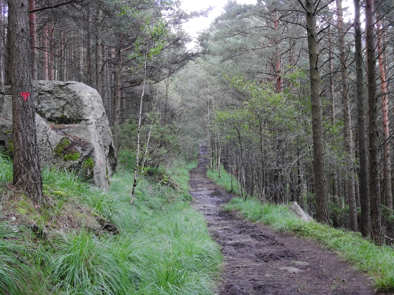
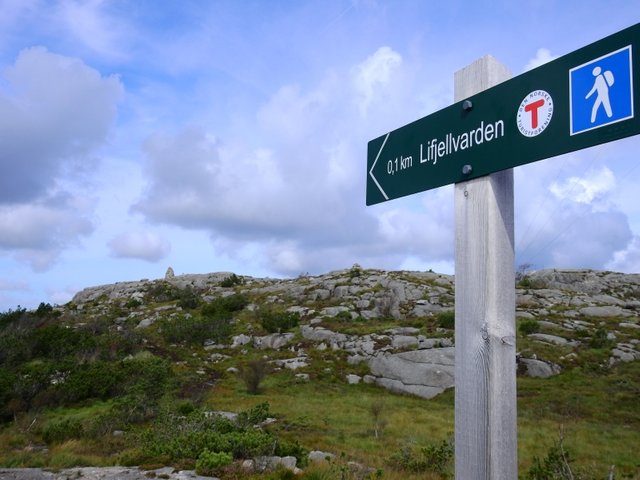
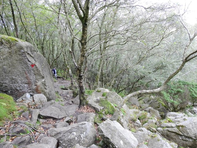
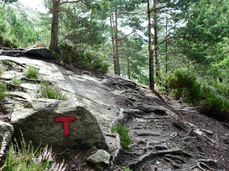
Follow the red T's up the these stones
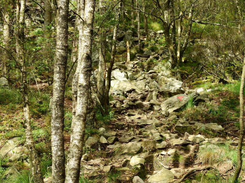
Original (4608x3456)
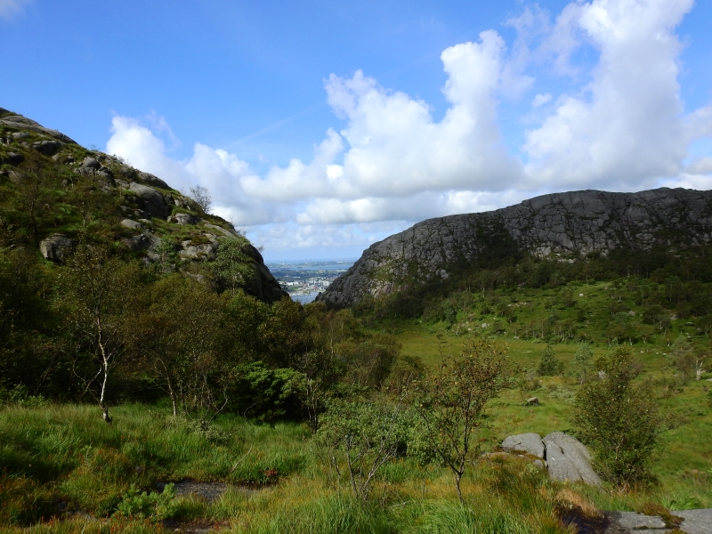
The transmitter in the distance
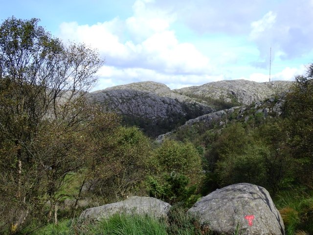
Original (4608x3456)
Viking Football (soccer) stadium
Original (4608x3456)

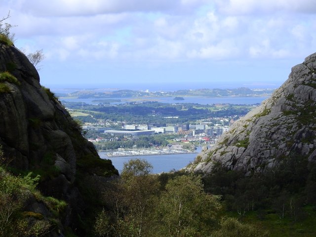
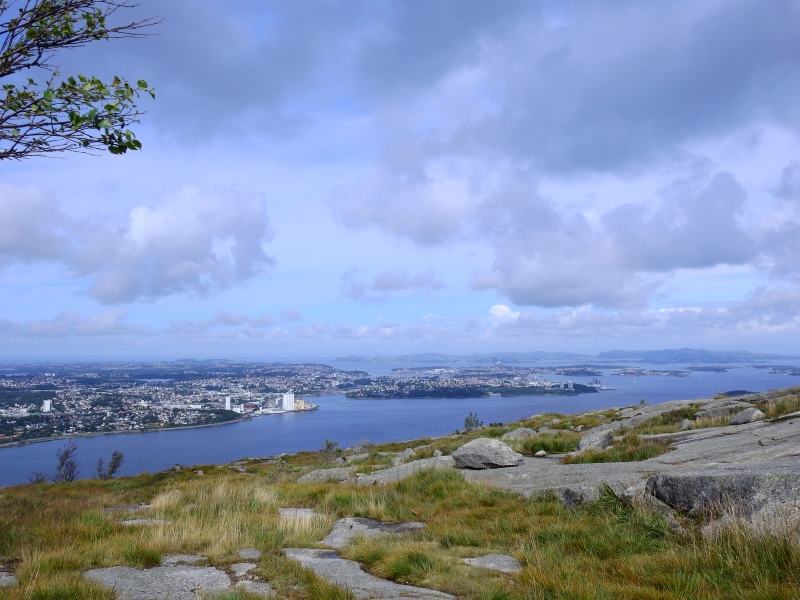
View over Stavanger
Original (4608x3456)
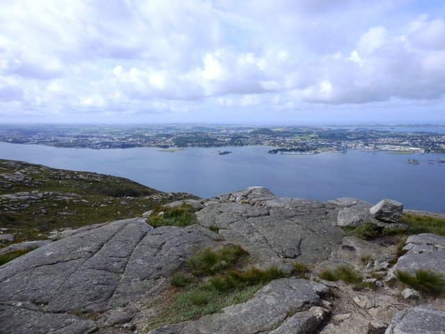
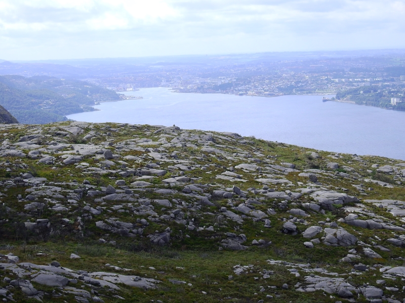
View out over the flatlands of Sandnes and Jæren
Original (4608x3456)
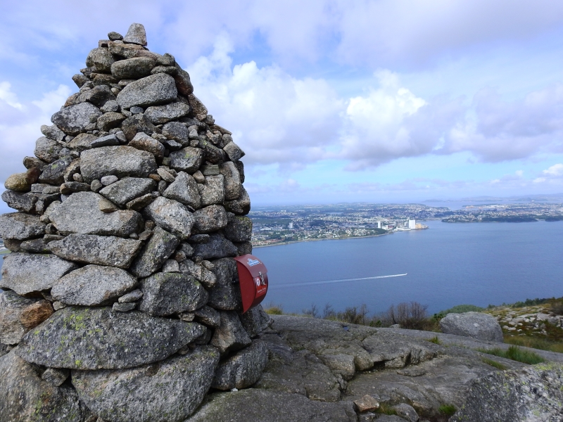
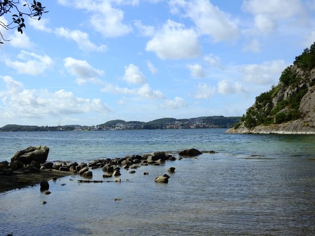
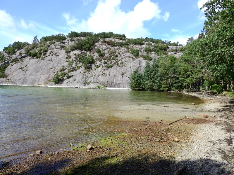
From the top of the mountain all the way down to the sea.
Original (4608x3456)
Well, thats it for this hike, follow to see where I go next time.
I hope @shockwave and @marehalm joins my next hike.
Location: Lifjell, Sandnes, Norway
Camera: Nikon P900
No filter have been used
No editing have been made to these photos
Photographer: @flatman
Latest Post:
Vanessa Atalanta
Good job. Looks like a long walk dude 🤤
Thx, man! Actually this hike only took 2,5 hours ;)
Thanks For share
Follow and upvote...........Same needed from you......
I would also like to take a hike there for the nice scenery. What are those red T signs for? 😁
the red T's are signs to guide you trough the hike, follow the T's and you'll end up where you started. put up by the local Tourist association :)
So that was its purpose. Thanks for answering 😁
Great job documenting your hike! This looks like a really nice area to take photos :)
Thanks :) I see you got the hang of your camera, you should come take some good pictures here. I'm new to the camera world, so I don't have the hang of it all yet. will definitely get some inspiration from you :)
i always love hiking <3 take me with you hehe :D flatman
Come up here and I'll take you on a hike or two ;) here is a follow up story on the troll story, its not a hike but you might like it anyway Stavanger Cathedral