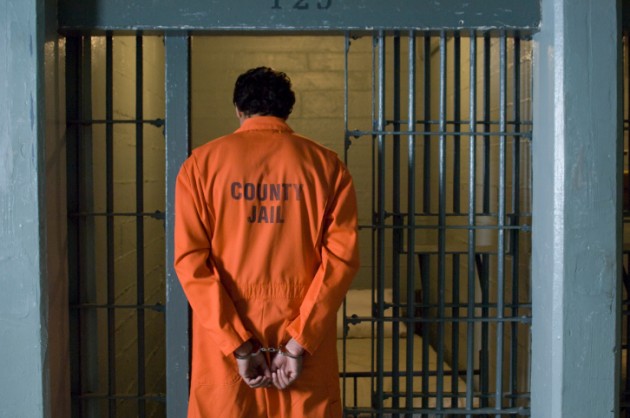
HOW TO CATCH A CRIMINAL USING GEOSPATIAL TECHNIQUES
Geographic Information System (GIS) is the acquisition, display, integration, analysis, and dissemination of spatial information about the Earth using geographically referenced data.
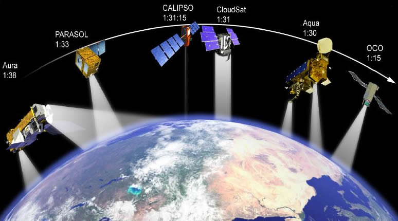
Remote Sensing is simply the acquisition of information about the earth surface without any physical contact.

Over the years development in satellites technology especially the birds-eye view of satellites equipped with high resolution sensors and communication satellites with multi transponders has provided critical datasets as well as the necessary communication means to adequately monitor and managed crime in the country.
The use of technological resources has moved the crime mapping and monitoring into the 21st century of law enforcement. Available devices enable both operational and tactical components of strategic planning to effectively apprehend and accurately track the criminals and pattern of the modus operandi
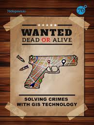
The need for effective utilization of IT in public safety management is increasing in today’s world. GIS can be used to identify the hotspots of crime as well as to facilitate development of investigation preference strategy for policing
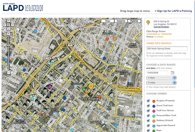
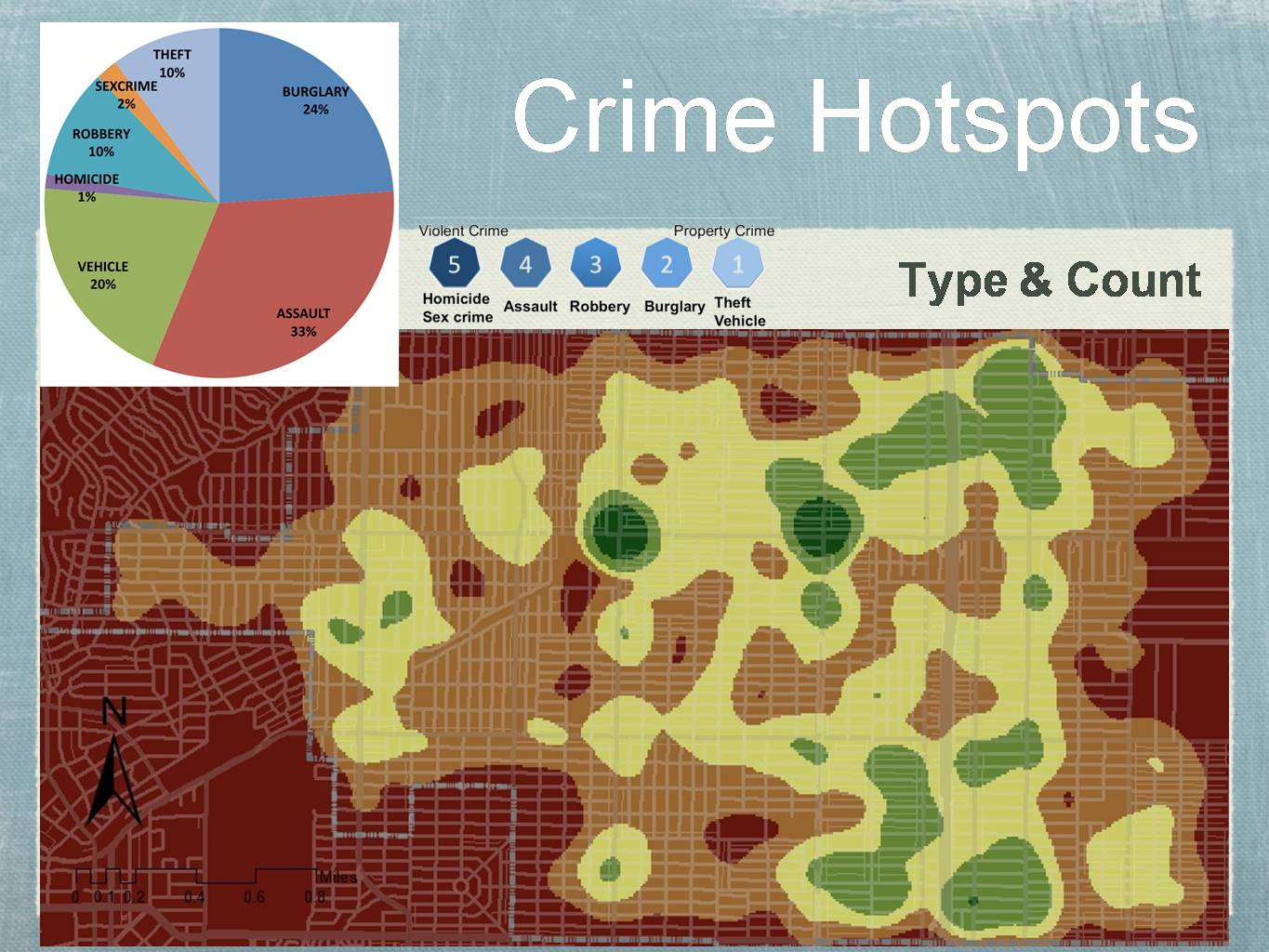
The use of GIS for crime mapping facilitates mapping, visualization and analyses of crime hot spots along with other trends and patterns. It is a key component of crime analysis and the policing strategy. GIS uses geography and computer-generated maps as an interface for integrating and accessing massive amounts of location-based information. GIS allows police personnel to plan effectively for emergency response, determine mitigation priorities, analyze historical events, and predict future events.
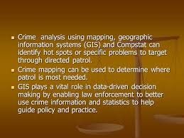
Crime mapping is used by analysts in law enforcement agencies to map, visualize, and analyze crime incident patterns. It is a key component of crime analysis and the CompStat policing strategy. Mapping crime, using Geographic Information System (GIS) allows crime analysts to identify crime hot spots, along with other trends and patterns.
Using GIS, crime analysts can overlay other datasets such as census demographics, locations of pawn shops, schools, etc., to better understand the underlying causes of crime and help law enforcement administrators to devise strategies to deal with the problem. GIS is also useful for law enforcement operations, such as allocating police officers and dispatching to emergencies.
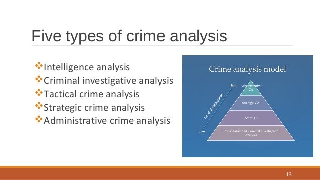
Crime analysts use crime mapping and analysis to help law enforcement management (e.g. the police chief) to make better decisions, target resources, and formulate strategies, as well as for tactical analysis (e.g. crime forecasting, geographic profiling).
REFERENCES
A GIS Analysis of the Relationship between Criminal Offenses and Parks in
Kansas City, Kansas, Cartography and Geographical Information Science, Vol. 33, No. 2, 2006, pp. 141
GIS Tutorial for Crime Analysis. ESRI Press California, U.S.A. 2012
Tourism destination management information systems, tourism management, Singidunum
University, Belgrade, Serbia
World Bank Conference (2000): African Regional Roundtable on Upgrading Low-income Settlements.
Johannesburg, South Africa October 3-5 2000, p. 16.
GIS and Crime Mapping. Director of Geographic Information, UCL JILL,Dando Institute
of crime Science.
vote me my id muhammad67 i vote u