Google eartVs real Traveling through the municipality of Montes-Cumanacoa Venezuela with Google eart references.
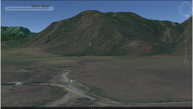
Google Eart GPS Position: 10 ° 14'31.93 "N - 63 ° 56'25.85" W
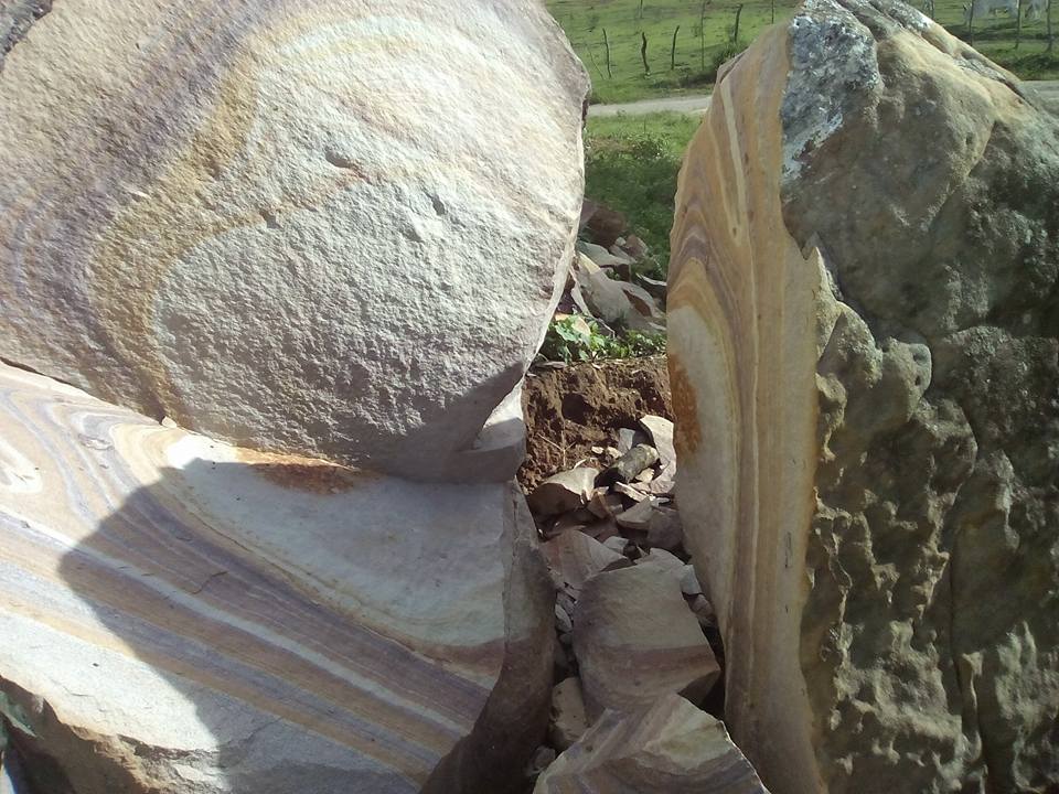
This other image is of a stone that was exploded by fire.
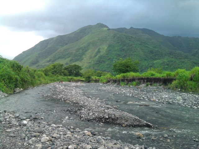
This image was taken in the town of Cocollar state sucre Venezuela.
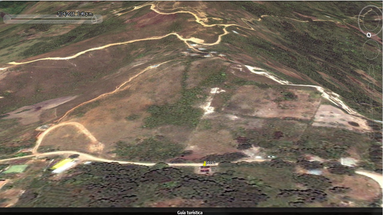
In this photo I took from a house near the mountain, the only problem was that I took this and left my vehicle LOL.
The mountains that are in the background, are intended for planting and raising animals (cows, bulls, donkeys, goats), this is a quite comfortable and cold climate field.
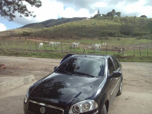
10 ° 10'32.84 "N- 63 ° 49'40.85" W
amazing
Thanks. :D
wow
:D Tanks Lady.
Resteemed to over 15400 followers and 100% upvoted. Thank you for using my service!
Send 0.200 Steem or 0.200 Steem Dollars and the URL in the memo to use the bot.
Read here how the bot from Berlin works.
We are happy to be part of the APPICS bounty program.
APPICS is a new social community based on Steem.
The presale was sold in 26 minutes. The ICO will start soon.
Read here more: https://steemit.com/steemit/@resteem.bot/what-is-appics
@resteem.bot