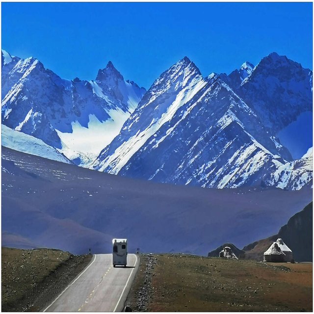
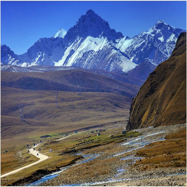
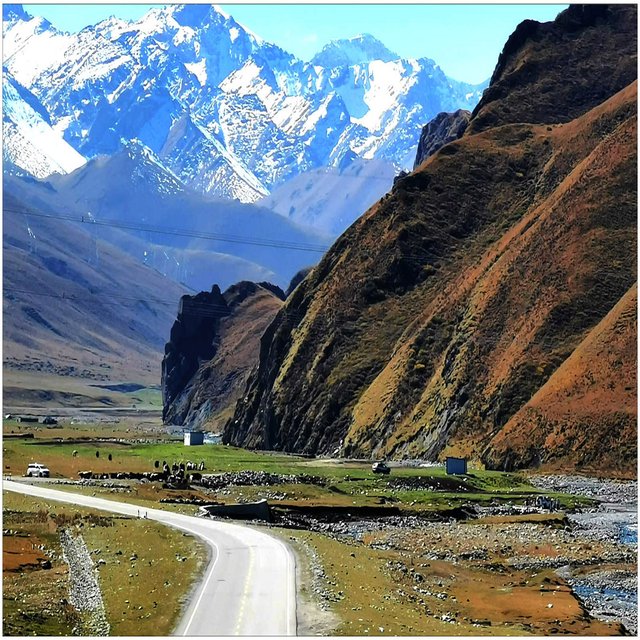
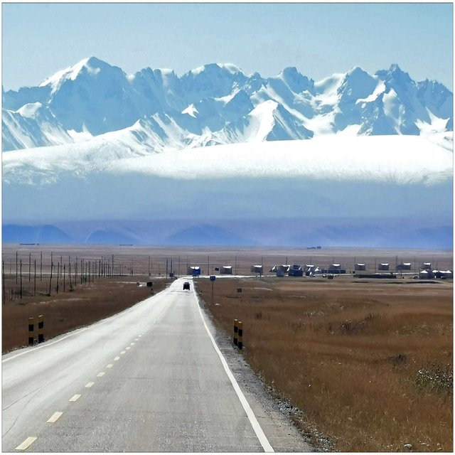
The magnificent tianshan scenery
The tianshan mountains are composed of three roughly parallel mountains, among which the northern tianshan mountains are alatao mountain,
Borokonu mountain (borokonu mountain) and irenhabirga mountain, middle tianshan mountain has wusun mountain, narathi mountain and erbin mountain, south tianshan mountain has kekshal mountain, halketau mountain, kektieke mountain and hora mountain, east tianshan mountain has bogda mountain, balikun mountain and kallik mountain and so on.
In the tianshan mountain system, there are about dozens of peaks above 5000 meters above sea level. In addition to the highest peak, tomur peak, there are mainly the sino-kazakh border peaks, khantengeli peak, bogda peak, vasky pekeveri mountain, draskeba mountain, surezi mountain, shikatie east peak, zihabazan mountain, etc.
Bogda peak, 5445 meters above sea level, is located in fukang city, xinjiang uygur autonomous region at 88.3 degrees east longitude and 43.8 degrees north latitude.The mountain peak 3800 meters above is the year round does not change the snow area, white snow, it has "snow sea" said.
Tomur peak is located near the border between China and kyrgyzstan in wensu county, aksu region, and belongs to the tianshan mountains.The sea dial is 7443.8 meters."Tomur" means "iron" in uygur.Tomur peak is the first peak of tianshan mountain and is listed as a national comprehensive nature reserve.
KhanTengri lies on the boundary between the People's Republic of China and kazakhstan at 80.2° e and 42.2° n.
It is the second highest peak of the tianshan mountains, at the junction of the kirkshalle ridge and the halk mountain in the tianshan mountains, with an elevation of 6,995 meters.It is adjacent to tomur peak in the east, isaik lake basin in kyrgyzstan in the west, ili river valley in the north, and aksu oasis in the north edge of tarim basin in the south.Khan tenggeli mountain area high terrain, the elevation of the mountains in 4000 meters above sea level, 6000 meters above the peak up to 40, large areas outstanding above the snow line.
On the north side of tiangerfeng, there is no. 1 glacier of urumqi heyuan in tianshan mountain, which is located in the middle of tianshan mountain in nanshan district of urumqi, 118 km away from urumqi.It was formed in the third glacial period, about 4 million years ago.The shape of the glacier is a double-branch iceberg glacier. The upper limit of the glacier is 4474 meters above sea level and the end of the ice tongue is 3790 meters above sea level. The length of the glacier is 200 meters and the area is 1.74 square kilometers.
The chu river is a river in kyrgyzstan and kazakhstan.Chu river originates from tianshan mountain. It is an internal river with a total length of 1067 kilometers and a drainage area of 62,500 square kilometers.
The syr river is the longest river in central Asia, with two sources, the naron river on the right and the karadaria river on the left.The naron river originates in the middle tianshan mountains, the cherskai aradose and the akshi two mountains, the river flows from east to west, about 20 km east of the namangan and the karadaria river is called the syr river.The main stream flows first to the southwest, then to the northwest at bekabad, and finally enters the aral sea at about 75 km from new hopiolsk.The river flows through kyrgyzstan, uzbekistan, tajikistan and kazakhstan, with a total length of 3,019 km and a basin area of 219,000 km. The average annual discharge in the estuary is 1060 m3 / s and 33.6 billion m3.