The Earliest Map to Suggest the Existance of Australia by: Benito Arias, 1572
By: Benito Arias
Date: 1572 (published) Antwerp
Dimensions: 12.5 x 21 inches (31.75 x 53.5 cm)
This is an authentic antique map of the world by Benito Arias, most commonly known as Montanus. The map was prepared for the 8 volume Poyglot Bible out of Antwerp in 1571. This example is the second state of the map published in 1572.
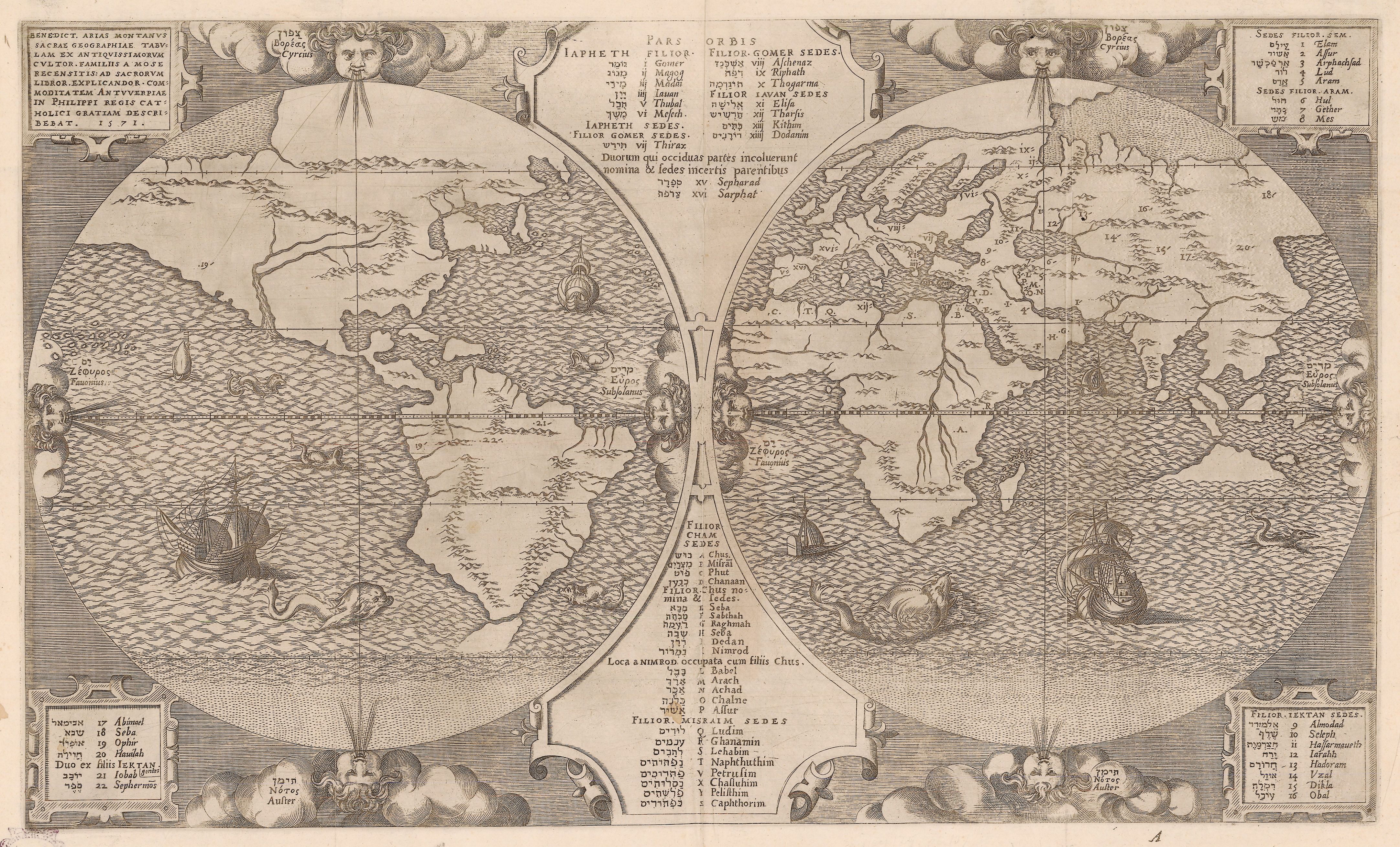
This thematic, double-hemisphere map of the world was designed to depict the dissemination of the various Tribes of Israel and the descendants of Noah whom were responsible for repopulating the world after the great flood. Symbols correspond with Latin and Hebrew text to aide in this maps function as a theological reference. While the motivation behind the map was to aide in religious geography, it’s the physical geography that makes this map one of the most intriguing world maps to come out of the mid-16th century.
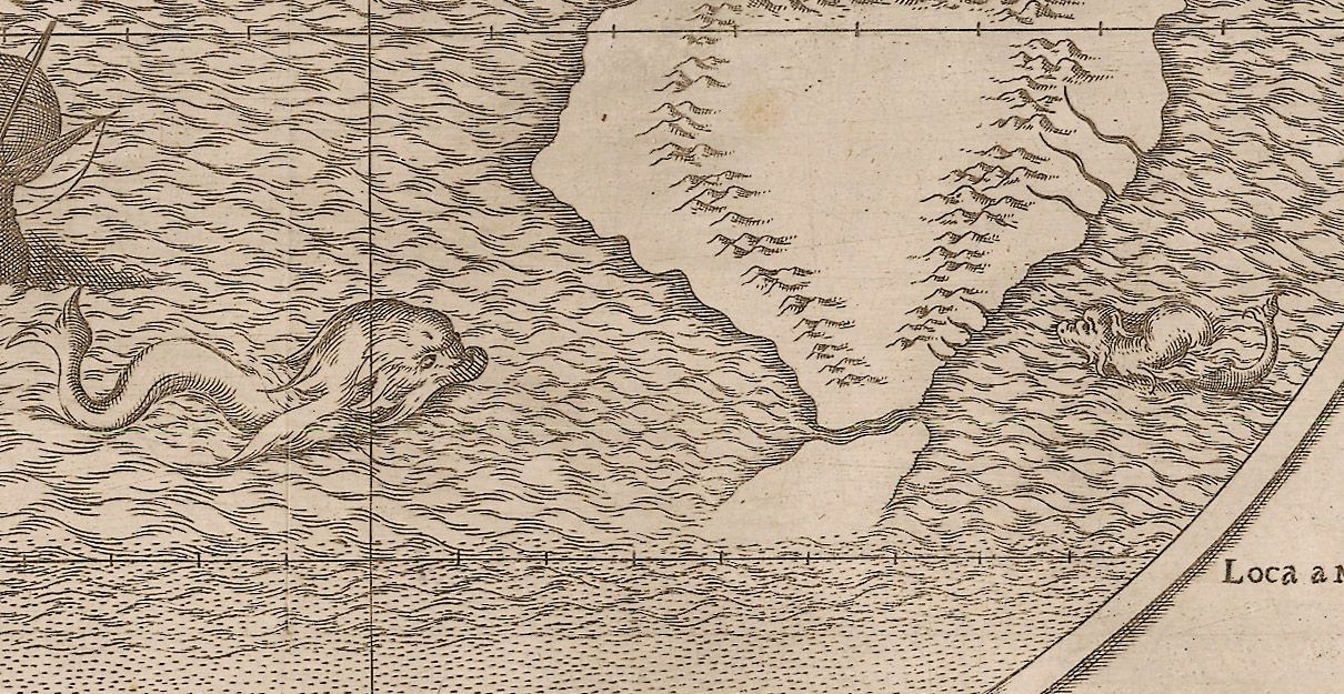
The most famous geographical aspect of the map is the large land mass that appears to be rising out of the ocean just below the island of Java. This mysterious land mass has been is believed by many to be Australia, which at first seems difficult to believe as the first undisputed sighting of the continent by Europeans was made in 1606 by the Dutch vessel Duyfken captained by Willem Janszoon. However, upon further research, one would learn of the Dieppe Maps of the 1540s, which are based on Portuguese charts that illustrate a large land mass south of the Island of Java. Montanus may also have been familiar with the journals of Ludovico di Varthema, whom during a visit to Java learned of people to the south that navigated by way of the stars, which could have very well been factual accounts of Aboriginal navigators. Exactly how Montanus came to include this large land mass may never be known, but its location, shape, and size, along with the information to suggest its existence available to the map maker provide a compelling argument to claim this map is the first to provide a printed depiction of Australia, over thirty years prior to its European discovery.
Similar to the mysterious land mass some call Australia, this map may also be the first printed world map to show Tierra del Fuego as an island off the southern tip of South America. Most maps of the era connected Tierra del Fuego to a large, speculative, polar land mass commonly referred to as Terra Australis, Terra Incognita, or Terra Magallanica. This massive southern continent found in most early world maps stems from a theory of “Counter Balance,” supported by Aristotle, which suggested the existence of some massive southern continent to balance the Asian continent in the northern hemisphere. Montanus obviously was not a believer in such a theory and shows it in the way he presents the most southern reaches of the world as a blur of unknown dashes, not even suggesting that the South Pole may just be ocean. Thus, with no southern polar continent to attach Tierra del Fuego to, the land passed by Magellan is for the first time depicted as an island.
The third and final geographical depiction worth noting ties into the theological theme of the map. As one studies the symbols noting the locations of various biblical lands throughout the map, they will notice that Ophir, Sephermos, and Iobab (Job) have been placed in the New World. Interestingly, the New World has been connected by a massive land bridge spanning from Northeast Asia to Northwest America. Ophir is known for being the location where Solomon obtained the gold needed to build his temple. It is noted both in North and South America, suggesting that Ophir is one of the two possible sights, or just one great land. Either way, Montanus suggests that the Phoenicians may have utilized their skilled maritime people to reach as far as the western coasts of the New World as it would have been even more improbable for Solomon to transport all his gold across the massive land bridge.
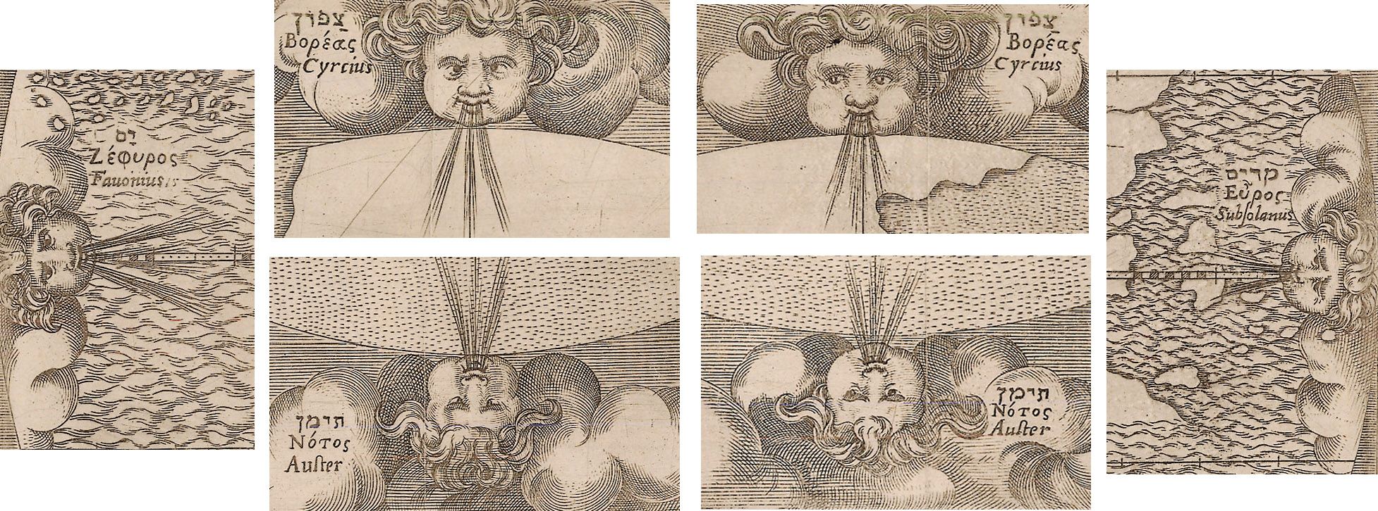
This map exists in three states; the first state printed in 1571 has the words Orbis Tabula. Ben. Aria Montano. Auctore printed on the verso. Most of the copies of the first state were lost at sea by a ship carrying them to Spain. The second state, printed just a year later can be identified by the word gentes added to the word lektan in the lower left reference key. The third state can be identified by noticing the top left wind head named Cyrcius is looking with eyes only to the left. A later publication of the map on an entirely newly engraved plate came out of London circa 1660.
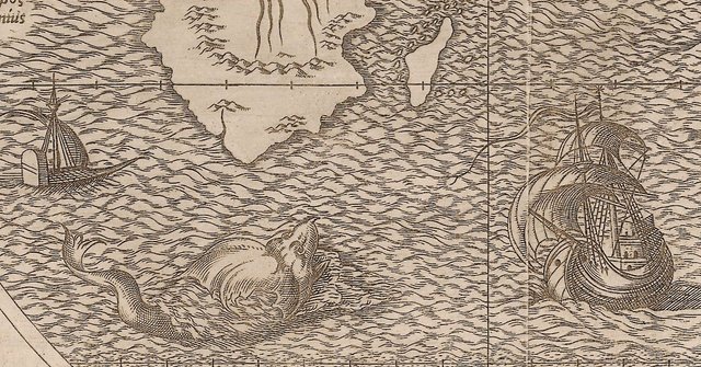
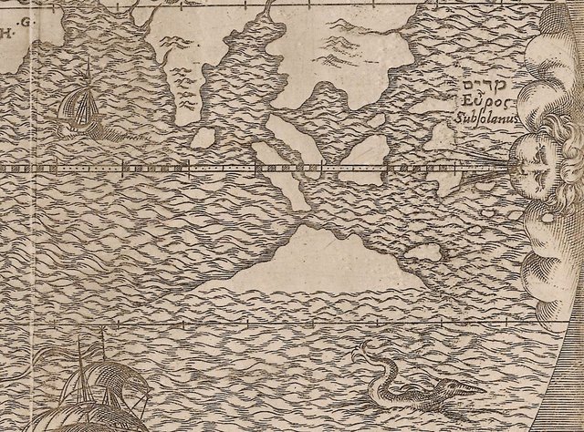
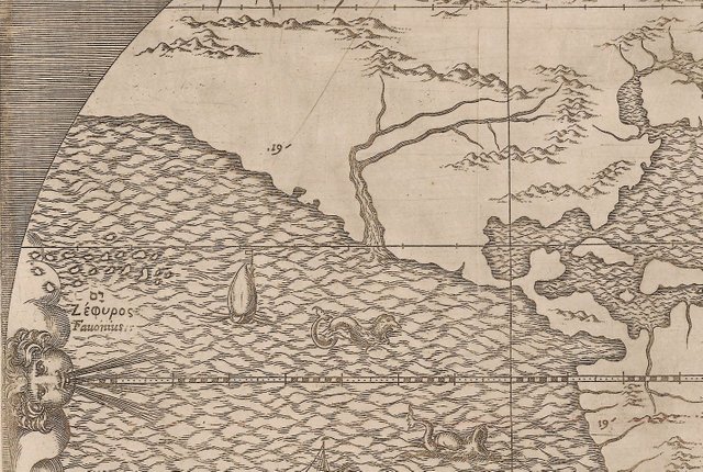
Decorating the map are sailing ships with no obvious origin, numerous interesting sea monsters, and eight wind heads blowing from all cardinal directions. The wind heads are named in Latin, Hebrew, and Greek.
Like antique maps, and history? Follow me on Steemit or visit my website (https://www.hjbmaps.com)
This post has received a 77.48% upvote from @msp-bidbot thanks to: @mapman5000. Delegate SP to this public bot and get paid daily: 50SP, 100SP, 250SP, 500SP, 1000SP, 5000SP Don't delegate so much that you have less than 50SP left on your account.
You got a 0.92% upvote from @postpromoter courtesy of @mapman5000!
Want to promote your posts too? Check out the Steem Bot Tracker website for more info. If you would like to support the development of @postpromoter and the bot tracker please vote for @yabapmatt for witness!
9.83% @pushup from @mapman5000
You got a 1.57% upvote from @buildawhale courtesy of @mapman5000!
If you believe this post is spam or abuse, please report it to our Discord #abuse channel.
If you want to support our Curation Digest or our Spam & Abuse prevention efforts, please vote @themarkymark as witness.
Thanks for saying '30 years prior to [Australia's} European discovery' as our great continent was discovered over 80,000 years ago by Indigenous Australians.
👍
Ha! I always make a point to recognize the historical accomplishments of indigenous people. One of my biggest pet peeves is hearing that "America was discovered in 1492."
Thank you mapman5000 for making a transfer to me for an upvote of 6.40% on this post!
Half of your bid goes to @budgets which funds growth projects for Steem like our top 25 posts on Steem!
The other half helps holders of Steem power earn about 60% APR on a delegation to me!
For help, will you please visit https://jerrybanfield.com/contact/ because I check my discord server daily?
To learn more about Steem, will you please use http://steem.guide/ because this URL forwards to my most recently updated complete Steem tutorial?
Sneaky Ninja Attack! You have been defended with a 7.33% vote... I was summoned by @mapman5000! I have done their bidding and now I will vanish...Whoosh
I love old maps and stories that accompany them. Especially the cartographic style. Infact, I've been wanting to post some stories on Steemit too! In today's world of satellite mapping and GIS, we've lost the charm that comes with the rendering styles and colours of old maps.
I love how the purpose of this map was to map religious tribes but the appearance of a part of what we know as Australia today is seen! It would also be interesting to add at which point Australia appeared on the map as we know it today.
Love your work!
A some point, I will post a map showing the earliest account of Europeans (the Dutch) mapping a portion of Australia, which they thought was Guinea.
To your earlier point, I exhibit at the American Association of Geographers (AAG) conference. My booth is always slammed with people in the field of GIS that have never seen the old maps.