25 Years of Global Sea Level Data, and Counting
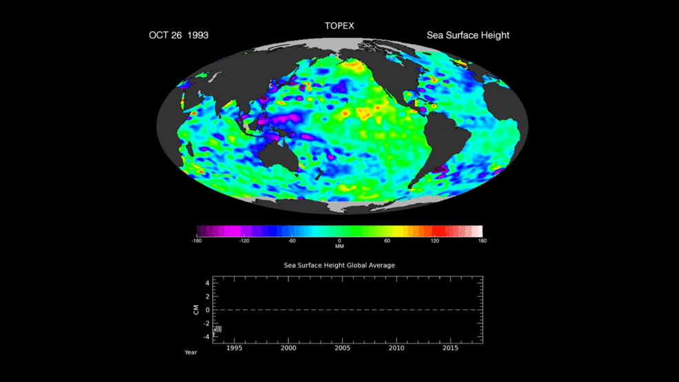
Today marks the 25th anniversary of the launch of a revolutionary ocean research vessel -- a space "ship." As the NASA/CNES Topex-Poseidon satellite ascended into orbit, it ushered in a new era of oceanography with the first highly accurate, global measurements of sea levels. That mission and its three successors, all named Jason, have continuously mapped global ocean currents and tides; opened our eyes to the global reach of El Niño and other climate events; created a quarter-century-long, extraordinarily precise record of global and regional sea level rise; and enabled improved forecasts of extreme weather events such as hurricanes, floods and droughts.
Ocean Currents
This is an animation of ocean surface currents from June 2005 to December 2007 from NASA satellites. Watch how bigger currents like the Gulf Stream in the Atlantic Ocean and the Kuroshio in the Pacific carry warm waters across thousands of miles at speeds greater than four miles per hour (six kilometers per hour); how coastal currents like the Agulhas in the Southern Hemisphere move equatorial waters toward Earth's poles; and how thousands of other ocean currents are confined to particular regions and form slow-moving, circular pools called eddies.
sourcehttps://www.nasa.gov/feature/jpl/25-years-of-global-sea-level-data-and-counting