Ben Nevis - Tourist route up the tallest point in the UK
Ben Nevis is the highest point in the UK, located in the Lochaber area of Scotland. At a height of 1345 meters (4411 ft) it may not be too high in terms of altitude but with numerous fatalities each year and home to some of the world most difficult rock climbs it shouldn't be underestimated!
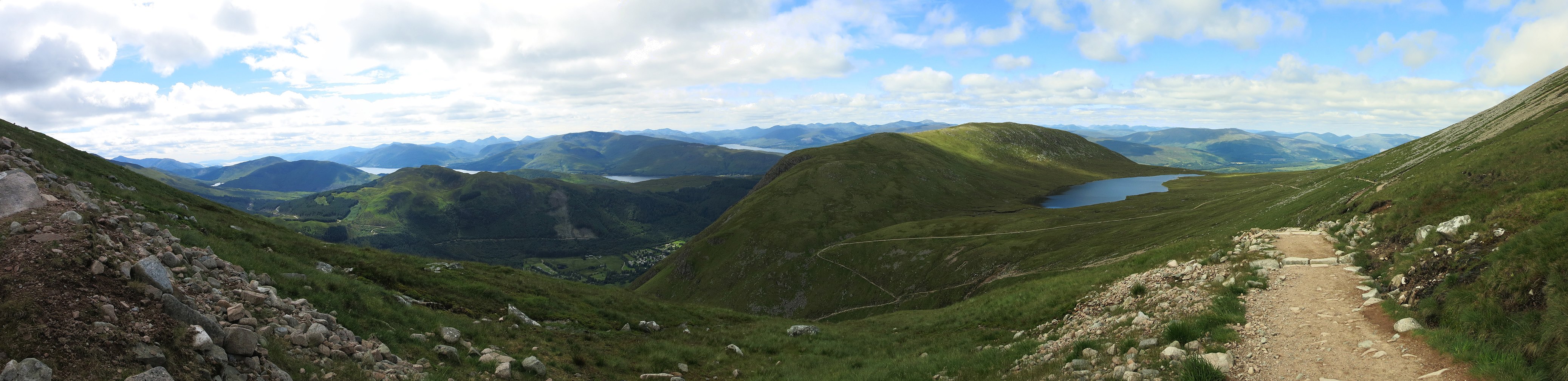
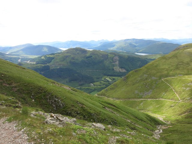
Amazing views - looking back towards the plateau and Loch Meall
The main route up to the summit is the 'Tourist' route - this is the one we took - but don't let the name fool you. It is a long and strenuous walk. It is recommended that inexperienced walkers only do this trail between May and September on good weather days.
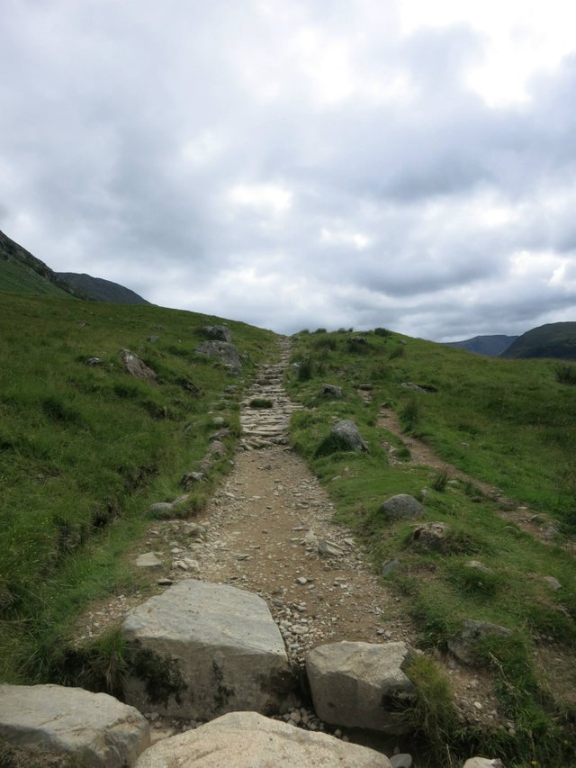
Near the start
The day we did the trail, was a bit of a manic one! It had originally been planned as a travel day from the Lakes to Scotland. However, the weather forecast for Ben Nevis on the day we wanted was now forecast heavy rain and gales, along with the following days we were in the area. Not knowing the route, we decided that it wouldn't be safe for us to complete in those conditions.
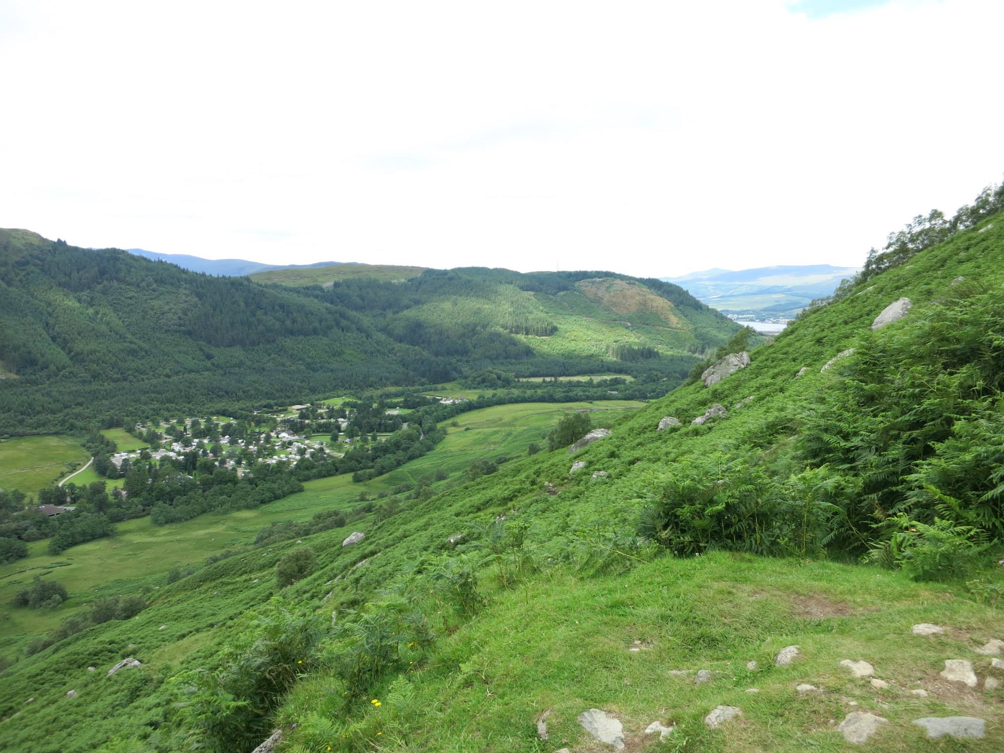
Looking back towards the direction of the youth hostel
So... we could either call it off or... get up super early, make a 6 hour drive from the Lakes to Scotland and climb Ben Nevis (typical time 7-9hrs to complete) in the same day. We chose the latter!
Waking at stupid o'clock, we made our way to Scotland. We arrived at about 1pm, parked and started at the Glen Nevis visitor center. We had an issue though. Him indoors had an injury, a large lump had appeared near his ankle. Wearing his walking boots only aggravated it, so... refusing to let it beat us, he donned his trainers (I know... hardly ideal) and crossed the bridge starting the trail. We followed the river bank for a bit, then from here we passed by the youth hostel and started to ascend on the main trail.
Follow me
The path is your typical trail in the UK, fairly well defined with rocks for steps. The trail was deserted! I kept checking the GPS and maps we had just to make sure we were on the right trail. All seemed ok. About an hour in there was still no one in sight, so checked again. Still... seemed all ok. I started to think that maybe there was something we missed... why wasn't there anyone there? There were plenty of cars in the parking area so where had all the people disappeared to?
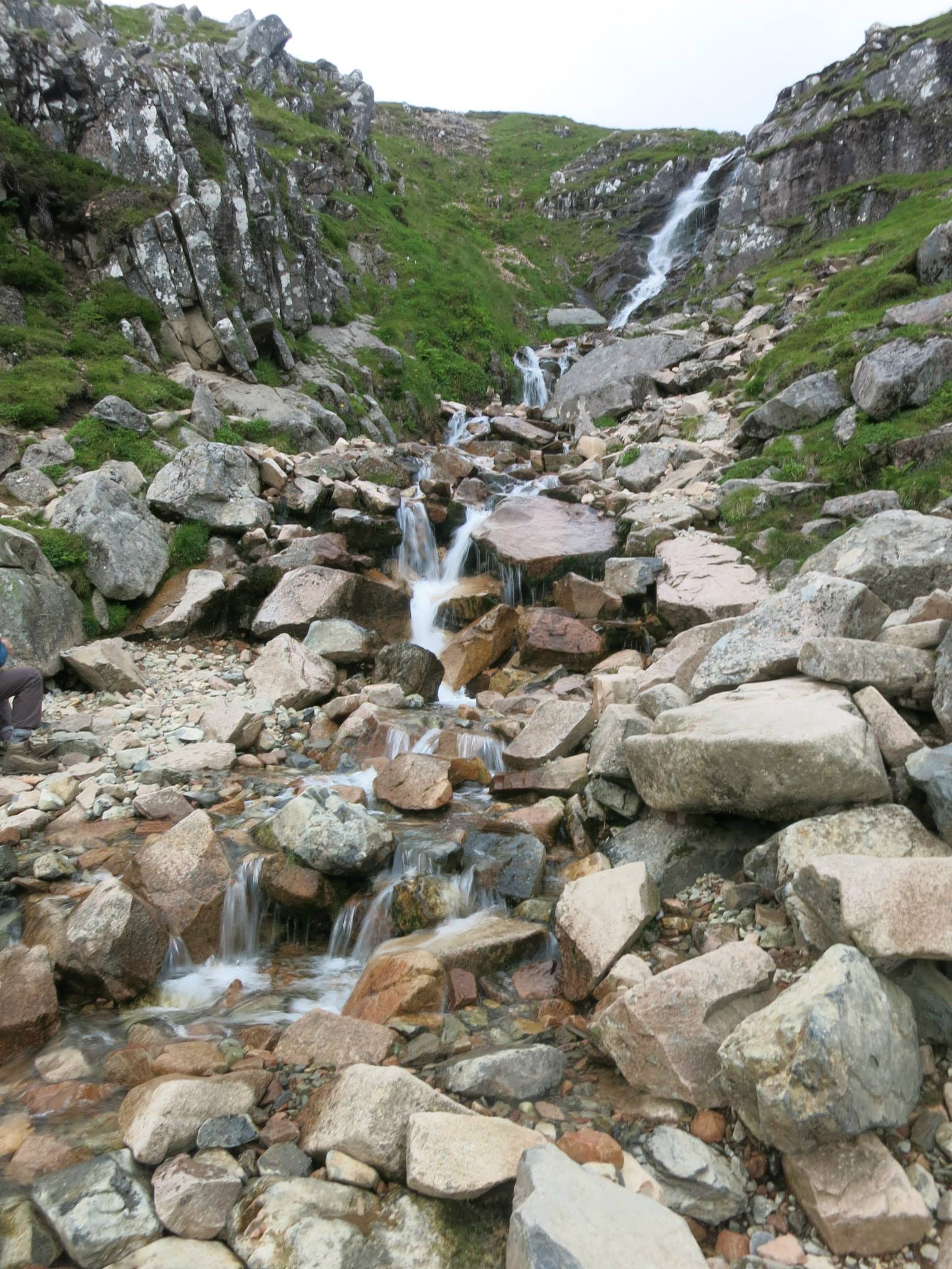
Waterfall on the way up
It was about an hour and a half in that we finally saw people... lots of them... all heading down. The it dawned on me that they must have started early and all be heading down. It wasn't until we were quite far in that we started to see others that were still going up... phew!
You can see the trail and the early switchbacks
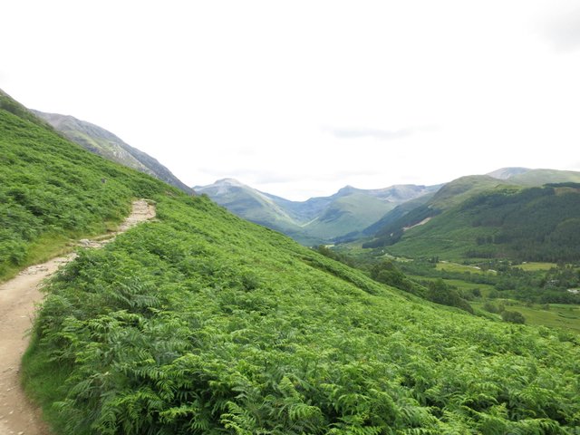
The higher we went, the bigger the skies got and the more beautiful the views were. It was hard not to stop too often to admire them, but we knew we were on the tightest of schedules if we wanted to get up and down in the light. We pushed on.
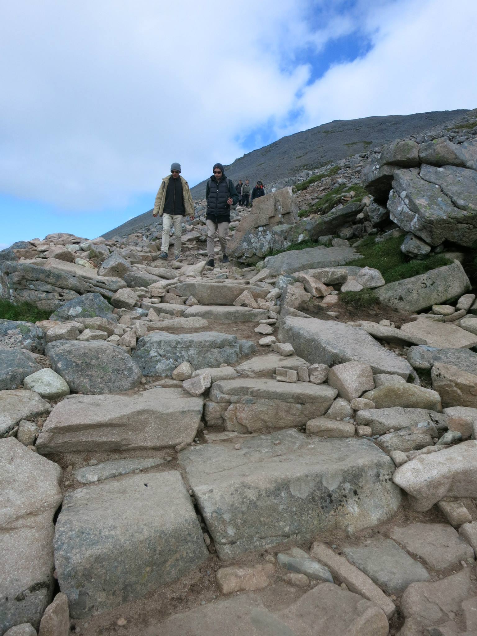
Tricky path nearing the top
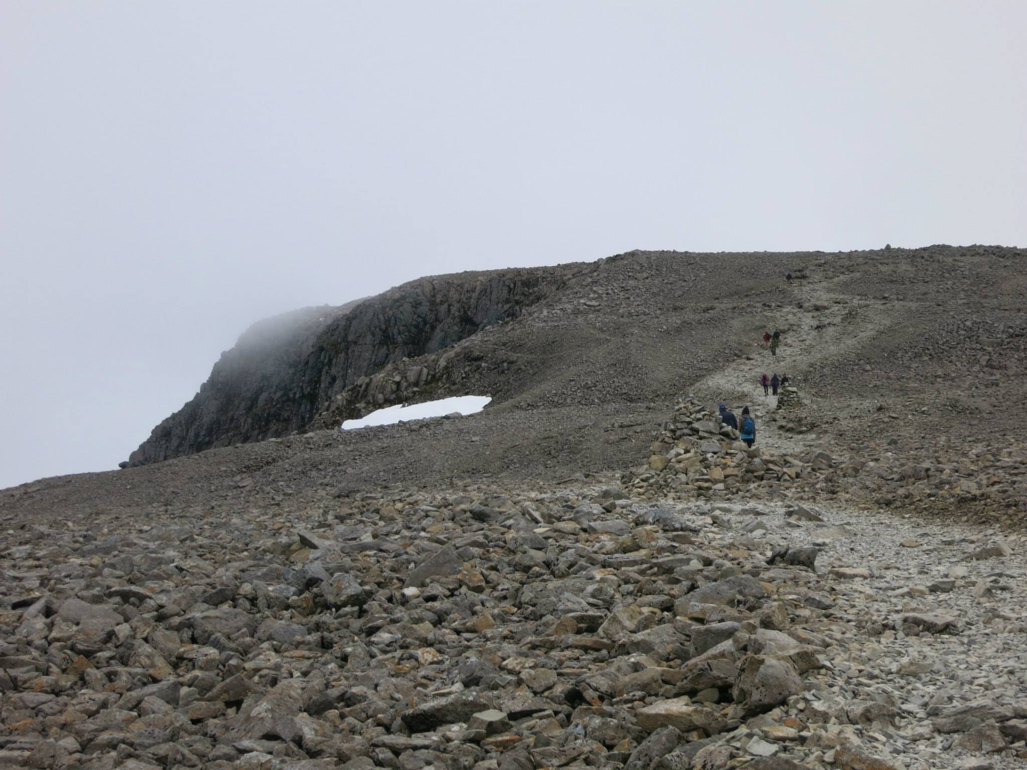
The trail hits a plateau where Loch Meall sits. Known as 'half way lochlan' you could get excited, however you aren't halfway up yet, and after this point is when the trail gets a whole steeper!. The trail leads away from here and has a multitude of switchbacks and turns from a 'path' to more loose stones, scree and boulders. The views were amazing, but we had to keep going.
Enjoying the views
Pushing on we were greeted by some snow near the top - yes... even on 31st July there was still snow up here! Just a little further and we finally reached the summit. The skies were fairly clear - so we were lucky - it's said that the summit is only clear 1 in 8 days!
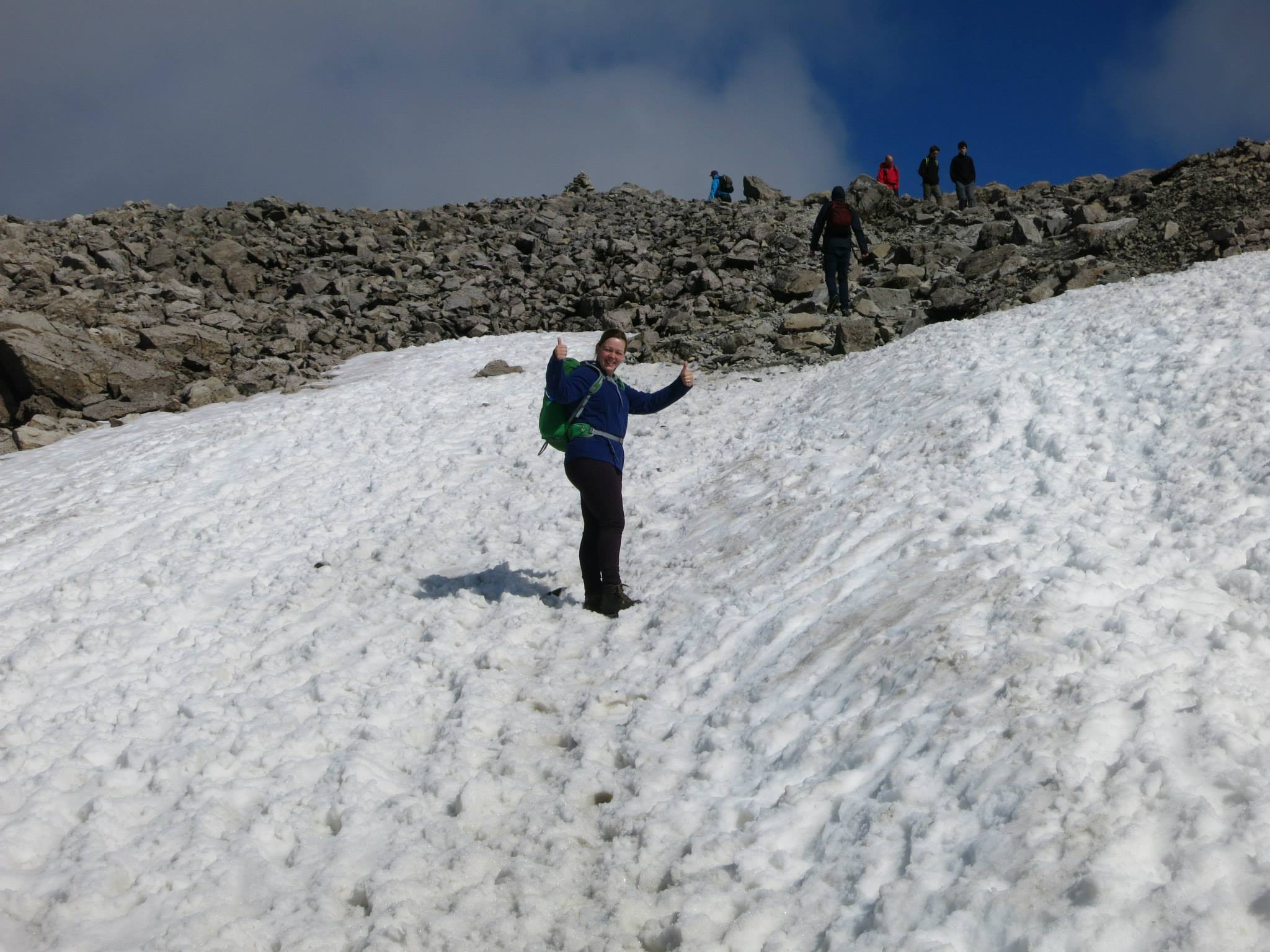
Snow!?!
Time for a quick celebration, a snack to eat and some time to enjoy the views - but... we could see the clouds were rolling in fast and we still had to get back down yet! We hot footed it as quick as we could back down and made it minutes before dark hit!
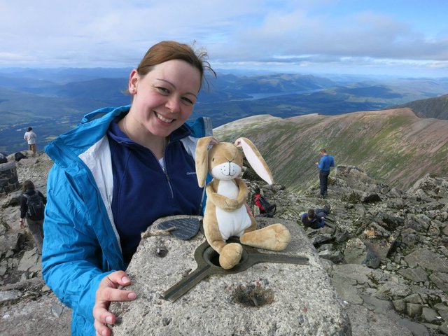
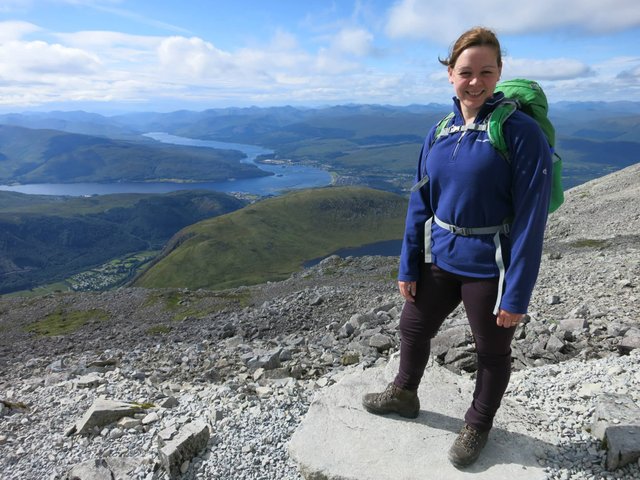
With our mascot at the summit
Mission accomplished! We now had a spare day to rest and recover - I think we deserved it... I forgot to mention we went up Scafell Pike the day before... and Snowdon the day before that!
Looking back at the summit not long after we had left - covered in cloud!
Hope you enjoyed!
Thanks for reading.
Wow cool a very good postman, I always enjoy this post
Nice timing on the summit it sounds like, cool that you got to see the views. Also, nice to see you posting again! It is kind of funny to me that this is the highest point in the whole UK. We would barely call this a hill where I come from (in southeast Alaska) :) Much love - Carl
Ahh, thank you.
Indeed, we timed the summit perfectly... timed to perfection and nothing to do with luck of course :D Haha, yeah the UK doesn't have a lot of altitude - unlike Alaska of course... one of the seven summits with Mount McKinley 6190m, that's like 4.5 Ben Nevis stacked!