Climbing is my hobby that I really like

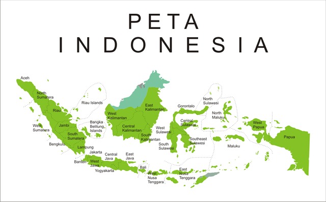
Burni Telong which in Indonesian is defined as a burning mountain, located at an altitude of 2,600 meters above sea level. The mountain is only five kilometers from Redelong, the capital of Bener Meriah Regency and Rembele Airport (RBL). This mountain by the local community is called Burni Cempege which in Gayo language means the mountain full of sulfur.
For a long time did not show its activity, this mountain is rumored to be erupting. Investigate a calibaration apparently the issue is not true. The issue arose some time after the eruption of Mount Sinabung in Brastagi, North Sumatra. The issue of course caused public unrest.
Syafi'ie, Burni Telong Fire Supervisory Officer explained that people should not be afraid and not be affected by issues that are not true "The condition of Burni Telong is still unremarkable, because from our observations there is no significant change" said Safi ' E told reporters.
Mount Burni Telong itself is type A, so supervision continues for 24 hours. Burni Telong is included in three volcanoes of type A. or active, namely Mount Seulawah Agam in Aceh Besar district, Mount Peut Sagoe in Pidie district, and Mount Burni Telong in Bener Meriah.
As written by one of Medan Daily News, Mount Seulawah Agam is one of three active strati type volcanoes in Aceh Province. The shortest rest period from Mount Seulawah Agam is 136 years and the longest 239 years. The last eruption occurred in the parasite crater on 12-13 January 1839, in the Heutz crater of phreatic eruption.
Of the three volcanoes of type A in Aceh, the most feared experts are Mount Burni Telong in Bener Meriah. Because, in the mountain area there is a city that is in the area of
disaster-prone maps. Burni Telong has a peak with a height of 2624 meters above sea level (asl). This difference is thin with the height of Mount Peuet Sagoe in Pidie, which is 2780 meters above sea level.
If you want to do the Ascent should consult with local youth or invite one or two of them to participate, unless you are familiar with the terrain and climbing route Mount Burni Telong. The condition of the field to reach the peak height is rather steep. But, the path from Bandar Lampahan to the slopes is a favorite choice of nature lovers or mountain climbers.
Along the route has a steep terrain, which is often used climber as a place to stay if you want to spend the night for several days. At the height of Burni Telong, the pine trees spoil the eyes. From this mountain also flowing hot water which then made hot water bath in District Wih Pesam, Lampahan.


And climbing is also one of my hobbies.
I also love the beautiful scenery on the top of the mountain, like I look at the beautiful paradise of the world
FOLLOW ME @syahrulramadhan
nice post
i like your post my friend
thank you very much my friend
I am glad to be your friend
What is your steemit chat account name?
You must have tough feet to climb in sandals!
I time that day there are no shoes so I wear sandals, but allhamdulillah we are there no why why
Keep steemin my friend
Thankyou sobat ku :)
https://steemit.com/travel/@steamworld/enchantment-hill-panyaweuyan-argapura-majalengka-becomes-a-travel-hunter-photographer
Congratulations @syahrulramadhan! You have completed some achievement on Steemit and have been rewarded with new badge(s) :
Click on any badge to view your own Board of Honor on SteemitBoard.
For more information about SteemitBoard, click here
If you no longer want to receive notifications, reply to this comment with the word
STOP