Plotting Airports on MAP: Simplifying Logistics and Planning
Plotting airports on maps has never been easier! With MAPOG, seamlessly upload Excel files for precise plotting. Enhance clarity with captivating new icon styles, revolutionizing logistics, travel planning, and urban development.

🗺️ Streamlined Navigation
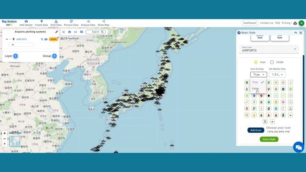
Utilize MAPOG to plot airport locations efficiently, facilitating spatial visualization for air navigation.
🏢 Industry Impact
From aviation to logistics, MAPOG's tools are invaluable for various sectors, optimizing operations and infrastructure development.

🔍 Learn More
Discover the power of MAPOG's mapping solutions at MAPOG. Simplify your mapping process today!
https://www.mapog.com/plotting-airports-with-mapog/
Sort: Trending
Loading...