"tut gut" hiking trail Grafenegg - Route 1: "along the Mühlkamp creek"
 " alt=""tut gut" hiking trail Grafenegg - Route 1: "along the Mühlkamp creek""/>
Here's another "tut gut" hike I took in the municipality of Grafenegg - the Route 1: "along the Mühlkamp creek". Some weeks ago I already took Route 2: "along the Kamp river" and Route 4: "fünfeckiger Stein".
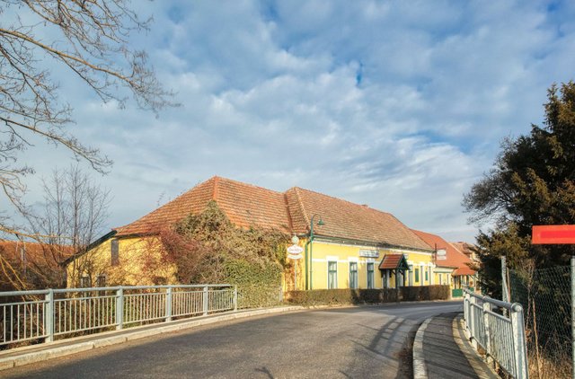
The starting point is the same as the one of Route 2, the restaurant Landgasthaus "anno 1920" in Etsdorf. From there you cross the bridge over the Mühlkamp.
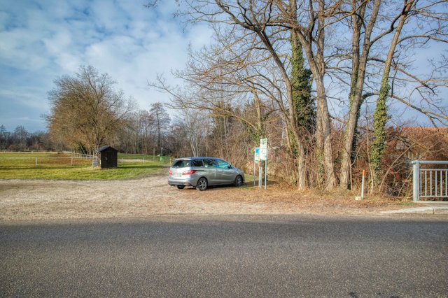
Then you can find an information board with a box that contains free maps for all "tut gut" hiking trails.
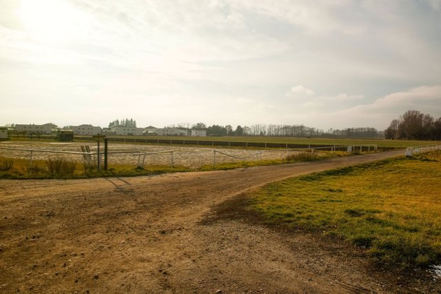
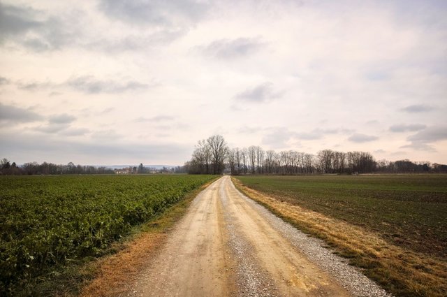
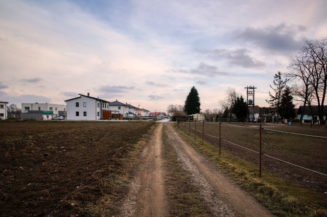
Then you walk through these paddocks.
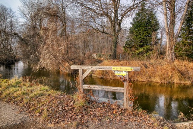
Then you come to a small creek called "Mühlkamp". The signposts here are just for the way back, now you can ignore them.
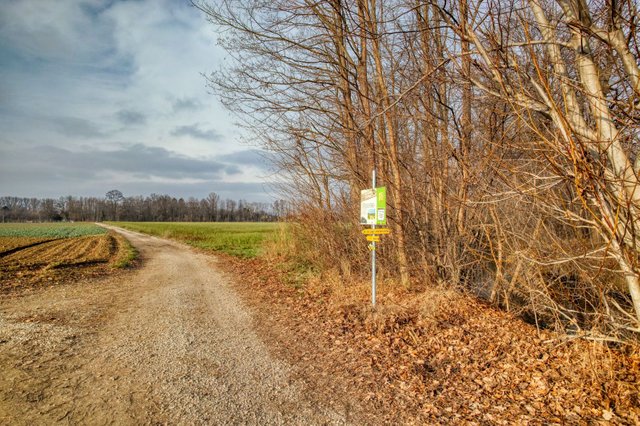
Here Route 2 branches off, but for Route 1 you have to walk straight ahead. By the way, Route 1 is marked with a red dot on the signposts.
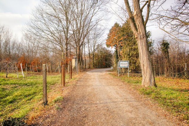
A little bit later you reach a small village called "Diendorf".
With only 45 inhabitants, Diendorf is the second smallest of the nine villages that together form the municipality of Grafenegg.
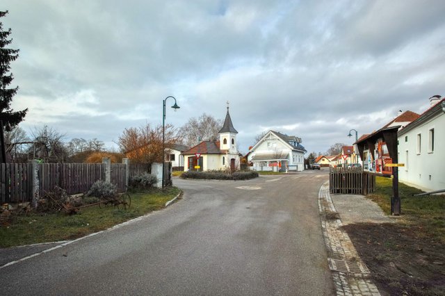
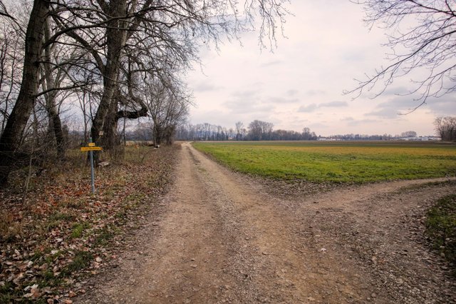
Turn left before the small chapel.
Then turn right.
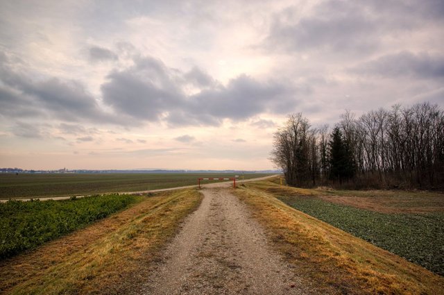
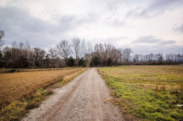
Then turn left again and continue walking on this dam. It is called "Kampdamm" and leads along the Kamp river. However, there are so many trees that even in winter you won't see the river.
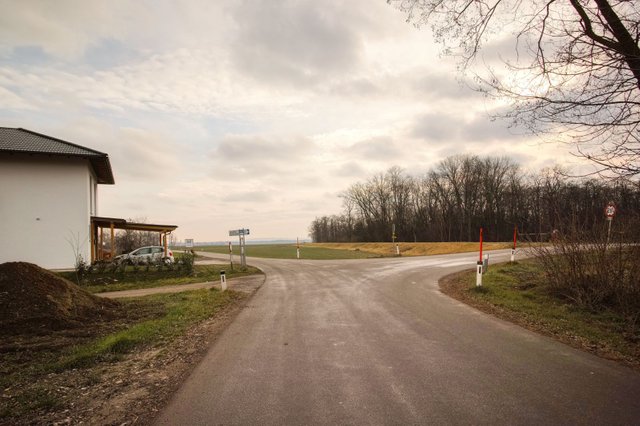
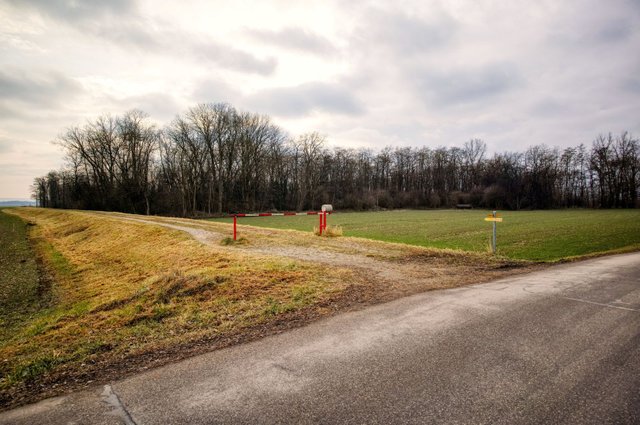
After the next barrier turn left.
From now on Route 1 and Route 2 are exactly the same.
After crossing the L7016 turn right.
Turn left before you reach the first houses of the village "Sittendorf".
Finally you reach the Mühlkamp again, turn right and walk back to the starting point. For the whole hike you'll need between 45 and 60 minutes.
I have to admit that this hiking trail is rather boring. The height difference is just 20 meters and all paths are rather broad. But it is nice for Nordic Walking and you can also use a stroller.
Anyway, the main intention of these "tut gut" hiking trails is to motivate the inhabitants to hike, not to attract tourists. So, if you live in Grafenegg or in the neighborhood or if you come to Grafenegg for work and have some spare time - take this hike! But I don't see a reason to come to Grafenegg from far away just to take this hike. There are more interesting hikes in this area for example Route 3 (that I am going to present during the next days) or a walk in the park of Grafenegg castle (see here).
The official description of Route 1 can be found on wanderwege.noetutgut.at! Choose "Waldviertel", the "Grafenegg" and finally "Route 1"!
A more detailled description - including more photos and a detailled map with all turning points - can be found on schmatz.blog!
View this post on TravelFeed for the best experience.
Ein wunderbares neues Jahr 2020 wünsch ich dir
Danke! Ebenso!
Du hast einen Vote von @portalvotes bekommen.
Congratulations, Your Post Has Been Added To The Steemit Worldmap!
Author link: http://steemitworldmap.com?author=schmatz
Post link: http://steemitworldmap.com?post=tut-gut-hiking-trail-grafenegg-route-1-along-the-muehlkamp-creek
Want to have your post on the map too?