Disturbing before-and-after images show what major US cities could look like in the year 2100
Disturbing before-and-after images show what major US cities could look like in the year 2100

"America the Beautiful" could be unrecognizable in the not-so-distant future.
In January 2017, a report from the National Oceanic and Atmospheric Agency hinted at the possibility of an "extreme" sea-level rise scenario that would put some American landmarks, towns, and cities underwater during this century.
That scenario is considered unlikely, but possible. If the worst climate change predictions come true, parts of the US will be devastated by flooding and greater exposure to storm surges.
Research group Climate Central took the projections laid out in NOAA's report and created a plug-in for Google Earth that shows how catastrophic the damage would be if the flooding happened today. You can install it (directions here) and see anywhere in the US.
Here's what major US cities might look like in the year 2100.
In a worst case scenario, flooding caused by polar melting and ice-sheet collapses could cause a sea level rise of 10 to 12 feet by 2100, NOAA reported in January 2017.

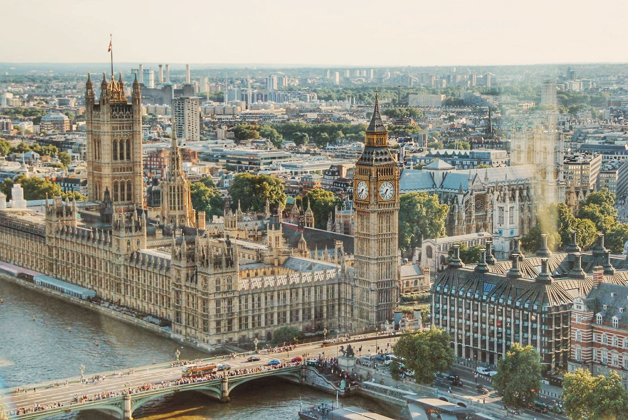
Here's Washington, DC today. The famed Potomac River runs through it.
