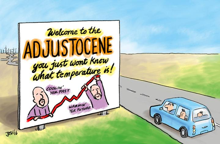
Tales of the Adjustocene
Satellite Sea Level Edition
.......................................................................................................................................................................................................
---from the article---
When the observations don’t match the models, adjust the observations…
Satellite snafu masked true sea-level rise for decades
Revised tallies confirm that the rate of sea-level rise is accelerating as the Earth warms and ice sheets thaw.
The numbers didn’t add up. Even as Earth grew warmer and glaciers and ice sheets thawed, decades of satellite data seemed to show that the rate of sea-level rise was holding steady — or even declining.
Now, after puzzling over this discrepancy for years, scientists have identified its source: a problem with the calibration of a sensor on the first of several satellites launched to measure the height of the sea surface using radar. Adjusting the data to remove that error suggests that sea levels are indeed rising at faster rates each year.
“The rate of sea-level rise is increasing, and that increase is basically what we expected,” says Steven Nerem, a remote-sensing expert at the University of Colorado Boulder who is leading the reanalysis. He presented the as-yet-unpublished analysis on 13 July in New York City at a conference sponsored by the World Climate Research Programme and the International Oceanographic Commission, among others.
Nerem’s team calculated that the rate of sea-level rise increased from around 1.8 millimetres per year in 1993 to roughly 3.9 millimetres per year today as a result of global warming. In addition to the satellite calibration error, his analysis also takes into account other factors that have influenced sea-level rise in the last several decades, such as the eruption of Mount Pinatubo in the Philippines in 1991 and the recent El Niño weather pattern.
The view from above
The results align with three recent studies that have raised questions about the earliest observations of sea-surface height, or altimetry, captured by the TOPEX/Poseidon spacecraft, a joint US–French mission that began collecting data in late 1992. Those measurements continued with the launch of three subsequent satellites.
“Whatever the methodology, we all come up with the same conclusions,” says Anny Cazenave, a geophysicist at the Laboratory for Studies in Space Geophysics and Oceanography (LEGOS) in Toulouse, France.
[…]
So… They accomplished accelerated sea level rise by slowing down the past…
The scariest thing is the fact that the damage we inflict on our planet sets off such chains of catastrophy. You spoke of elnino and the strangest thing is how our climate and shift in rotation caused a huge tsunami threw our earth off of its axis and now has created a new pattern of increased weather conditions stronger storms, more intense storms and much more dangerous storms. Here is to hoping the floods come before earth colapses into its self like a nuetron star. Great post