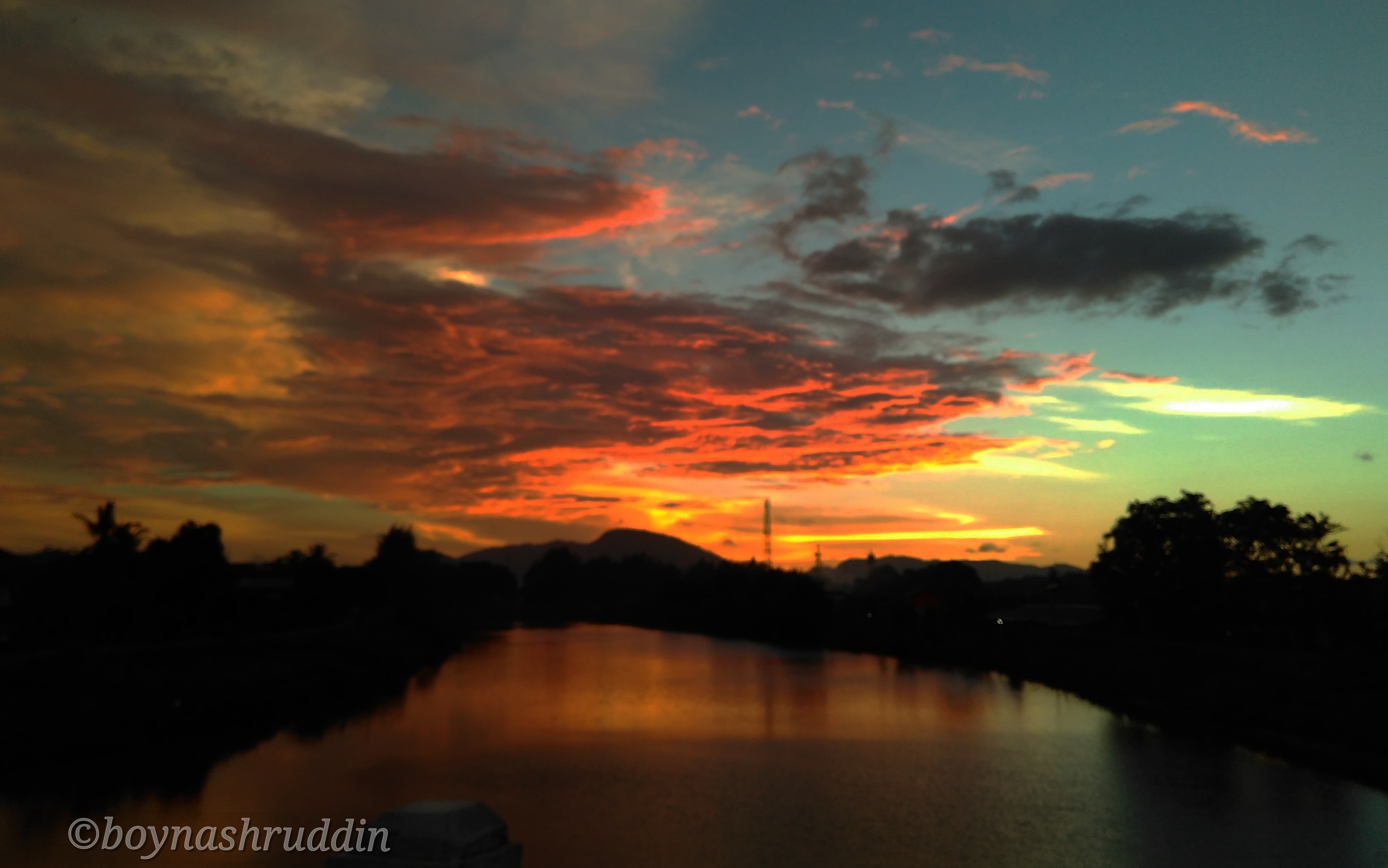
Landmarks Aceh
Krueng (River) Aceh is a landmark of the capital of Aceh since the kingdom era. The river has witnessed various histories and kept important notes about humans living around them. This river has upstream in the mountains of Aceh Besar with a total length of 145 Kilometers.
The soil types in Krueng Aceh are dominated by latosol (32,900,54 Ha (16,63%), alluvial area of 28,938,36 Ha (14,63%) and regression of 15,581,93 Ha (7,88%). Furthermore, the podsolic complex of chocolate podsol and litosol covering 38,325.06 Ha (19.37%), renzina complex and litosol covering 31,135.68 Ha (15,74%) and podsolic complex of yellow red latosol and litosol covering 22,056.45 Ha (19 , 37%).¹
In its heyday, Krueng Aceh became the main transportation route for the family of the Aceh palace. The downstream of this river is in the Malacca Strait, which also serves as a major gateway for foreign explorers who want to enter the Kingdom of Aceh Darussalam.
In the past, the Aceh River was also known as Kuala Naga. Settlements around the river has been around for a long time. Gampong Pande, for example. Gampong Pande allegedly as one of the important settlements in the Kingdom of Aceh Darussalam. This can be seen by the number of important tombstones in the region. In addition, the Acehnese have found the gold coin, dirham, and Dutch sword in the Gampong Pande area.
The Gampong Pande area is located right at the estuary of Krueng Aceh.
In addition to Pande, other important settlements along the Krueng Aceh river basin are Indrapuri, Lubok, Lambaro and Pango. These areas are thought to be important settlements throughout the history of Krueng Aceh's existence until now.

Photo with Xiaomi Redmi
Focal length: 3.85 mm
Lens hole: f / 2.2
Light time: 1/136
ISO100
Reference: