Welcome to the Kharkov Ukraine

Area: 300 km2
Population: 1 754 123
Height: 94 - 120 m above sea level
Geogr. coordinates: 50° 00' mon. W. 36° 15' East. lengths.
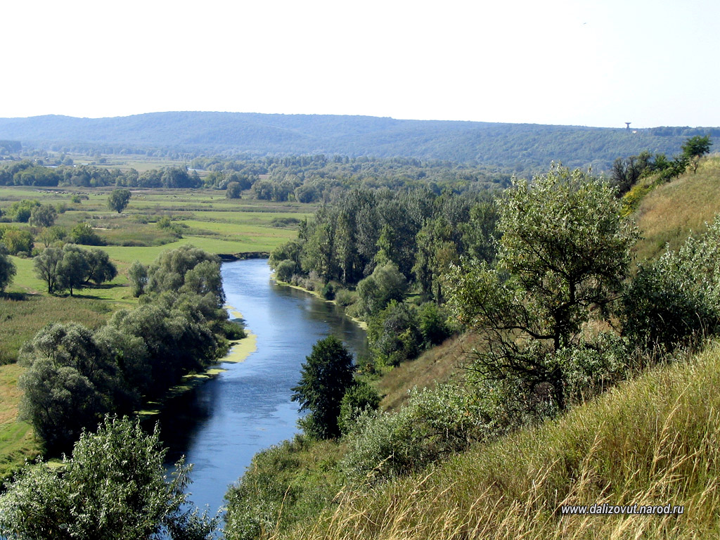
topographic map of Kharkiv Kharkiv is located in the watershed of hills in the valley of the rivers (Kharkiv, Lopan and UDI); on the territory of modern Kharkov these small rivers converge and join (through UDA) to the Donets. The highest point Dr. G. M. 120 m (Park), the lowest — 94 (novoselivka). From the point of view of the relief of Kharkiv is divided into four low-lying four elevated districts. The runoff creates a pit, which stretches from the North. Def. to the South. CX. between Sir. upland and Donetsk lowlands. Originally river valleys on the territory of Kharkov were swamped, some in the summer would dry up the small streams to Netech, Nemerle). Hills Kharkov, pens. sandy, until recently, was covered with pine and birch forests (Kholodna Hora, a hill on the North. Lopan).
The territory of modern Kharkiv covers 300 square kilometers and administratively divided into 9 districts: Dzerzhinsky, October, Kiev, Kominternovsky, Leninsky, Moskovsky, Frunzensky and Ordzhonikidzevsky chervonozavodsky. However, until recently, was preserved the old names of the "sides" of settlements and villages that were gradually included in X.: Separation, Zalopany, Zacharkiw, Klochkovskaya settlement, Pavlovka, Horse Bazaar, desert Arabia, the Basis Panasivka, Dovgalivka, Zaikivka, Big and Small Goncharovka, zhuravlivka Vereshaka, Ivanovka, Petinka, Moskalevka, New Serbia, New Bavaria, etc. Before 1914, the territory of X. had approximately 10,000 ha.
